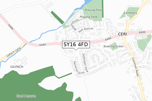
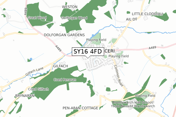
SY16 4FD is located in the Kerry electoral ward, within the unitary authority of Powys and the Welsh Parliamentary constituency of Montgomeryshire. The Local Health Board is Powys Teaching and the police force is Dyfed-Powys. This postcode has been in use since April 2020.


GetTheData
Source: OS Open Zoomstack (Ordnance Survey)
Licence: Open Government Licence (requires attribution)
Attribution: Contains OS data © Crown copyright and database right 2024
Source: Open Postcode Geo
Licence: Open Government Licence (requires attribution)
Attribution: Contains OS data © Crown copyright and database right 2024; Contains Royal Mail data © Royal Mail copyright and database right 2024; Source: Office for National Statistics licensed under the Open Government Licence v.3.0
| Easting | 314395 |
| Northing | 289918 |
| Latitude | 52.500434 |
| Longitude | -3.262498 |
GetTheData
Source: Open Postcode Geo
Licence: Open Government Licence
| Country | Wales |
| Postcode District | SY16 |
➜ See where SY16 is on a map ➜ Where is Ceri? | |
GetTheData
Source: Land Registry Price Paid Data
Licence: Open Government Licence
| Ward | Kerry |
| Constituency | Montgomeryshire |
GetTheData
Source: ONS Postcode Database
Licence: Open Government Licence
| Herbert Arms (A489) | Kerry | 353m |
| Herbert Arms (A489) | Kerry | 371m |
| Kerry Lamb Inn (A489) | Kerry | 409m |
| Newtown (Powys) Station | 3.6km |
GetTheData
Source: NaPTAN
Licence: Open Government Licence
GetTheData
Source: ONS Postcode Database
Licence: Open Government Licence


➜ Get more ratings from the Food Standards Agency
GetTheData
Source: Food Standards Agency
Licence: FSA terms & conditions
The below table lists the International Territorial Level (ITL) codes (formerly Nomenclature of Territorial Units for Statistics (NUTS) codes) and Local Administrative Units (LAU) codes for SY16 4FD:
| ITL 1 Code | Name |
|---|---|
| TLL | Wales |
| ITL 2 Code | Name |
| TLL2 | East Wales |
| ITL 3 Code | Name |
| TLL24 | Powys |
| LAU 1 Code | Name |
| W06000023 | Powys |
GetTheData
Source: ONS Postcode Directory
Licence: Open Government Licence
The below table lists the Census Output Area (OA), Lower Layer Super Output Area (LSOA), and Middle Layer Super Output Area (MSOA) for SY16 4FD:
| Code | Name | |
|---|---|---|
| OA | W00002389 | |
| LSOA | W01000447 | Powys 007C |
| MSOA | W02000103 | Powys 007 |
GetTheData
Source: ONS Postcode Directory
Licence: Open Government Licence
| SY16 4EA | Penarron Drive | 70m |
| SY16 4DF | Willans Court | 84m |
| SY16 4DL | 84m | |
| SY16 4DZ | Dolforgan View | 152m |
| SY16 4NJ | Herbert Court | 190m |
| SY16 4DH | Rowan Court | 213m |
| SY16 4DA | Park Avenue | 217m |
| SY16 4DD | Beech Grove | 217m |
| SY16 4DB | Willans Drive | 220m |
| SY16 4NU | 232m |
GetTheData
Source: Open Postcode Geo; Land Registry Price Paid Data
Licence: Open Government Licence