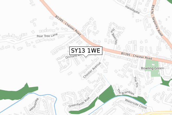
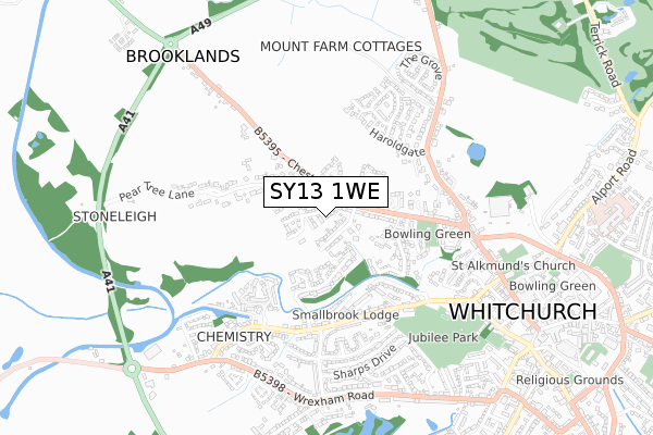
SY13 1WE is located in the Whitchurch North electoral ward, within the unitary authority of Shropshire and the English Parliamentary constituency of North Shropshire. The Sub Integrated Care Board (ICB) Location is NHS Shropshire, Telford and Wrekin ICB - M2L0M and the police force is West Mercia. This postcode has been in use since July 2018.


GetTheData
Source: OS Open Zoomstack (Ordnance Survey)
Licence: Open Government Licence (requires attribution)
Attribution: Contains OS data © Crown copyright and database right 2025
Source: Open Postcode Geo
Licence: Open Government Licence (requires attribution)
Attribution: Contains OS data © Crown copyright and database right 2025; Contains Royal Mail data © Royal Mail copyright and database right 2025; Source: Office for National Statistics licensed under the Open Government Licence v.3.0
| Easting | 353396 |
| Northing | 341933 |
| Latitude | 52.972727 |
| Longitude | -2.695432 |
GetTheData
Source: Open Postcode Geo
Licence: Open Government Licence
| Country | England |
| Postcode District | SY13 |
➜ See where SY13 is on a map | |
GetTheData
Source: Land Registry Price Paid Data
Licence: Open Government Licence
| Ward | Whitchurch North |
| Constituency | North Shropshire |
GetTheData
Source: ONS Postcode Database
Licence: Open Government Licence
| Westbrook Avenue Jct (Smallbrook Road) | Whitchurch | 410m |
| Brookfield Jct (Smallbrook Road) | Whitchurch | 420m |
| Greenfields Way Jct (Smallbrook Road) | Whitchurch | 444m |
| Smallbrook Buildings (Smallbrook Road) | Whitchurch | 453m |
| Bathfields Crescent Jct (Smallbrook Road) | Whitchurch | 491m |
| Whitchurch (Shrops) Station | 1.7km |
GetTheData
Source: NaPTAN
Licence: Open Government Licence
| Percentage of properties with Next Generation Access | 100.0% |
| Percentage of properties with Superfast Broadband | 100.0% |
| Percentage of properties with Ultrafast Broadband | 100.0% |
| Percentage of properties with Full Fibre Broadband | 100.0% |
Superfast Broadband is between 30Mbps and 300Mbps
Ultrafast Broadband is > 300Mbps
| Percentage of properties unable to receive 2Mbps | 0.0% |
| Percentage of properties unable to receive 5Mbps | 0.0% |
| Percentage of properties unable to receive 10Mbps | 0.0% |
| Percentage of properties unable to receive 30Mbps | 0.0% |
GetTheData
Source: Ofcom
Licence: Ofcom Terms of Use (requires attribution)
GetTheData
Source: ONS Postcode Database
Licence: Open Government Licence


➜ Get more ratings from the Food Standards Agency
GetTheData
Source: Food Standards Agency
Licence: FSA terms & conditions
| Last Collection | |||
|---|---|---|---|
| Location | Mon-Fri | Sat | Distance |
| Gasworks | 17:30 | 11:45 | 514m |
| Chemistry | 17:30 | 11:30 | 648m |
| Wrexham Road | 17:30 | 08:15 | 673m |
GetTheData
Source: Dracos
Licence: Creative Commons Attribution-ShareAlike
The below table lists the International Territorial Level (ITL) codes (formerly Nomenclature of Territorial Units for Statistics (NUTS) codes) and Local Administrative Units (LAU) codes for SY13 1WE:
| ITL 1 Code | Name |
|---|---|
| TLG | West Midlands (England) |
| ITL 2 Code | Name |
| TLG2 | Shropshire and Staffordshire |
| ITL 3 Code | Name |
| TLG22 | Shropshire |
| LAU 1 Code | Name |
| E06000051 | Shropshire |
GetTheData
Source: ONS Postcode Directory
Licence: Open Government Licence
The below table lists the Census Output Area (OA), Lower Layer Super Output Area (LSOA), and Middle Layer Super Output Area (MSOA) for SY13 1WE:
| Code | Name | |
|---|---|---|
| OA | E00147135 | |
| LSOA | E01028892 | Shropshire 001B |
| MSOA | E02006015 | Shropshire 001 |
GetTheData
Source: ONS Postcode Directory
Licence: Open Government Licence
| SY13 1NE | Chester Avenue | 64m |
| SY13 1NN | Cottesloe Ridge | 128m |
| SY13 1ND | Chester Road | 169m |
| SY13 1NB | Chester Road | 179m |
| SY13 1FA | Barnfield Close | 196m |
| SY13 1NA | Bryn Estyn Avenue | 227m |
| SY13 1EP | Greenfields Rise | 229m |
| SY13 1ED | Stags Leap | 255m |
| SY13 1NH | Chester Road | 265m |
| SY13 1NG | Pear Tree Lane | 282m |
GetTheData
Source: Open Postcode Geo; Land Registry Price Paid Data
Licence: Open Government Licence