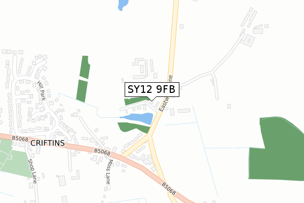
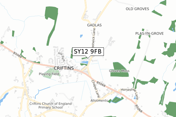
SY12 9FB is located in the St Martin's electoral ward, within the unitary authority of Shropshire and the English Parliamentary constituency of North Shropshire. The Sub Integrated Care Board (ICB) Location is NHS Shropshire, Telford and Wrekin ICB - M2L0M and the police force is West Mercia. This postcode has been in use since May 2018.


GetTheData
Source: OS Open Zoomstack (Ordnance Survey)
Licence: Open Government Licence (requires attribution)
Attribution: Contains OS data © Crown copyright and database right 2025
Source: Open Postcode Geo
Licence: Open Government Licence (requires attribution)
Attribution: Contains OS data © Crown copyright and database right 2025; Contains Royal Mail data © Royal Mail copyright and database right 2025; Source: Office for National Statistics licensed under the Open Government Licence v.3.0
| Easting | 337276 |
| Northing | 336888 |
| Latitude | 52.925737 |
| Longitude | -2.934468 |
GetTheData
Source: Open Postcode Geo
Licence: Open Government Licence
| Country | England |
| Postcode District | SY12 |
➜ See where SY12 is on a map ➜ Where is Criftins? | |
GetTheData
Source: Land Registry Price Paid Data
Licence: Open Government Licence
| Ward | St Martin's |
| Constituency | North Shropshire |
GetTheData
Source: ONS Postcode Database
Licence: Open Government Licence
| Eastwick Lane Jct (B5068) | Dudleston Heath | 205m |
| Eastwick Lane Jct (B5068) | Dudleston Heath | 216m |
| Parish Hall (B5068) | Dudleston Heath | 524m |
| Bomaby Palace (B5068) | Dudleston Heath | 535m |
| Parish Hall (B5068) | Dudleston Heath | 548m |
GetTheData
Source: NaPTAN
Licence: Open Government Licence
GetTheData
Source: ONS Postcode Database
Licence: Open Government Licence

➜ Get more ratings from the Food Standards Agency
GetTheData
Source: Food Standards Agency
Licence: FSA terms & conditions
| Last Collection | |||
|---|---|---|---|
| Location | Mon-Fri | Sat | Distance |
| Cross Street | 17:30 | 10:00 | 3,338m |
| Swanmere Park | 17:30 | 07:30 | 3,351m |
| Watergate Street | 17:30 | 10:00 | 3,433m |
GetTheData
Source: Dracos
Licence: Creative Commons Attribution-ShareAlike
The below table lists the International Territorial Level (ITL) codes (formerly Nomenclature of Territorial Units for Statistics (NUTS) codes) and Local Administrative Units (LAU) codes for SY12 9FB:
| ITL 1 Code | Name |
|---|---|
| TLG | West Midlands (England) |
| ITL 2 Code | Name |
| TLG2 | Shropshire and Staffordshire |
| ITL 3 Code | Name |
| TLG22 | Shropshire |
| LAU 1 Code | Name |
| E06000051 | Shropshire |
GetTheData
Source: ONS Postcode Directory
Licence: Open Government Licence
The below table lists the Census Output Area (OA), Lower Layer Super Output Area (LSOA), and Middle Layer Super Output Area (MSOA) for SY12 9FB:
| Code | Name | |
|---|---|---|
| OA | E00147005 | |
| LSOA | E01028864 | Shropshire 004A |
| MSOA | E02006017 | Shropshire 004 |
GetTheData
Source: ONS Postcode Directory
Licence: Open Government Licence
| SY12 9NG | Grapes Lane | 170m |
| SY12 9DY | 211m | |
| SY12 9LA | 230m | |
| SY12 9LD | 265m | |
| SY12 9LB | Hill Park | 304m |
| SY12 9ND | Revells Close | 310m |
| SY12 9RA | Moss Lane | 328m |
| SY12 9JQ | Peever Close | 374m |
| SY12 9JZ | Britannia Cottages | 391m |
| SY12 9NB | Kaymaur Close | 398m |
GetTheData
Source: Open Postcode Geo; Land Registry Price Paid Data
Licence: Open Government Licence