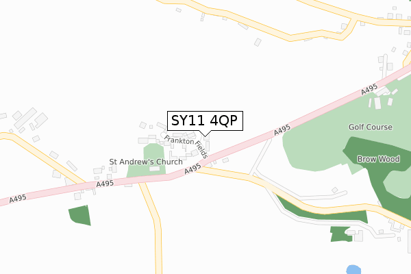
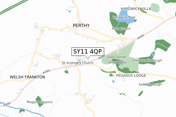
SY11 4QP is located in the The Meres electoral ward, within the unitary authority of Shropshire and the English Parliamentary constituency of North Shropshire. The Sub Integrated Care Board (ICB) Location is NHS Shropshire, Telford and Wrekin ICB - M2L0M and the police force is West Mercia. This postcode has been in use since November 2019.


GetTheData
Source: OS Open Zoomstack (Ordnance Survey)
Licence: Open Government Licence (requires attribution)
Attribution: Contains OS data © Crown copyright and database right 2025
Source: Open Postcode Geo
Licence: Open Government Licence (requires attribution)
Attribution: Contains OS data © Crown copyright and database right 2025; Contains Royal Mail data © Royal Mail copyright and database right 2025; Source: Office for National Statistics licensed under the Open Government Licence v.3.0
| Easting | 336516 |
| Northing | 333244 |
| Latitude | 52.892894 |
| Longitude | -2.945058 |
GetTheData
Source: Open Postcode Geo
Licence: Open Government Licence
| Country | England |
| Postcode District | SY11 |
➜ See where SY11 is on a map ➜ Where is Welsh Frankton? | |
GetTheData
Source: Land Registry Price Paid Data
Licence: Open Government Licence
| Ward | The Meres |
| Constituency | North Shropshire |
GetTheData
Source: ONS Postcode Database
Licence: Open Government Licence
| Post Office (A495) | Welsh Frankton | 244m |
| Post Office (A495) | Welsh Frankton | 254m |
| Brow Lane Jct (Brow Lane) | Perthy | 500m |
| Brow Lane Jct (Brow Lane) | Perthy | 502m |
| Narrowboat Inn (A495) | Welsh Frankton | 1,365m |
GetTheData
Source: NaPTAN
Licence: Open Government Licence
GetTheData
Source: ONS Postcode Database
Licence: Open Government Licence


➜ Get more ratings from the Food Standards Agency
GetTheData
Source: Food Standards Agency
Licence: FSA terms & conditions
| Last Collection | |||
|---|---|---|---|
| Location | Mon-Fri | Sat | Distance |
| Watergate Street | 17:30 | 10:00 | 3,814m |
| Cross Street | 17:30 | 10:00 | 3,901m |
| Swanmere Park | 17:30 | 07:30 | 4,092m |
GetTheData
Source: Dracos
Licence: Creative Commons Attribution-ShareAlike
The below table lists the International Territorial Level (ITL) codes (formerly Nomenclature of Territorial Units for Statistics (NUTS) codes) and Local Administrative Units (LAU) codes for SY11 4QP:
| ITL 1 Code | Name |
|---|---|
| TLG | West Midlands (England) |
| ITL 2 Code | Name |
| TLG2 | Shropshire and Staffordshire |
| ITL 3 Code | Name |
| TLG22 | Shropshire |
| LAU 1 Code | Name |
| E06000051 | Shropshire |
GetTheData
Source: ONS Postcode Directory
Licence: Open Government Licence
The below table lists the Census Output Area (OA), Lower Layer Super Output Area (LSOA), and Middle Layer Super Output Area (MSOA) for SY11 4QP:
| Code | Name | |
|---|---|---|
| OA | E00147041 | |
| LSOA | E01028872 | Shropshire 004E |
| MSOA | E02006017 | Shropshire 004 |
GetTheData
Source: ONS Postcode Directory
Licence: Open Government Licence
| SY12 9HN | 86m | |
| SY11 4NX | 363m | |
| SY12 9HP | 378m | |
| SY12 9HR | 443m | |
| SY12 9HU | Windyridge | 477m |
| SY12 9HW | 481m | |
| SY11 4NY | 660m | |
| SY12 9HS | 667m | |
| SY12 9HT | 734m | |
| SY12 9HX | 808m |
GetTheData
Source: Open Postcode Geo; Land Registry Price Paid Data
Licence: Open Government Licence