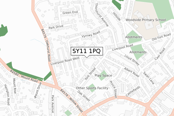
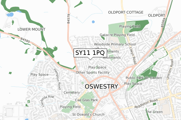
SY11 1PQ is located in the Oswestry West electoral ward, within the unitary authority of Shropshire and the English Parliamentary constituency of North Shropshire. The Sub Integrated Care Board (ICB) Location is NHS Shropshire, Telford and Wrekin ICB - M2L0M and the police force is West Mercia. This postcode has been in use since September 2017.


GetTheData
Source: OS Open Zoomstack (Ordnance Survey)
Licence: Open Government Licence (requires attribution)
Attribution: Contains OS data © Crown copyright and database right 2025
Source: Open Postcode Geo
Licence: Open Government Licence (requires attribution)
Attribution: Contains OS data © Crown copyright and database right 2025; Contains Royal Mail data © Royal Mail copyright and database right 2025; Source: Office for National Statistics licensed under the Open Government Licence v.3.0
| Easting | 328880 |
| Northing | 330124 |
| Latitude | 52.863895 |
| Longitude | -3.057855 |
GetTheData
Source: Open Postcode Geo
Licence: Open Government Licence
| Country | England |
| Postcode District | SY11 |
➜ See where SY11 is on a map ➜ Where is Oswestry? | |
GetTheData
Source: Land Registry Price Paid Data
Licence: Open Government Licence
| Ward | Oswestry West |
| Constituency | North Shropshire |
GetTheData
Source: ONS Postcode Database
Licence: Open Government Licence
| Denham Drive Jct (Vyrnwy Road) | Oswestry | 151m |
| Liverpool Road West Jct (Oakhurst Road) | Oswestry | 218m |
| Park Drive Jct (Oakhurst Road) | Oswestry | 278m |
| The Castle Ph (Castle Street) | Oswestry | 290m |
| Outside No 90 (Willow Street) | Oswestry | 292m |
| Gobowen Station | 3.6km |
GetTheData
Source: NaPTAN
Licence: Open Government Licence
| Percentage of properties with Next Generation Access | 100.0% |
| Percentage of properties with Superfast Broadband | 100.0% |
| Percentage of properties with Ultrafast Broadband | 0.0% |
| Percentage of properties with Full Fibre Broadband | 0.0% |
Superfast Broadband is between 30Mbps and 300Mbps
Ultrafast Broadband is > 300Mbps
| Percentage of properties unable to receive 2Mbps | 0.0% |
| Percentage of properties unable to receive 5Mbps | 0.0% |
| Percentage of properties unable to receive 10Mbps | 0.0% |
| Percentage of properties unable to receive 30Mbps | 0.0% |
GetTheData
Source: Ofcom
Licence: Ofcom Terms of Use (requires attribution)
GetTheData
Source: ONS Postcode Database
Licence: Open Government Licence


➜ Get more ratings from the Food Standards Agency
GetTheData
Source: Food Standards Agency
Licence: FSA terms & conditions
| Last Collection | |||
|---|---|---|---|
| Location | Mon-Fri | Sat | Distance |
| Beatrice Street | 18:00 | 12:00 | 455m |
| Somerfield | 18:00 | 12:00 | 554m |
| Salop Road | 17:45 | 11:30 | 824m |
GetTheData
Source: Dracos
Licence: Creative Commons Attribution-ShareAlike
The below table lists the International Territorial Level (ITL) codes (formerly Nomenclature of Territorial Units for Statistics (NUTS) codes) and Local Administrative Units (LAU) codes for SY11 1PQ:
| ITL 1 Code | Name |
|---|---|
| TLG | West Midlands (England) |
| ITL 2 Code | Name |
| TLG2 | Shropshire and Staffordshire |
| ITL 3 Code | Name |
| TLG22 | Shropshire |
| LAU 1 Code | Name |
| E06000051 | Shropshire |
GetTheData
Source: ONS Postcode Directory
Licence: Open Government Licence
The below table lists the Census Output Area (OA), Lower Layer Super Output Area (LSOA), and Middle Layer Super Output Area (MSOA) for SY11 1PQ:
| Code | Name | |
|---|---|---|
| OA | E00147217 | |
| LSOA | E01028908 | Shropshire 007C |
| MSOA | E02006025 | Shropshire 007 |
GetTheData
Source: ONS Postcode Directory
Licence: Open Government Licence
| SY11 1LU | Alexandra Road | 43m |
| SY11 1PE | Liverpool Road West | 61m |
| SY11 1LG | Upper Ash Road | 66m |
| SY11 1NX | Findon Drive | 83m |
| SY11 1LX | York Street | 86m |
| SY11 1NA | York Street | 88m |
| SY11 1PA | Vyrnwy Place | 94m |
| SY11 1LY | Hurdsman Street | 112m |
| SY11 1NZ | Vyrnwy Road | 114m |
| SY11 1NS | Vyrnwy Road | 116m |
GetTheData
Source: Open Postcode Geo; Land Registry Price Paid Data
Licence: Open Government Licence