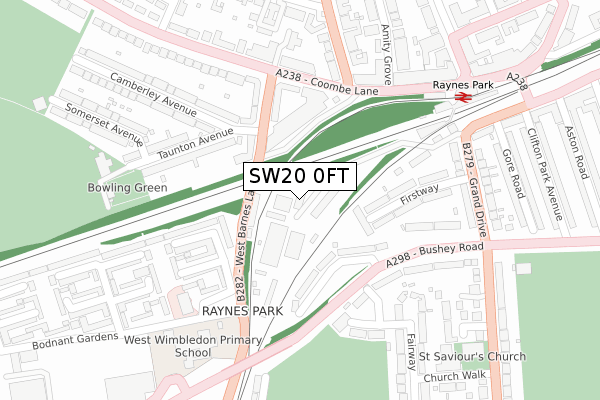
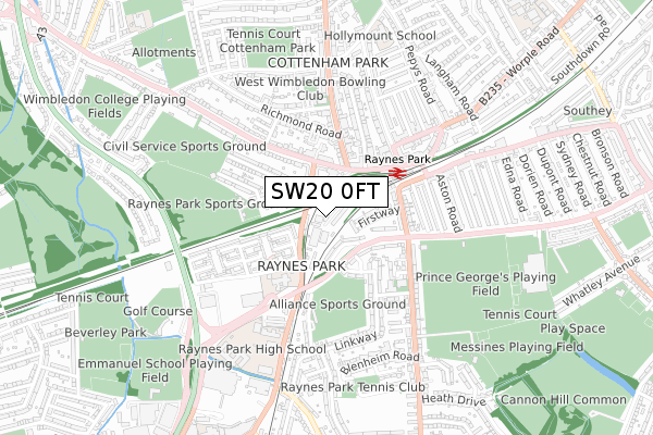
SW20 0FT is located in the Raynes Park electoral ward, within the London borough of Merton and the English Parliamentary constituency of Wimbledon. The Sub Integrated Care Board (ICB) Location is NHS South West London ICB - 36L and the police force is Metropolitan Police. This postcode has been in use since December 2019.


GetTheData
Source: OS Open Zoomstack (Ordnance Survey)
Licence: Open Government Licence (requires attribution)
Attribution: Contains OS data © Crown copyright and database right 2025
Source: Open Postcode Geo
Licence: Open Government Licence (requires attribution)
Attribution: Contains OS data © Crown copyright and database right 2025; Contains Royal Mail data © Royal Mail copyright and database right 2025; Source: Office for National Statistics licensed under the Open Government Licence v.3.0
| Easting | 522972 |
| Northing | 169120 |
| Latitude | 51.407780 |
| Longitude | -0.233315 |
GetTheData
Source: Open Postcode Geo
Licence: Open Government Licence
| Country | England |
| Postcode District | SW20 |
➜ See where SW20 is on a map ➜ Where is London? | |
GetTheData
Source: Land Registry Price Paid Data
Licence: Open Government Licence
| Ward | Raynes Park |
| Constituency | Wimbledon |
GetTheData
Source: ONS Postcode Database
Licence: Open Government Licence
| Farnham Gardens | Cottenham Park | 140m |
| Farnham Gardens (West Barnes Lane) | Cottenham Park | 159m |
| Durham Road (Sw20) (Coombe Lane) | Cottenham Park | 188m |
| Bushey Road Grand Drive | Raynes Park | 189m |
| Bushey Road Grand Drive (Bushey Road) | Raynes Park | 213m |
| Raynes Park Station | 0.3km |
| Wimbledon Chase Station | 1.4km |
| Motspur Park Station | 1.5km |
GetTheData
Source: NaPTAN
Licence: Open Government Licence
GetTheData
Source: ONS Postcode Database
Licence: Open Government Licence


➜ Get more ratings from the Food Standards Agency
GetTheData
Source: Food Standards Agency
Licence: FSA terms & conditions
| Last Collection | |||
|---|---|---|---|
| Location | Mon-Fri | Sat | Distance |
| Taunton Avenue | 16:00 | 12:00 | 192m |
| 1 Raynes Park | 17:30 | 12:00 | 206m |
| 129 Bushey Road | 16:00 | 12:00 | 263m |
GetTheData
Source: Dracos
Licence: Creative Commons Attribution-ShareAlike
The below table lists the International Territorial Level (ITL) codes (formerly Nomenclature of Territorial Units for Statistics (NUTS) codes) and Local Administrative Units (LAU) codes for SW20 0FT:
| ITL 1 Code | Name |
|---|---|
| TLI | London |
| ITL 2 Code | Name |
| TLI6 | Outer London - South |
| ITL 3 Code | Name |
| TLI63 | Merton, Kingston upon Thames and Sutton |
| LAU 1 Code | Name |
| E09000024 | Merton |
GetTheData
Source: ONS Postcode Directory
Licence: Open Government Licence
The below table lists the Census Output Area (OA), Lower Layer Super Output Area (LSOA), and Middle Layer Super Output Area (MSOA) for SW20 0FT:
| Code | Name | |
|---|---|---|
| OA | E00017436 | |
| LSOA | E01003446 | Merton 016C |
| MSOA | E02000704 | Merton 016 |
GetTheData
Source: ONS Postcode Directory
Licence: Open Government Licence
| SW20 0JF | Bushey Road | 96m |
| SW20 0JG | Bushey Road | 125m |
| SW20 0BP | West Barnes Lane | 127m |
| SW20 0JD | Firstway | 130m |
| SW20 0BN | West Barnes Lane | 139m |
| SW20 0BS | Coombe Lane | 139m |
| SW20 0BW | Coombe Lane | 139m |
| SW20 0BL | West Barnes Lane | 152m |
| SW20 0AT | Bluebird Close | 175m |
| SW20 0JN | Bushey Road | 191m |
GetTheData
Source: Open Postcode Geo; Land Registry Price Paid Data
Licence: Open Government Licence