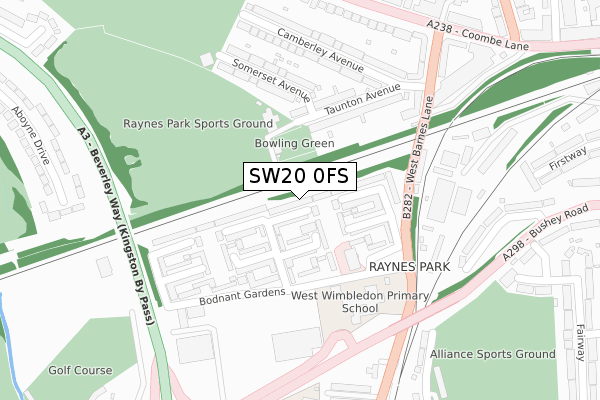
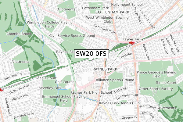
SW20 0FS is located in the Village electoral ward, within the London borough of Merton and the English Parliamentary constituency of Wimbledon. The Sub Integrated Care Board (ICB) Location is NHS South West London ICB - 36L and the police force is Metropolitan Police. This postcode has been in use since October 2019.


GetTheData
Source: OS Open Zoomstack (Ordnance Survey)
Licence: Open Government Licence (requires attribution)
Attribution: Contains OS data © Crown copyright and database right 2025
Source: Open Postcode Geo
Licence: Open Government Licence (requires attribution)
Attribution: Contains OS data © Crown copyright and database right 2025; Contains Royal Mail data © Royal Mail copyright and database right 2025; Source: Office for National Statistics licensed under the Open Government Licence v.3.0
| Easting | 522580 |
| Northing | 170175 |
| Latitude | 51.417347 |
| Longitude | -0.238584 |
GetTheData
Source: Open Postcode Geo
Licence: Open Government Licence
| Country | England |
| Postcode District | SW20 |
➜ See where SW20 is on a map ➜ Where is London? | |
GetTheData
Source: Land Registry Price Paid Data
Licence: Open Government Licence
| Ward | Village |
| Constituency | Wimbledon |
GetTheData
Source: ONS Postcode Database
Licence: Open Government Licence
| Atkinson Close Copse Hill | Copse Hill | 120m |
| Orchard Lane (Durham Road) | Copse Hill | 389m |
| High Cedar Drive | Copse Hill | 400m |
| Orchard Lane (Durham Road) | Copse Hill | 405m |
| Pepys Road (Cottenham Park Road) | Copse Hill | 527m |
| Raynes Park Station | 1.1km |
| New Malden Station | 1.9km |
| Wimbledon Chase Station | 1.9km |
GetTheData
Source: NaPTAN
Licence: Open Government Licence
GetTheData
Source: ONS Postcode Database
Licence: Open Government Licence


➜ Get more ratings from the Food Standards Agency
GetTheData
Source: Food Standards Agency
Licence: FSA terms & conditions
| Last Collection | |||
|---|---|---|---|
| Location | Mon-Fri | Sat | Distance |
| Copse Hill | 16:00 | 12:00 | 182m |
| 34 Drax Avenue | 16:00 | 12:00 | 331m |
| Oakwood Road | 16:00 | 12:00 | 364m |
GetTheData
Source: Dracos
Licence: Creative Commons Attribution-ShareAlike
The below table lists the International Territorial Level (ITL) codes (formerly Nomenclature of Territorial Units for Statistics (NUTS) codes) and Local Administrative Units (LAU) codes for SW20 0FS:
| ITL 1 Code | Name |
|---|---|
| TLI | London |
| ITL 2 Code | Name |
| TLI6 | Outer London - South |
| ITL 3 Code | Name |
| TLI63 | Merton, Kingston upon Thames and Sutton |
| LAU 1 Code | Name |
| E09000024 | Merton |
GetTheData
Source: ONS Postcode Directory
Licence: Open Government Licence
The below table lists the Census Output Area (OA), Lower Layer Super Output Area (LSOA), and Middle Layer Super Output Area (MSOA) for SW20 0FS:
| Code | Name | |
|---|---|---|
| OA | E00017520 | |
| LSOA | E01003463 | Merton 010E |
| MSOA | E02000698 | Merton 010 |
GetTheData
Source: ONS Postcode Directory
Licence: Open Government Licence
| SW20 0AF | Atkinson Close | 135m |
| SW20 0NN | Copse Hill | 136m |
| SW20 0EF | Copse Hill | 147m |
| SW20 0ED | Catherine Villas | 177m |
| SW20 0SZ | Cottenham Park Road | 195m |
| SW20 0JP | Prospect Place | 200m |
| SW20 0EB | Thurstan Road | 204m |
| SW20 0EA | Marguerite Villas | 208m |
| SW20 0DP | Cranford Close | 213m |
| SW20 0EG | Drax Avenue | 225m |
GetTheData
Source: Open Postcode Geo; Land Registry Price Paid Data
Licence: Open Government Licence