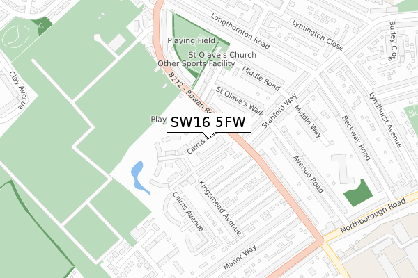
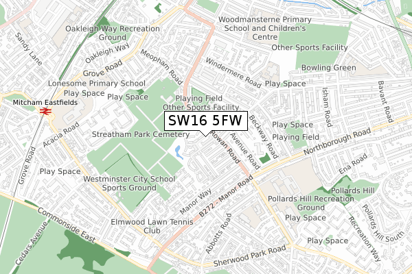
SW16 5FW is located in the Longthornton electoral ward, within the London borough of Merton and the English Parliamentary constituency of Mitcham and Morden. The Sub Integrated Care Board (ICB) Location is NHS South West London ICB - 36L and the police force is Metropolitan Police. This postcode has been in use since August 2019.


GetTheData
Source: OS Open Zoomstack (Ordnance Survey)
Licence: Open Government Licence (requires attribution)
Attribution: Contains OS data © Crown copyright and database right 2025
Source: Open Postcode Geo
Licence: Open Government Licence (requires attribution)
Attribution: Contains OS data © Crown copyright and database right 2025; Contains Royal Mail data © Royal Mail copyright and database right 2025; Source: Office for National Statistics licensed under the Open Government Licence v.3.0
| Easting | 529428 |
| Northing | 169101 |
| Latitude | 51.406175 |
| Longitude | -0.140549 |
GetTheData
Source: Open Postcode Geo
Licence: Open Government Licence
| Country | England |
| Postcode District | SW16 |
➜ See where SW16 is on a map ➜ Where is London? | |
GetTheData
Source: Land Registry Price Paid Data
Licence: Open Government Licence
| Ward | Longthornton |
| Constituency | Mitcham And Morden |
GetTheData
Source: ONS Postcode Database
Licence: Open Government Licence
| Stanford Way | Streatham Vale | 60m |
| Rosemead Avenue Streatham Vale (Rowan Road) | Streatham Vale | 112m |
| St Olaves Walk (Stanford Way) | Streatham Vale | 122m |
| Longthornton Road (Stanford Way) | Streatham Vale | 280m |
| Streatham Park Cemetery (Rowan Road) | Streatham Vale | 280m |
| Mitcham Eastfields Station | 1km |
| Norbury Station | 1.4km |
| Streatham Common Station | 1.4km |
GetTheData
Source: NaPTAN
Licence: Open Government Licence
GetTheData
Source: ONS Postcode Database
Licence: Open Government Licence


➜ Get more ratings from the Food Standards Agency
GetTheData
Source: Food Standards Agency
Licence: FSA terms & conditions
| Last Collection | |||
|---|---|---|---|
| Location | Mon-Fri | Sat | Distance |
| Beckway Road | 17:30 | 12:00 | 297m |
| 305 Northborough Road | 17:30 | 12:00 | 365m |
| Rowan Road | 17:30 | 12:00 | 457m |
GetTheData
Source: Dracos
Licence: Creative Commons Attribution-ShareAlike
The below table lists the International Territorial Level (ITL) codes (formerly Nomenclature of Territorial Units for Statistics (NUTS) codes) and Local Administrative Units (LAU) codes for SW16 5FW:
| ITL 1 Code | Name |
|---|---|
| TLI | London |
| ITL 2 Code | Name |
| TLI6 | Outer London - South |
| ITL 3 Code | Name |
| TLI63 | Merton, Kingston upon Thames and Sutton |
| LAU 1 Code | Name |
| E09000024 | Merton |
GetTheData
Source: ONS Postcode Directory
Licence: Open Government Licence
The below table lists the Census Output Area (OA), Lower Layer Super Output Area (LSOA), and Middle Layer Super Output Area (MSOA) for SW16 5FW:
| Code | Name | |
|---|---|---|
| OA | E00017292 | |
| LSOA | E01003415 | Merton 017C |
| MSOA | E02000705 | Merton 017 |
GetTheData
Source: ONS Postcode Directory
Licence: Open Government Licence
| SW16 5BU | Jack Dimmer Close | 26m |
| SW16 5FQ | Rowan Road | 42m |
| SW16 5FR | Tomblin Mews | 57m |
| SW16 5BT | Jack Dimmer Close | 57m |
| SW16 5JJ | Rowan Road | 65m |
| SW16 5FS | Cairns Place | 75m |
| CR4 1EZ | Rosemead Avenue | 93m |
| SW16 4HQ | Stanford Way | 106m |
| SW16 5FP | Jolly Mews | 124m |
| SW16 4HH | Stanford Way | 124m |
GetTheData
Source: Open Postcode Geo; Land Registry Price Paid Data
Licence: Open Government Licence