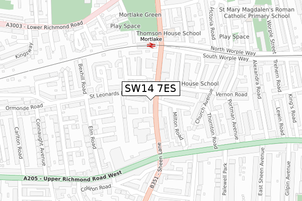
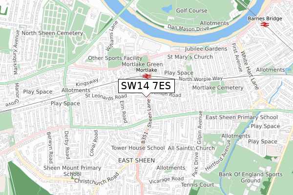
SW14 7ES is located in the East Sheen electoral ward, within the London borough of Richmond upon Thames and the English Parliamentary constituency of Richmond Park. The Sub Integrated Care Board (ICB) Location is NHS South West London ICB - 36L and the police force is Metropolitan Police. This postcode has been in use since January 2020.


GetTheData
Source: OS Open Zoomstack (Ordnance Survey)
Licence: Open Government Licence (requires attribution)
Attribution: Contains OS data © Crown copyright and database right 2025
Source: Open Postcode Geo
Licence: Open Government Licence (requires attribution)
Attribution: Contains OS data © Crown copyright and database right 2025; Contains Royal Mail data © Royal Mail copyright and database right 2025; Source: Office for National Statistics licensed under the Open Government Licence v.3.0
| Easting | 520468 |
| Northing | 175585 |
| Latitude | 51.466422 |
| Longitude | -0.267102 |
GetTheData
Source: Open Postcode Geo
Licence: Open Government Licence
| Country | England |
| Postcode District | SW14 |
➜ See where SW14 is on a map ➜ Where is London? | |
GetTheData
Source: Land Registry Price Paid Data
Licence: Open Government Licence
| Ward | East Sheen |
| Constituency | Richmond Park |
GetTheData
Source: ONS Postcode Database
Licence: Open Government Licence
| Sheen Pig & Whistle (Sheen Lane) | East Sheen | 127m |
| Sheen Pig & Whistle (Sheen Lane) | East Sheen | 140m |
| Richmond Park Road | East Sheen | 214m |
| East Sheen (Upper Richmond Road West) | East Sheen | 223m |
| East Sheen (Upper Richmond Road West) | East Sheen | 244m |
| Kew Gardens Underground Station | Kew Gardens | 1,727m |
| Mortlake Station | 0.2km |
| Barnes Bridge Station | 1.2km |
| North Sheen Station | 1.4km |
GetTheData
Source: NaPTAN
Licence: Open Government Licence
GetTheData
Source: ONS Postcode Database
Licence: Open Government Licence


➜ Get more ratings from the Food Standards Agency
GetTheData
Source: Food Standards Agency
Licence: FSA terms & conditions
| Last Collection | |||
|---|---|---|---|
| Location | Mon-Fri | Sat | Distance |
| 77 Sheen Lane | 17:30 | 12:00 | 25m |
| Mortlake Railway Station | 17:30 | 12:00 | 164m |
| Post Office | 18:00 | 12:00 | 196m |
GetTheData
Source: Dracos
Licence: Creative Commons Attribution-ShareAlike
The below table lists the International Territorial Level (ITL) codes (formerly Nomenclature of Territorial Units for Statistics (NUTS) codes) and Local Administrative Units (LAU) codes for SW14 7ES:
| ITL 1 Code | Name |
|---|---|
| TLI | London |
| ITL 2 Code | Name |
| TLI7 | Outer London - West and North West |
| ITL 3 Code | Name |
| TLI75 | Hounslow and Richmond upon Thames |
| LAU 1 Code | Name |
| E09000027 | Richmond upon Thames |
GetTheData
Source: ONS Postcode Directory
Licence: Open Government Licence
The below table lists the Census Output Area (OA), Lower Layer Super Output Area (LSOA), and Middle Layer Super Output Area (MSOA) for SW14 7ES:
| Code | Name | |
|---|---|---|
| OA | E00019126 | |
| LSOA | E01003807 | Richmond upon Thames 005B |
| MSOA | E02000788 | Richmond upon Thames 005 |
GetTheData
Source: ONS Postcode Directory
Licence: Open Government Licence
| SW14 8AD | Sheen Lane | 42m |
| SW14 8LW | Sheen Lane | 59m |
| SW14 7LX | St Leonards Road | 62m |
| SW14 8LP | Sheen Lane | 64m |
| SW14 8LH | Magna Square | 64m |
| SW14 7LY | St Leonards Road | 81m |
| SW14 8AE | Sheen Lane | 97m |
| SW14 8JP | Milton Road | 103m |
| SW14 7PH | Model Cottages | 104m |
| SW14 7LU | Little St Leonards | 114m |
GetTheData
Source: Open Postcode Geo; Land Registry Price Paid Data
Licence: Open Government Licence