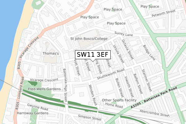
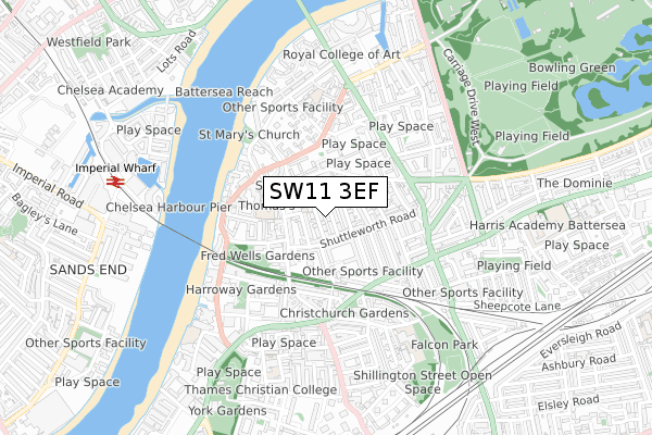
SW11 3EF is located in the St Mary's electoral ward, within the London borough of Wandsworth and the English Parliamentary constituency of Battersea. The Sub Integrated Care Board (ICB) Location is NHS South West London ICB - 36L and the police force is Metropolitan Police. This postcode has been in use since September 2019.


GetTheData
Source: OS Open Zoomstack (Ordnance Survey)
Licence: Open Government Licence (requires attribution)
Attribution: Contains OS data © Crown copyright and database right 2025
Source: Open Postcode Geo
Licence: Open Government Licence (requires attribution)
Attribution: Contains OS data © Crown copyright and database right 2025; Contains Royal Mail data © Royal Mail copyright and database right 2025; Source: Office for National Statistics licensed under the Open Government Licence v.3.0
| Easting | 526983 |
| Northing | 176343 |
| Latitude | 51.471812 |
| Longitude | -0.173088 |
GetTheData
Source: Open Postcode Geo
Licence: Open Government Licence
| Country | England |
| Postcode District | SW11 |
➜ See where SW11 is on a map ➜ Where is London? | |
GetTheData
Source: Land Registry Price Paid Data
Licence: Open Government Licence
| Ward | St Mary's |
| Constituency | Battersea |
GetTheData
Source: ONS Postcode Database
Licence: Open Government Licence
| Battersea High St Clapham Jct | Clapham Junction | 198m |
| Badric Court | Clapham Junction | 231m |
| Badric Court | Clapham Junction | 231m |
| Battersea High St Clapham Jct | Clapham Junction | 233m |
| Bullen Street | Clapham Junction | 272m |
| Imperial Wharf Station | 0.8km |
| Clapham Junction Station | 0.9km |
| Wandsworth Town Station | 1.6km |
GetTheData
Source: NaPTAN
Licence: Open Government Licence
GetTheData
Source: ONS Postcode Database
Licence: Open Government Licence


➜ Get more ratings from the Food Standards Agency
GetTheData
Source: Food Standards Agency
Licence: FSA terms & conditions
| Last Collection | |||
|---|---|---|---|
| Location | Mon-Fri | Sat | Distance |
| Post Office | 17:30 | 12:00 | 234m |
| 75 Shuttleworth Road | 17:30 | 12:00 | 280m |
| 70 York Road | 17:30 | 12:00 | 288m |
GetTheData
Source: Dracos
Licence: Creative Commons Attribution-ShareAlike
| Risk of SW11 3EF flooding from rivers and sea | Very Low |
| ➜ SW11 3EF flood map | |
GetTheData
Source: Open Flood Risk by Postcode
Licence: Open Government Licence
The below table lists the International Territorial Level (ITL) codes (formerly Nomenclature of Territorial Units for Statistics (NUTS) codes) and Local Administrative Units (LAU) codes for SW11 3EF:
| ITL 1 Code | Name |
|---|---|
| TLI | London |
| ITL 2 Code | Name |
| TLI3 | Inner London - West |
| ITL 3 Code | Name |
| TLI34 | Wandsworth |
| LAU 1 Code | Name |
| E09000032 | Wandsworth |
GetTheData
Source: ONS Postcode Directory
Licence: Open Government Licence
The below table lists the Census Output Area (OA), Lower Layer Super Output Area (LSOA), and Middle Layer Super Output Area (MSOA) for SW11 3EF:
| Code | Name | |
|---|---|---|
| OA | E00023045 | |
| LSOA | E01004580 | Wandsworth 004C |
| MSOA | E02000926 | Wandsworth 004 |
GetTheData
Source: ONS Postcode Directory
Licence: Open Government Licence
| SW11 3HY | Battersea High Street | 28m |
| SW11 3JW | Battersea High Street | 59m |
| SW11 3DZ | Shuttleworth Road | 66m |
| SW11 3HP | Battersea High Street | 80m |
| SW11 3DY | Shuttleworth Road | 86m |
| SW11 3LR | Orville Road | 91m |
| SW11 3HN | Simpson Street | 101m |
| SW11 3HD | Winders Road | 104m |
| SW11 3GJ | Gwynne Road | 108m |
| SW11 3HS | Battersea High Street | 114m |
GetTheData
Source: Open Postcode Geo; Land Registry Price Paid Data
Licence: Open Government Licence