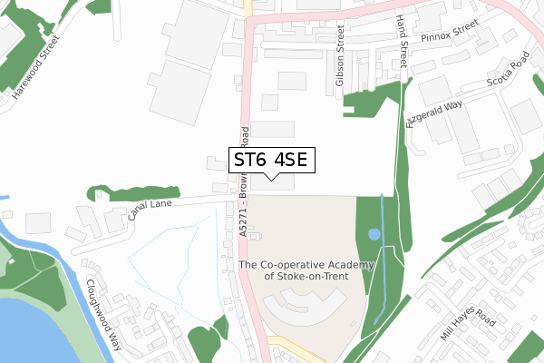
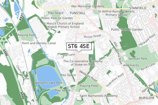
ST6 4SE is located in the Little Chell & Stanfield electoral ward, within the unitary authority of Stoke-on-Trent and the English Parliamentary constituency of Stoke-on-Trent North. The Sub Integrated Care Board (ICB) Location is NHS Staffordshire and Stoke-on-Trent ICB - 05W and the police force is Staffordshire. This postcode has been in use since June 2018.


GetTheData
Source: OS Open Zoomstack (Ordnance Survey)
Licence: Open Government Licence (requires attribution)
Attribution: Contains OS data © Crown copyright and database right 2025
Source: Open Postcode Geo
Licence: Open Government Licence (requires attribution)
Attribution: Contains OS data © Crown copyright and database right 2025; Contains Royal Mail data © Royal Mail copyright and database right 2025; Source: Office for National Statistics licensed under the Open Government Licence v.3.0
| Easting | 386031 |
| Northing | 350630 |
| Latitude | 53.052759 |
| Longitude | -2.209849 |
GetTheData
Source: Open Postcode Geo
Licence: Open Government Licence
| Country | England |
| Postcode District | ST6 |
➜ See where ST6 is on a map ➜ Where is Stoke-on-Trent? | |
GetTheData
Source: Land Registry Price Paid Data
Licence: Open Government Licence
| Ward | Little Chell & Stanfield |
| Constituency | Stoke-on-trent North |
GetTheData
Source: ONS Postcode Database
Licence: Open Government Licence
| Brownhills Business Park (Brownhills Road) | Brownhills | 48m |
| Brownhills Business Park (Brownhills Road) | Brownhills | 61m |
| Brownhills High School (Brownhills Road) | Brownhills | 191m |
| White Horse (Brownhills Road) | Tunstall | 196m |
| Brownhills High School (Brownhills Road) | Brownhills | 222m |
| Longport Station | 1.3km |
| Kidsgrove Station | 4.4km |
| Stoke-on-Trent Station | 5.3km |
GetTheData
Source: NaPTAN
Licence: Open Government Licence
GetTheData
Source: ONS Postcode Database
Licence: Open Government Licence


➜ Get more ratings from the Food Standards Agency
GetTheData
Source: Food Standards Agency
Licence: FSA terms & conditions
| Last Collection | |||
|---|---|---|---|
| Location | Mon-Fri | Sat | Distance |
| Browhills Road | 18:00 | 10:45 | 192m |
| Tunstall Post Office | 18:00 | 12:00 | 581m |
| Tower Square | 18:00 | 12:15 | 636m |
GetTheData
Source: Dracos
Licence: Creative Commons Attribution-ShareAlike
The below table lists the International Territorial Level (ITL) codes (formerly Nomenclature of Territorial Units for Statistics (NUTS) codes) and Local Administrative Units (LAU) codes for ST6 4SE:
| ITL 1 Code | Name |
|---|---|
| TLG | West Midlands (England) |
| ITL 2 Code | Name |
| TLG2 | Shropshire and Staffordshire |
| ITL 3 Code | Name |
| TLG23 | Stoke-on-Trent |
| LAU 1 Code | Name |
| E06000021 | Stoke-on-Trent |
GetTheData
Source: ONS Postcode Directory
Licence: Open Government Licence
The below table lists the Census Output Area (OA), Lower Layer Super Output Area (LSOA), and Middle Layer Super Output Area (MSOA) for ST6 4SE:
| Code | Name | |
|---|---|---|
| OA | E00072490 | |
| LSOA | E01014356 | Stoke-on-Trent 005C |
| MSOA | E02002955 | Stoke-on-Trent 005 |
GetTheData
Source: ONS Postcode Directory
Licence: Open Government Licence
| ST6 4RY | Brownhills Road | 108m |
| ST6 4LB | Brownhills Road | 179m |
| ST6 4JU | Brownhills Road | 199m |
| ST6 6AH | Pinnox Street | 236m |
| ST6 6AQ | Gibson Street | 238m |
| ST6 6AG | Railway Street | 262m |
| ST6 5TF | High Street | 271m |
| ST6 6AE | Hand Street | 319m |
| ST6 6AF | Pinnox Street | 325m |
| ST6 6AJ | Washington Street | 336m |
GetTheData
Source: Open Postcode Geo; Land Registry Price Paid Data
Licence: Open Government Licence