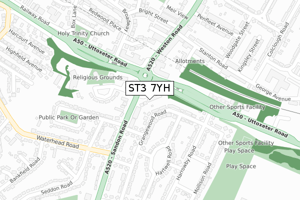
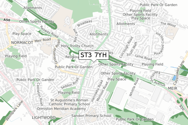
ST3 7YH is located in the Meir South electoral ward, within the unitary authority of Stoke-on-Trent and the English Parliamentary constituency of Stoke-on-Trent South. The Sub Integrated Care Board (ICB) Location is NHS Staffordshire and Stoke-on-Trent ICB - 05W and the police force is Staffordshire. This postcode has been in use since January 2019.


GetTheData
Source: OS Open Zoomstack (Ordnance Survey)
Licence: Open Government Licence (requires attribution)
Attribution: Contains OS data © Crown copyright and database right 2025
Source: Open Postcode Geo
Licence: Open Government Licence (requires attribution)
Attribution: Contains OS data © Crown copyright and database right 2025; Contains Royal Mail data © Royal Mail copyright and database right 2025; Source: Office for National Statistics licensed under the Open Government Licence v.3.0
| Easting | 393130 |
| Northing | 342192 |
| Latitude | 52.977049 |
| Longitude | -2.103759 |
GetTheData
Source: Open Postcode Geo
Licence: Open Government Licence
| Country | England |
| Postcode District | ST3 |
➜ See where ST3 is on a map ➜ Where is Stoke-on-Trent? | |
GetTheData
Source: Land Registry Price Paid Data
Licence: Open Government Licence
| Ward | Meir South |
| Constituency | Stoke-on-trent South |
GetTheData
Source: ONS Postcode Database
Licence: Open Government Licence
| Meir Youth Centre (Sandon Road) | Meir | 52m |
| Meir Youth Centre (Sandon Road) | Meir | 79m |
| Broadway (Uttoxeter Road) | Meir | 138m |
| Broadway (Uttoxeter Road) | Meir | 146m |
| Uttoxeter Road | Meir | 158m |
| Longton Station | 2.7km |
| Blythe Bridge Station | 2.7km |
| Wedgwood Station | 5.4km |
GetTheData
Source: NaPTAN
Licence: Open Government Licence
| Percentage of properties with Next Generation Access | 100.0% |
| Percentage of properties with Superfast Broadband | 100.0% |
| Percentage of properties with Ultrafast Broadband | 0.0% |
| Percentage of properties with Full Fibre Broadband | 0.0% |
Superfast Broadband is between 30Mbps and 300Mbps
Ultrafast Broadband is > 300Mbps
| Percentage of properties unable to receive 2Mbps | 0.0% |
| Percentage of properties unable to receive 5Mbps | 0.0% |
| Percentage of properties unable to receive 10Mbps | 0.0% |
| Percentage of properties unable to receive 30Mbps | 0.0% |
GetTheData
Source: Ofcom
Licence: Ofcom Terms of Use (requires attribution)
GetTheData
Source: ONS Postcode Database
Licence: Open Government Licence


➜ Get more ratings from the Food Standards Agency
GetTheData
Source: Food Standards Agency
Licence: FSA terms & conditions
| Last Collection | |||
|---|---|---|---|
| Location | Mon-Fri | Sat | Distance |
| Normacot Post Office | 17:00 | 12:00 | 1,465m |
| Lilleshall Street | 16:00 | 11:00 | 1,802m |
| Rough Close Post Office | 16:45 | 12:00 | 2,062m |
GetTheData
Source: Dracos
Licence: Creative Commons Attribution-ShareAlike
The below table lists the International Territorial Level (ITL) codes (formerly Nomenclature of Territorial Units for Statistics (NUTS) codes) and Local Administrative Units (LAU) codes for ST3 7YH:
| ITL 1 Code | Name |
|---|---|
| TLG | West Midlands (England) |
| ITL 2 Code | Name |
| TLG2 | Shropshire and Staffordshire |
| ITL 3 Code | Name |
| TLG23 | Stoke-on-Trent |
| LAU 1 Code | Name |
| E06000021 | Stoke-on-Trent |
GetTheData
Source: ONS Postcode Directory
Licence: Open Government Licence
The below table lists the Census Output Area (OA), Lower Layer Super Output Area (LSOA), and Middle Layer Super Output Area (MSOA) for ST3 7YH:
| Code | Name | |
|---|---|---|
| OA | E00072299 | |
| LSOA | E01014316 | Stoke-on-Trent 031C |
| MSOA | E02002981 | Stoke-on-Trent 031 |
GetTheData
Source: ONS Postcode Directory
Licence: Open Government Licence
| ST3 7DT | Sandon Road | 42m |
| ST3 7AE | Uttoxeter Road | 51m |
| ST3 7AZ | Grangewood Road | 77m |
| ST3 7DL | Sandon Road | 109m |
| ST3 7DJ | Sandon Road | 139m |
| ST3 7DW | Chatsworth Place | 140m |
| ST3 7BB | Hartwell Road | 154m |
| ST3 7DX | Pickford Place | 157m |
| ST3 6DE | Station View | 167m |
| ST3 6AB | Weston Road | 171m |
GetTheData
Source: Open Postcode Geo; Land Registry Price Paid Data
Licence: Open Government Licence