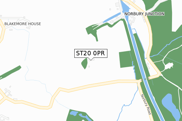
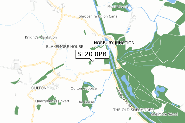
ST20 0PR is located in the Gnosall & Woodseaves electoral ward, within the local authority district of Stafford and the English Parliamentary constituency of Stone. The Sub Integrated Care Board (ICB) Location is NHS Staffordshire and Stoke-on-Trent ICB - 05V and the police force is Staffordshire. This postcode has been in use since September 2018.


GetTheData
Source: OS Open Zoomstack (Ordnance Survey)
Licence: Open Government Licence (requires attribution)
Attribution: Contains OS data © Crown copyright and database right 2025
Source: Open Postcode Geo
Licence: Open Government Licence (requires attribution)
Attribution: Contains OS data © Crown copyright and database right 2025; Contains Royal Mail data © Royal Mail copyright and database right 2025; Source: Office for National Statistics licensed under the Open Government Licence v.3.0
| Easting | 379168 |
| Northing | 322550 |
| Latitude | 52.800117 |
| Longitude | -2.310420 |
GetTheData
Source: Open Postcode Geo
Licence: Open Government Licence
| Country | England |
| Postcode District | ST20 |
➜ See where ST20 is on a map | |
GetTheData
Source: Land Registry Price Paid Data
Licence: Open Government Licence
| Ward | Gnosall & Woodseaves |
| Constituency | Stone |
GetTheData
Source: ONS Postcode Database
Licence: Open Government Licence
| Junction Inn Ph (Main Rd) | Norbury Junction | 370m |
| Junction Inn (Main Road) | Norbury Junction | 378m |
| Norbury Village Hall (Spring Leasows) | Norbury | 1,349m |
| Norbury Village Hall (Spring Leasows) | Norbury | 1,359m |
GetTheData
Source: NaPTAN
Licence: Open Government Licence
GetTheData
Source: ONS Postcode Database
Licence: Open Government Licence


➜ Get more ratings from the Food Standards Agency
GetTheData
Source: Food Standards Agency
Licence: FSA terms & conditions
| Last Collection | |||
|---|---|---|---|
| Location | Mon-Fri | Sat | Distance |
| Woodseaves Post Office | 16:30 | 10:45 | 2,962m |
| High Offley | 16:45 | 08:00 | 3,706m |
| Forton | 09:30 | 09:30 | 3,960m |
GetTheData
Source: Dracos
Licence: Creative Commons Attribution-ShareAlike
The below table lists the International Territorial Level (ITL) codes (formerly Nomenclature of Territorial Units for Statistics (NUTS) codes) and Local Administrative Units (LAU) codes for ST20 0PR:
| ITL 1 Code | Name |
|---|---|
| TLG | West Midlands (England) |
| ITL 2 Code | Name |
| TLG2 | Shropshire and Staffordshire |
| ITL 3 Code | Name |
| TLG24 | Staffordshire CC |
| LAU 1 Code | Name |
| E07000197 | Stafford |
GetTheData
Source: ONS Postcode Directory
Licence: Open Government Licence
The below table lists the Census Output Area (OA), Lower Layer Super Output Area (LSOA), and Middle Layer Super Output Area (MSOA) for ST20 0PR:
| Code | Name | |
|---|---|---|
| OA | E00151380 | |
| LSOA | E01029708 | Stafford 015D |
| MSOA | E02006202 | Stafford 015 |
GetTheData
Source: ONS Postcode Directory
Licence: Open Government Licence
| ST20 0PN | 400m | |
| ST20 0NL | Oulton Lane | 596m |
| ST20 0RL | Manor Drive | 805m |
| ST20 0PL | 880m | |
| ST20 0PE | High Meadow | 883m |
| ST20 0PG | 890m | |
| ST20 0PD | High Meadow | 942m |
| ST20 0PQ | St Peters Court | 1206m |
| ST20 0PB | 1209m | |
| TF10 8DF | Radmore Lane | 1322m |
GetTheData
Source: Open Postcode Geo; Land Registry Price Paid Data
Licence: Open Government Licence