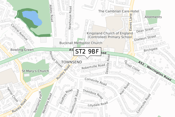
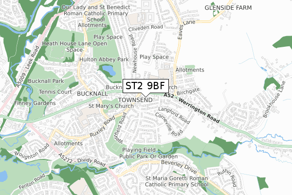
ST2 9BF is located in the Bentilee, Ubberley & Townsend electoral ward, within the unitary authority of Stoke-on-Trent and the English Parliamentary constituency of Stoke-on-Trent Central. The Sub Integrated Care Board (ICB) Location is NHS Staffordshire and Stoke-on-Trent ICB - 05W and the police force is Staffordshire. This postcode has been in use since August 2019.


GetTheData
Source: OS Open Zoomstack (Ordnance Survey)
Licence: Open Government Licence (requires attribution)
Attribution: Contains OS data © Crown copyright and database right 2025
Source: Open Postcode Geo
Licence: Open Government Licence (requires attribution)
Attribution: Contains OS data © Crown copyright and database right 2025; Contains Royal Mail data © Royal Mail copyright and database right 2025; Source: Office for National Statistics licensed under the Open Government Licence v.3.0
| Easting | 390881 |
| Northing | 347517 |
| Latitude | 53.024882 |
| Longitude | -2.137403 |
GetTheData
Source: Open Postcode Geo
Licence: Open Government Licence
| Country | England |
| Postcode District | ST2 |
➜ See where ST2 is on a map ➜ Where is Stoke-on-Trent? | |
GetTheData
Source: Land Registry Price Paid Data
Licence: Open Government Licence
| Ward | Bentilee, Ubberley & Townsend |
| Constituency | Stoke-on-trent Central |
GetTheData
Source: ONS Postcode Database
Licence: Open Government Licence
1, CAXTON GROVE, STOKE-ON-TRENT, ST2 9BF 2020 27 MAR £169,995 |
GetTheData
Source: HM Land Registry Price Paid Data
Licence: Contains HM Land Registry data © Crown copyright and database right 2025. This data is licensed under the Open Government Licence v3.0.
| Newhouse Road (Werrington Road) | Bucknall | 87m |
| Werrington Road (Newhouse Road) | Bucknall | 116m |
| Werrington Road (Newhouse Road) | Bucknall | 165m |
| Corneville Road | Bucknall | 212m |
| Corneville Road | Bucknall | 213m |
| Stoke-on-Trent Station | 3.5km |
| Longton Station | 3.9km |
GetTheData
Source: NaPTAN
Licence: Open Government Licence
GetTheData
Source: ONS Postcode Database
Licence: Open Government Licence


➜ Get more ratings from the Food Standards Agency
GetTheData
Source: Food Standards Agency
Licence: FSA terms & conditions
| Last Collection | |||
|---|---|---|---|
| Location | Mon-Fri | Sat | Distance |
| Wendling Close | 17:45 | 09:30 | 1,538m |
| Leek Road | 18:15 | 09:00 | 1,802m |
| Northwood Post Office | 17:30 | 11:45 | 2,050m |
GetTheData
Source: Dracos
Licence: Creative Commons Attribution-ShareAlike
The below table lists the International Territorial Level (ITL) codes (formerly Nomenclature of Territorial Units for Statistics (NUTS) codes) and Local Administrative Units (LAU) codes for ST2 9BF:
| ITL 1 Code | Name |
|---|---|
| TLG | West Midlands (England) |
| ITL 2 Code | Name |
| TLG2 | Shropshire and Staffordshire |
| ITL 3 Code | Name |
| TLG23 | Stoke-on-Trent |
| LAU 1 Code | Name |
| E06000021 | Stoke-on-Trent |
GetTheData
Source: ONS Postcode Directory
Licence: Open Government Licence
The below table lists the Census Output Area (OA), Lower Layer Super Output Area (LSOA), and Middle Layer Super Output Area (MSOA) for ST2 9BF:
| Code | Name | |
|---|---|---|
| OA | E00071796 | |
| LSOA | E01014218 | Stoke-on-Trent 014A |
| MSOA | E02002964 | Stoke-on-Trent 014 |
GetTheData
Source: ONS Postcode Directory
Licence: Open Government Licence
| ST2 9BA | Ruxley Road | 52m |
| ST2 9AU | Werrington Road | 62m |
| ST2 9HD | Robertville Road | 75m |
| ST2 9HE | Corneville Road | 94m |
| ST2 9AZ | Ruxley Road | 107m |
| ST2 9AS | Werrington Road | 118m |
| ST2 9BB | Guy Street | 120m |
| ST2 9AT | Chapel Street | 143m |
| ST2 9EW | Corneville Road | 146m |
| ST2 9HB | Deaville Road | 148m |
GetTheData
Source: Open Postcode Geo; Land Registry Price Paid Data
Licence: Open Government Licence