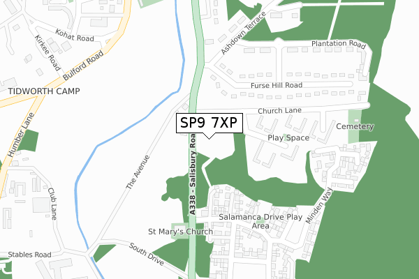
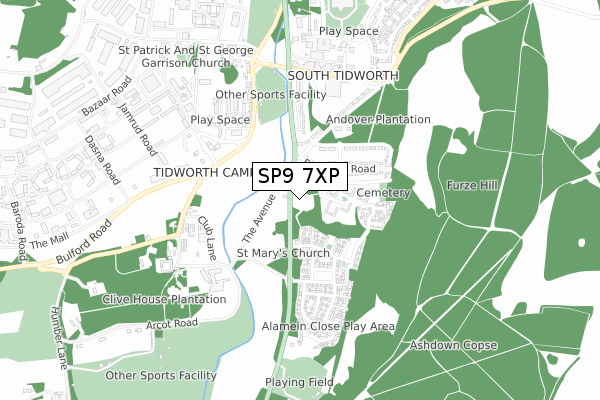
SP9 7XP is located in the Tidworth East & Ludgershall South electoral ward, within the unitary authority of Wiltshire and the English Parliamentary constituency of Devizes. The Sub Integrated Care Board (ICB) Location is NHS Bath and North East Somerset, Swindon and Wiltshire ICB - 92 and the police force is Wiltshire. This postcode has been in use since January 2020.


GetTheData
Source: OS Open Zoomstack (Ordnance Survey)
Licence: Open Government Licence (requires attribution)
Attribution: Contains OS data © Crown copyright and database right 2025
Source: Open Postcode Geo
Licence: Open Government Licence (requires attribution)
Attribution: Contains OS data © Crown copyright and database right 2025; Contains Royal Mail data © Royal Mail copyright and database right 2025; Source: Office for National Statistics licensed under the Open Government Licence v.3.0
| Easting | 423644 |
| Northing | 147907 |
| Latitude | 51.229862 |
| Longitude | -1.662749 |
GetTheData
Source: Open Postcode Geo
Licence: Open Government Licence
| Country | England |
| Postcode District | SP9 |
➜ See where SP9 is on a map ➜ Where is Tidworth? | |
GetTheData
Source: Land Registry Price Paid Data
Licence: Open Government Licence
| Ward | Tidworth East & Ludgershall South |
| Constituency | Devizes |
GetTheData
Source: ONS Postcode Database
Licence: Open Government Licence
| Rmp Station (Bulford Road) | Tidworth | 392m |
| Rmp Station (Bulford Road) | Tidworth | 432m |
| The Oval (Park Road) | Tidworth | 453m |
| The Oval (Park Road) | Tidworth | 458m |
| Tesco Superstore (Station Road) | Tidworth | 529m |
GetTheData
Source: NaPTAN
Licence: Open Government Licence
GetTheData
Source: ONS Postcode Database
Licence: Open Government Licence


➜ Get more ratings from the Food Standards Agency
GetTheData
Source: Food Standards Agency
Licence: FSA terms & conditions
| Last Collection | |||
|---|---|---|---|
| Location | Mon-Fri | Sat | Distance |
| Tidworth Delivery Office | 16:15 | 12:00 | 615m |
| Station Road | 17:00 | 12:00 | 620m |
| Ordnance Road | 16:00 | 09:00 | 920m |
GetTheData
Source: Dracos
Licence: Creative Commons Attribution-ShareAlike
The below table lists the International Territorial Level (ITL) codes (formerly Nomenclature of Territorial Units for Statistics (NUTS) codes) and Local Administrative Units (LAU) codes for SP9 7XP:
| ITL 1 Code | Name |
|---|---|
| TLK | South West (England) |
| ITL 2 Code | Name |
| TLK1 | Gloucestershire, Wiltshire and Bath/Bristol area |
| ITL 3 Code | Name |
| TLK15 | Wiltshire |
| LAU 1 Code | Name |
| E06000054 | Wiltshire |
GetTheData
Source: ONS Postcode Directory
Licence: Open Government Licence
The below table lists the Census Output Area (OA), Lower Layer Super Output Area (LSOA), and Middle Layer Super Output Area (MSOA) for SP9 7XP:
| Code | Name | |
|---|---|---|
| OA | E00166429 | |
| LSOA | E01031880 | Wiltshire 041E |
| MSOA | E02006643 | Wiltshire 041 |
GetTheData
Source: ONS Postcode Directory
Licence: Open Government Licence
| SP9 7SJ | Plantation Road | 311m |
| SP9 7RZ | Bulford Road | 406m |
| SP9 7SA | Bulford Road | 419m |
| SP9 7SB | The Oval | 439m |
| SP9 7SD | Bulford Road | 458m |
| SP9 7RY | Lady Godley Close | 486m |
| SP9 7SE | Bulford Road | 510m |
| SP9 7AW | Humber Lane | 533m |
| SP9 7NN | Station Road | 551m |
| SP9 7NZ | Station Road | 552m |
GetTheData
Source: Open Postcode Geo; Land Registry Price Paid Data
Licence: Open Government Licence