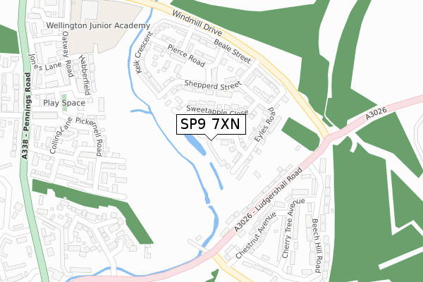
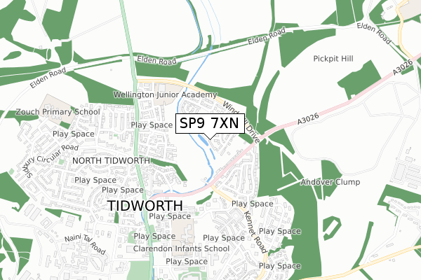
SP9 7XN is located in the Tidworth North & West electoral ward, within the unitary authority of Wiltshire and the English Parliamentary constituency of Devizes. The Sub Integrated Care Board (ICB) Location is NHS Bath and North East Somerset, Swindon and Wiltshire ICB - 92 and the police force is Wiltshire. This postcode has been in use since August 2019.


GetTheData
Source: OS Open Zoomstack (Ordnance Survey)
Licence: Open Government Licence (requires attribution)
Attribution: Contains OS data © Crown copyright and database right 2025
Source: Open Postcode Geo
Licence: Open Government Licence (requires attribution)
Attribution: Contains OS data © Crown copyright and database right 2025; Contains Royal Mail data © Royal Mail copyright and database right 2025; Source: Office for National Statistics licensed under the Open Government Licence v.3.0
| Easting | 423905 |
| Northing | 149581 |
| Latitude | 51.244903 |
| Longitude | -1.658900 |
GetTheData
Source: Open Postcode Geo
Licence: Open Government Licence
| Country | England |
| Postcode District | SP9 |
➜ See where SP9 is on a map ➜ Where is Tidworth? | |
GetTheData
Source: Land Registry Price Paid Data
Licence: Open Government Licence
| Ward | Tidworth North & West |
| Constituency | Devizes |
GetTheData
Source: ONS Postcode Database
Licence: Open Government Licence
26, SYMONS CLOSE, TIDWORTH, SP9 7XN 2019 18 OCT £322,995 |
22, SYMONS CLOSE, TIDWORTH, SP9 7XN 2019 2 AUG £309,995 |
24, SYMONS CLOSE, TIDWORTH, SP9 7XN 2019 28 JUN £282,995 |
GetTheData
Source: HM Land Registry Price Paid Data
Licence: Contains HM Land Registry data © Crown copyright and database right 2025. This data is licensed under the Open Government Licence v3.0.
| Beech Hill Road (Ludgershall Road) | Tidworth | 215m |
| Beech Hill Road (Ludgershall Road) | Tidworth | 218m |
| Kennet Road (Ludgershall Road) | Tidworth | 241m |
| Kennet Road (Ludgershall Road) | Tidworth | 252m |
| Chestnut Avenue (Kennet Road) | Tidworth | 285m |
GetTheData
Source: NaPTAN
Licence: Open Government Licence
GetTheData
Source: ONS Postcode Database
Licence: Open Government Licence


➜ Get more ratings from the Food Standards Agency
GetTheData
Source: Food Standards Agency
Licence: FSA terms & conditions
| Last Collection | |||
|---|---|---|---|
| Location | Mon-Fri | Sat | Distance |
| Ludgershall Road | 16:00 | 11:30 | 277m |
| Zouch Avenue | 16:45 | 08:45 | 510m |
| North Tidworth Post Office | 17:00 | 12:00 | 759m |
GetTheData
Source: Dracos
Licence: Creative Commons Attribution-ShareAlike
The below table lists the International Territorial Level (ITL) codes (formerly Nomenclature of Territorial Units for Statistics (NUTS) codes) and Local Administrative Units (LAU) codes for SP9 7XN:
| ITL 1 Code | Name |
|---|---|
| TLK | South West (England) |
| ITL 2 Code | Name |
| TLK1 | Gloucestershire, Wiltshire and Bath/Bristol area |
| ITL 3 Code | Name |
| TLK15 | Wiltshire |
| LAU 1 Code | Name |
| E06000054 | Wiltshire |
GetTheData
Source: ONS Postcode Directory
Licence: Open Government Licence
The below table lists the Census Output Area (OA), Lower Layer Super Output Area (LSOA), and Middle Layer Super Output Area (MSOA) for SP9 7XN:
| Code | Name | |
|---|---|---|
| OA | E00162597 | |
| LSOA | E01032698 | Wiltshire 041H |
| MSOA | E02006643 | Wiltshire 041 |
GetTheData
Source: ONS Postcode Directory
Licence: Open Government Licence
| SP9 7LX | Ludgershall Road | 175m |
| SP9 7LZ | Chaplins Terrace | 233m |
| SP9 7GR | Hedge Lane | 237m |
| SP9 7NA | Rowan Court | 264m |
| SP9 7FU | Pickernell Road | 276m |
| SP9 7NF | Cherrytree Avenue | 303m |
| SP9 7FY | Colling Lane | 325m |
| SP9 7FS | Habberfield | 325m |
| SP9 7NB | Beech Hill Road | 337m |
| SP9 7NG | Hawthorn Road | 342m |
GetTheData
Source: Open Postcode Geo; Land Registry Price Paid Data
Licence: Open Government Licence