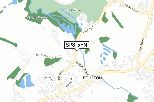
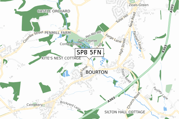
SP8 5FN is located in the Gillingham electoral ward, within the unitary authority of Dorset and the English Parliamentary constituency of North Dorset. The Sub Integrated Care Board (ICB) Location is NHS Dorset ICB - 11J and the police force is Dorset. This postcode has been in use since November 2018.


GetTheData
Source: OS Open Zoomstack (Ordnance Survey)
Licence: Open Government Licence (requires attribution)
Attribution: Contains OS data © Crown copyright and database right 2025
Source: Open Postcode Geo
Licence: Open Government Licence (requires attribution)
Attribution: Contains OS data © Crown copyright and database right 2025; Contains Royal Mail data © Royal Mail copyright and database right 2025; Source: Office for National Statistics licensed under the Open Government Licence v.3.0
| Easting | 377474 |
| Northing | 130961 |
| Latitude | 51.077519 |
| Longitude | -2.322922 |
GetTheData
Source: Open Postcode Geo
Licence: Open Government Licence
| Country | England |
| Postcode District | SP8 |
➜ See where SP8 is on a map ➜ Where is Bourton? | |
GetTheData
Source: Land Registry Price Paid Data
Licence: Open Government Licence
| Ward | Gillingham |
| Constituency | North Dorset |
GetTheData
Source: ONS Postcode Database
Licence: Open Government Licence
| Breach Close (Bourton Road) | Bourton | 289m |
| Breach Close (Bourton Road) | Bourton | 299m |
| White Lion Cross | Bourton | 436m |
| White Lion Cross | Bourton | 444m |
| Village Shop | Bourton | 654m |
| Gillingham (Dorset) Station | 6km |
GetTheData
Source: NaPTAN
Licence: Open Government Licence
| Percentage of properties with Next Generation Access | 100.0% |
| Percentage of properties with Superfast Broadband | 100.0% |
| Percentage of properties with Ultrafast Broadband | 100.0% |
| Percentage of properties with Full Fibre Broadband | 100.0% |
Superfast Broadband is between 30Mbps and 300Mbps
Ultrafast Broadband is > 300Mbps
| Percentage of properties unable to receive 2Mbps | 0.0% |
| Percentage of properties unable to receive 5Mbps | 0.0% |
| Percentage of properties unable to receive 10Mbps | 0.0% |
| Percentage of properties unable to receive 30Mbps | 0.0% |
GetTheData
Source: Ofcom
Licence: Ofcom Terms of Use (requires attribution)
GetTheData
Source: ONS Postcode Database
Licence: Open Government Licence


➜ Get more ratings from the Food Standards Agency
GetTheData
Source: Food Standards Agency
Licence: FSA terms & conditions
| Last Collection | |||
|---|---|---|---|
| Location | Mon-Fri | Sat | Distance |
| Zeals Post Office | 16:30 | 10:30 | 1,077m |
| White Cross | 12:00 | 09:00 | 1,112m |
| Longcross | 12:00 | 10:30 | 2,148m |
GetTheData
Source: Dracos
Licence: Creative Commons Attribution-ShareAlike
| Risk of SP8 5FN flooding from rivers and sea | High |
| ➜ SP8 5FN flood map | |
GetTheData
Source: Open Flood Risk by Postcode
Licence: Open Government Licence
The below table lists the International Territorial Level (ITL) codes (formerly Nomenclature of Territorial Units for Statistics (NUTS) codes) and Local Administrative Units (LAU) codes for SP8 5FN:
| ITL 1 Code | Name |
|---|---|
| TLK | South West (England) |
| ITL 2 Code | Name |
| TLK2 | Dorset and Somerset |
| ITL 3 Code | Name |
| TLK25 | Dorset |
| LAU 1 Code | Name |
| E06000059 | Dorset |
GetTheData
Source: ONS Postcode Directory
Licence: Open Government Licence
The below table lists the Census Output Area (OA), Lower Layer Super Output Area (LSOA), and Middle Layer Super Output Area (MSOA) for SP8 5FN:
| Code | Name | |
|---|---|---|
| OA | E00103583 | |
| LSOA | E01020440 | North Dorset 002A |
| MSOA | E02004256 | North Dorset 002 |
GetTheData
Source: ONS Postcode Directory
Licence: Open Government Licence
| SP8 5BA | Bridge Street | 139m |
| SP8 5DA | Mill Lane | 189m |
| SP8 5AY | 191m | |
| SP8 5DL | New Close | 194m |
| SP8 5AX | 212m | |
| SP8 5BE | Rose Cottages | 216m |
| SP8 5BD | 241m | |
| SP8 5DH | Mill Rise | 281m |
| SP8 5BG | Orchard Cottages | 289m |
| SP8 5DB | 308m |
GetTheData
Source: Open Postcode Geo; Land Registry Price Paid Data
Licence: Open Government Licence