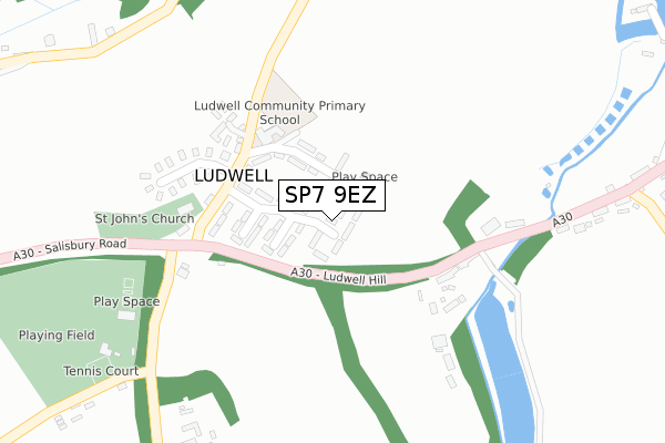
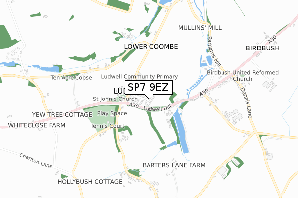
SP7 9EZ is located in the Gillingham electoral ward, within the unitary authority of Dorset and the English Parliamentary constituency of North Dorset. The Sub Integrated Care Board (ICB) Location is NHS Dorset ICB - 11J and the police force is Dorset. This postcode has been in use since November 2019.


GetTheData
Source: OS Open Zoomstack (Ordnance Survey)
Licence: Open Government Licence (requires attribution)
Attribution: Contains OS data © Crown copyright and database right 2025
Source: Open Postcode Geo
Licence: Open Government Licence (requires attribution)
Attribution: Contains OS data © Crown copyright and database right 2025; Contains Royal Mail data © Royal Mail copyright and database right 2025; Source: Office for National Statistics licensed under the Open Government Licence v.3.0
| Easting | 384738 |
| Northing | 125993 |
| Latitude | 51.033087 |
| Longitude | -2.219021 |
GetTheData
Source: Open Postcode Geo
Licence: Open Government Licence
| Country | England |
| Postcode District | SP7 |
➜ See where SP7 is on a map ➜ Where is Motcombe? | |
GetTheData
Source: Land Registry Price Paid Data
Licence: Open Government Licence
| Ward | Gillingham |
| Constituency | North Dorset |
GetTheData
Source: ONS Postcode Database
Licence: Open Government Licence
2024 15 JUL £505,000 |
5, MOTCOMBE MEADOW, THE STREET, MOTCOMBE, SHAFTESBURY, SP7 9EZ 2021 20 SEP £465,000 |
7, MOTCOMBE MEADOW, THE STREET, MOTCOMBE, SHAFTESBURY, SP7 9EZ 2021 7 JUN £435,000 |
2021 4 JUN £450,000 |
GetTheData
Source: HM Land Registry Price Paid Data
Licence: Contains HM Land Registry data © Crown copyright and database right 2025. This data is licensed under the Open Government Licence v3.0.
| Paddock Way (The Street) | Motcombe | 47m |
| Paddock Way (The Street) | Motcombe | 55m |
| Stainers Mead (The Street) | Elm Hill | 312m |
| Stainers Mead (The Street) | Elm Hill | 316m |
| Willow Way (The Street) | Motcombe | 356m |
| Gillingham (Dorset) Station | 3.8km |
GetTheData
Source: NaPTAN
Licence: Open Government Licence
GetTheData
Source: ONS Postcode Database
Licence: Open Government Licence

➜ Get more ratings from the Food Standards Agency
GetTheData
Source: Food Standards Agency
Licence: FSA terms & conditions
| Last Collection | |||
|---|---|---|---|
| Location | Mon-Fri | Sat | Distance |
| Motcombe Post Office | 17:00 | 09:45 | 288m |
| Milton On Stour Post Office | 17:00 | 11:00 | 2,692m |
| Long Cross | 17:45 | 11:45 | 2,803m |
GetTheData
Source: Dracos
Licence: Creative Commons Attribution-ShareAlike
The below table lists the International Territorial Level (ITL) codes (formerly Nomenclature of Territorial Units for Statistics (NUTS) codes) and Local Administrative Units (LAU) codes for SP7 9EZ:
| ITL 1 Code | Name |
|---|---|
| TLK | South West (England) |
| ITL 2 Code | Name |
| TLK2 | Dorset and Somerset |
| ITL 3 Code | Name |
| TLK25 | Dorset |
| LAU 1 Code | Name |
| E06000059 | Dorset |
GetTheData
Source: ONS Postcode Directory
Licence: Open Government Licence
The below table lists the Census Output Area (OA), Lower Layer Super Output Area (LSOA), and Middle Layer Super Output Area (MSOA) for SP7 9EZ:
| Code | Name | |
|---|---|---|
| OA | E00103654 | |
| LSOA | E01033158 | North Dorset 002F |
| MSOA | E02004256 | North Dorset 002 |
GetTheData
Source: ONS Postcode Directory
Licence: Open Government Licence
| SP7 9NW | Summer Oaks | 67m |
| SP7 9LU | 80m | |
| SP7 9PD | The Street | 103m |
| SP7 9NN | Prideaux Drive | 135m |
| SP7 9QN | Shorts Green Lane | 182m |
| SP7 9HJ | The Street | 194m |
| SP7 9NZ | Shorts Green Courtyard | 222m |
| SP7 9QH | Willow Way | 265m |
| SP7 9LF | Red House Close | 271m |
| SP7 9QF | Stainers Mead | 302m |
GetTheData
Source: Open Postcode Geo; Land Registry Price Paid Data
Licence: Open Government Licence