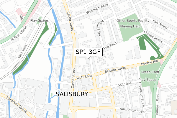
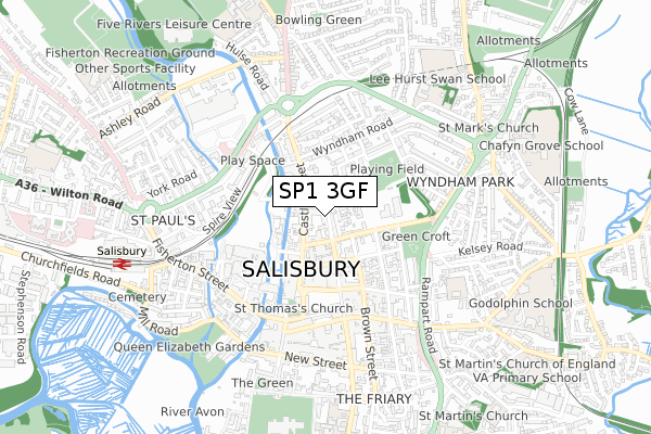
SP1 3GF is located in the Salisbury St Edmund's electoral ward, within the unitary authority of Wiltshire and the English Parliamentary constituency of Salisbury. The Sub Integrated Care Board (ICB) Location is NHS Bath and North East Somerset, Swindon and Wiltshire ICB - 92 and the police force is Wiltshire. This postcode has been in use since April 2020.


GetTheData
Source: OS Open Zoomstack (Ordnance Survey)
Licence: Open Government Licence (requires attribution)
Attribution: Contains OS data © Crown copyright and database right 2025
Source: Open Postcode Geo
Licence: Open Government Licence (requires attribution)
Attribution: Contains OS data © Crown copyright and database right 2025; Contains Royal Mail data © Royal Mail copyright and database right 2025; Source: Office for National Statistics licensed under the Open Government Licence v.3.0
| Easting | 414448 |
| Northing | 130330 |
| Latitude | 51.072113 |
| Longitude | -1.795152 |
GetTheData
Source: Open Postcode Geo
Licence: Open Government Licence
| Country | England |
| Postcode District | SP1 |
➜ See where SP1 is on a map ➜ Where is Salisbury? | |
GetTheData
Source: Land Registry Price Paid Data
Licence: Open Government Licence
| Ward | Salisbury St Edmund's |
| Constituency | Salisbury |
GetTheData
Source: ONS Postcode Database
Licence: Open Government Licence
| Friends Provident (Castle Street) | Salisbury | 68m |
| Sale Rooms (Castle Street) | Salisbury | 132m |
| Bus Garage (Castle Street) | Salisbury | 156m |
| Millstream Coach Park (Access Road) | Salisbury | 170m |
| Castle Street | Salisbury | 187m |
| Salisbury Station | 0.8km |
GetTheData
Source: NaPTAN
Licence: Open Government Licence
GetTheData
Source: ONS Postcode Database
Licence: Open Government Licence


➜ Get more ratings from the Food Standards Agency
GetTheData
Source: Food Standards Agency
Licence: FSA terms & conditions
| Last Collection | |||
|---|---|---|---|
| Location | Mon-Fri | Sat | Distance |
| Bella Vue Road | 18:30 | 12:00 | 148m |
| Castle Street | 18:30 | 12:00 | 154m |
| Salisbury Branch Office | 19:15 | 13:00 | 199m |
GetTheData
Source: Dracos
Licence: Creative Commons Attribution-ShareAlike
The below table lists the International Territorial Level (ITL) codes (formerly Nomenclature of Territorial Units for Statistics (NUTS) codes) and Local Administrative Units (LAU) codes for SP1 3GF:
| ITL 1 Code | Name |
|---|---|
| TLK | South West (England) |
| ITL 2 Code | Name |
| TLK1 | Gloucestershire, Wiltshire and Bath/Bristol area |
| ITL 3 Code | Name |
| TLK15 | Wiltshire |
| LAU 1 Code | Name |
| E06000054 | Wiltshire |
GetTheData
Source: ONS Postcode Directory
Licence: Open Government Licence
The below table lists the Census Output Area (OA), Lower Layer Super Output Area (LSOA), and Middle Layer Super Output Area (MSOA) for SP1 3GF:
| Code | Name | |
|---|---|---|
| OA | E00163296 | |
| LSOA | E01032014 | Wiltshire 056A |
| MSOA | E02006671 | Wiltshire 056 |
GetTheData
Source: ONS Postcode Directory
Licence: Open Government Licence
| SP1 3UH | Endless Street | 33m |
| SP1 3YF | Belle Vue Road | 79m |
| SP1 3TS | Castle Street | 83m |
| SP1 3SP | Castle Street | 92m |
| SP1 3SY | Castle Street | 109m |
| SP1 3SX | Ivy Place | 123m |
| SP1 3YG | Belle Vue Road | 125m |
| SP1 3FT | Scots Lane | 126m |
| SP1 3UT | Bedwin Street | 130m |
| SP1 3UE | Mill Stream Approach | 133m |
GetTheData
Source: Open Postcode Geo; Land Registry Price Paid Data
Licence: Open Government Licence