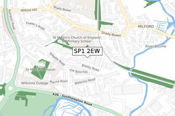
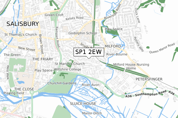
SP1 2EW is located in the Salisbury Milford electoral ward, within the unitary authority of Wiltshire and the English Parliamentary constituency of Salisbury. The Sub Integrated Care Board (ICB) Location is NHS Bath and North East Somerset, Swindon and Wiltshire ICB - 92 and the police force is Wiltshire. This postcode has been in use since August 2017.


GetTheData
Source: OS Open Zoomstack (Ordnance Survey)
Licence: Open Government Licence (requires attribution)
Attribution: Contains OS data © Crown copyright and database right 2025
Source: Open Postcode Geo
Licence: Open Government Licence (requires attribution)
Attribution: Contains OS data © Crown copyright and database right 2025; Contains Royal Mail data © Royal Mail copyright and database right 2025; Source: Office for National Statistics licensed under the Open Government Licence v.3.0
| Easting | 415292 |
| Northing | 129636 |
| Latitude | 51.065851 |
| Longitude | -1.783135 |
GetTheData
Source: Open Postcode Geo
Licence: Open Government Licence
| Country | England |
| Postcode District | SP1 |
➜ See where SP1 is on a map ➜ Where is Salisbury? | |
GetTheData
Source: Land Registry Price Paid Data
Licence: Open Government Licence
| Ward | Salisbury Milford |
| Constituency | Salisbury |
GetTheData
Source: ONS Postcode Database
Licence: Open Government Licence
| The Beeches (Tollgate Road) | Salisbury | 139m |
| The Beeches (Tollgate Road) | Salisbury | 144m |
| St Martins School (Shady Bower) | Salisbury | 168m |
| St Martins School (Shady Bower) | Salisbury | 174m |
| The Flats (Shady Bower) | Salisbury | 176m |
| Salisbury Station | 1.7km |
GetTheData
Source: NaPTAN
Licence: Open Government Licence
GetTheData
Source: ONS Postcode Database
Licence: Open Government Licence


➜ Get more ratings from the Food Standards Agency
GetTheData
Source: Food Standards Agency
Licence: FSA terms & conditions
| Last Collection | |||
|---|---|---|---|
| Location | Mon-Fri | Sat | Distance |
| Shady Bower | 17:30 | 12:00 | 172m |
| Tollgate Road | 17:30 | 12:00 | 210m |
| Marina Road | 17:30 | 12:00 | 234m |
GetTheData
Source: Dracos
Licence: Creative Commons Attribution-ShareAlike
The below table lists the International Territorial Level (ITL) codes (formerly Nomenclature of Territorial Units for Statistics (NUTS) codes) and Local Administrative Units (LAU) codes for SP1 2EW:
| ITL 1 Code | Name |
|---|---|
| TLK | South West (England) |
| ITL 2 Code | Name |
| TLK1 | Gloucestershire, Wiltshire and Bath/Bristol area |
| ITL 3 Code | Name |
| TLK15 | Wiltshire |
| LAU 1 Code | Name |
| E06000054 | Wiltshire |
GetTheData
Source: ONS Postcode Directory
Licence: Open Government Licence
The below table lists the Census Output Area (OA), Lower Layer Super Output Area (LSOA), and Middle Layer Super Output Area (MSOA) for SP1 2EW:
| Code | Name | |
|---|---|---|
| OA | E00163320 | |
| LSOA | E01032021 | Wiltshire 056D |
| MSOA | E02006671 | Wiltshire 056 |
GetTheData
Source: ONS Postcode Directory
Licence: Open Government Licence
| SP1 2LP | Barnack Business Park | 72m |
| SP1 2JH | The Beeches | 74m |
| SP1 2JL | Wellington Mews | 119m |
| SP1 2JX | Waterloo Road | 135m |
| SP1 2JP | Tollgate Road | 136m |
| SP1 2JJ | Tollgate Road | 142m |
| SP1 2JR | Waterloo Road | 148m |
| SP1 2ET | Avon Place | 155m |
| SP1 2RL | Bower Gardens | 177m |
| SP1 2JZ | Farley Road | 179m |
GetTheData
Source: Open Postcode Geo; Land Registry Price Paid Data
Licence: Open Government Licence