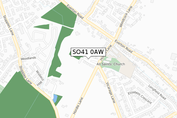
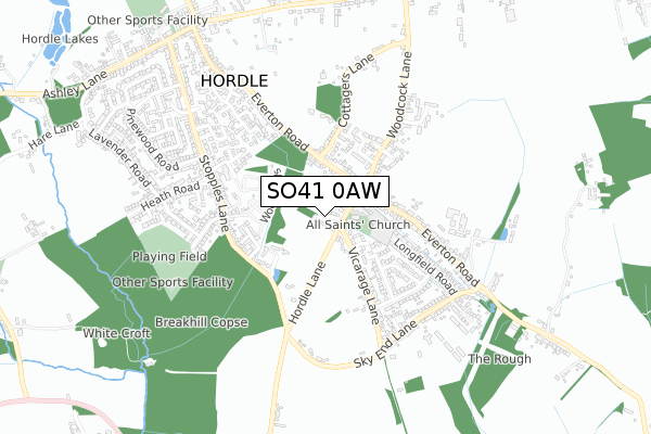
SO41 0AW is located in the Milford & Hordle electoral ward, within the local authority district of New Forest and the English Parliamentary constituency of New Forest West. The Sub Integrated Care Board (ICB) Location is NHS Hampshire and Isle of Wight ICB - D9Y0V and the police force is Hampshire. This postcode has been in use since May 2018.


GetTheData
Source: OS Open Zoomstack (Ordnance Survey)
Licence: Open Government Licence (requires attribution)
Attribution: Contains OS data © Crown copyright and database right 2025
Source: Open Postcode Geo
Licence: Open Government Licence (requires attribution)
Attribution: Contains OS data © Crown copyright and database right 2025; Contains Royal Mail data © Royal Mail copyright and database right 2025; Source: Office for National Statistics licensed under the Open Government Licence v.3.0
| Easting | 427258 |
| Northing | 95104 |
| Latitude | 50.754889 |
| Longitude | -1.614942 |
GetTheData
Source: Open Postcode Geo
Licence: Open Government Licence
| Country | England |
| Postcode District | SO41 |
➜ See where SO41 is on a map ➜ Where is Hordle? | |
GetTheData
Source: Land Registry Price Paid Data
Licence: Open Government Licence
| Ward | Milford & Hordle |
| Constituency | New Forest West |
GetTheData
Source: ONS Postcode Database
Licence: Open Government Licence
| Primary School (Everton Road) | Hordle | 231m |
| Primary School (Everton Road) | Hordle | 236m |
| Cottagers Lane (Everton Road) | Hordle | 358m |
| Cottagers Lane (Everton Road) | Hordle | 370m |
| Stopples Lane (Dudley Avenue) | Hordle | 425m |
| New Milton Station | 3km |
| Sway Station | 3.3km |
GetTheData
Source: NaPTAN
Licence: Open Government Licence
| Percentage of properties with Next Generation Access | 100.0% |
| Percentage of properties with Superfast Broadband | 100.0% |
| Percentage of properties with Ultrafast Broadband | 0.0% |
| Percentage of properties with Full Fibre Broadband | 0.0% |
Superfast Broadband is between 30Mbps and 300Mbps
Ultrafast Broadband is > 300Mbps
| Median download speed | 35.1Mbps |
| Average download speed | 31.1Mbps |
| Maximum download speed | 79.87Mbps |
| Median upload speed | 9.8Mbps |
| Average upload speed | 8.3Mbps |
| Maximum upload speed | 20.00Mbps |
| Percentage of properties unable to receive 2Mbps | 0.0% |
| Percentage of properties unable to receive 5Mbps | 0.0% |
| Percentage of properties unable to receive 10Mbps | 0.0% |
| Percentage of properties unable to receive 30Mbps | 0.0% |
GetTheData
Source: Ofcom
Licence: Ofcom Terms of Use (requires attribution)
GetTheData
Source: ONS Postcode Database
Licence: Open Government Licence


➜ Get more ratings from the Food Standards Agency
GetTheData
Source: Food Standards Agency
Licence: FSA terms & conditions
| Last Collection | |||
|---|---|---|---|
| Location | Mon-Fri | Sat | Distance |
| Arnewood Row | 17:15 | 09:00 | 237m |
| Pegusus Avenue | 17:00 | 09:00 | 404m |
| Stopples Lane | 17:00 | 09:00 | 532m |
GetTheData
Source: Dracos
Licence: Creative Commons Attribution-ShareAlike
The below table lists the International Territorial Level (ITL) codes (formerly Nomenclature of Territorial Units for Statistics (NUTS) codes) and Local Administrative Units (LAU) codes for SO41 0AW:
| ITL 1 Code | Name |
|---|---|
| TLJ | South East (England) |
| ITL 2 Code | Name |
| TLJ3 | Hampshire and Isle of Wight |
| ITL 3 Code | Name |
| TLJ36 | Central Hampshire |
| LAU 1 Code | Name |
| E07000091 | New Forest |
GetTheData
Source: ONS Postcode Directory
Licence: Open Government Licence
The below table lists the Census Output Area (OA), Lower Layer Super Output Area (LSOA), and Middle Layer Super Output Area (MSOA) for SO41 0AW:
| Code | Name | |
|---|---|---|
| OA | E00117054 | |
| LSOA | E01023034 | New Forest 018D |
| MSOA | E02004796 | New Forest 018 |
GetTheData
Source: ONS Postcode Directory
Licence: Open Government Licence
| SO41 0FB | Hordle Lane | 106m |
| SO41 0FZ | Heather Close | 134m |
| SO41 0XJ | Vicarage Gardens | 177m |
| SO41 0FD | Everton Road | 241m |
| SO41 0GZ | Turners Farm Crescent | 255m |
| SO41 0EW | Slade Close | 290m |
| SO41 0YQ | Wisbech Way | 303m |
| SO41 0FY | White Barn Crescent | 319m |
| SO41 0HS | Vicarage Lane | 326m |
| SO41 0FT | The Ostlers | 331m |
GetTheData
Source: Open Postcode Geo; Land Registry Price Paid Data
Licence: Open Government Licence