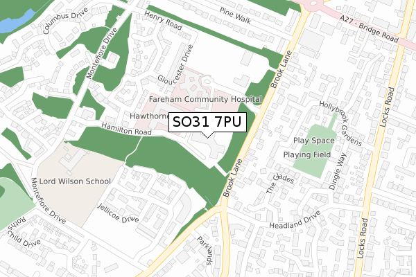
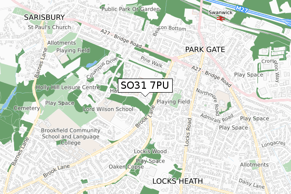
SO31 7PU is located in the Park Gate electoral ward, within the local authority district of Fareham and the English Parliamentary constituency of Fareham. The Sub Integrated Care Board (ICB) Location is NHS Hampshire and Isle of Wight ICB - D9Y0V and the police force is Hampshire. This postcode has been in use since October 2018.


GetTheData
Source: OS Open Zoomstack (Ordnance Survey)
Licence: Open Government Licence (requires attribution)
Attribution: Contains OS data © Crown copyright and database right 2025
Source: Open Postcode Geo
Licence: Open Government Licence (requires attribution)
Attribution: Contains OS data © Crown copyright and database right 2025; Contains Royal Mail data © Royal Mail copyright and database right 2025; Source: Office for National Statistics licensed under the Open Government Licence v.3.0
| Easting | 451109 |
| Northing | 108052 |
| Latitude | 50.869709 |
| Longitude | -1.275044 |
GetTheData
Source: Open Postcode Geo
Licence: Open Government Licence
| Country | England |
| Postcode District | SO31 |
➜ See where SO31 is on a map ➜ Where is Sarisbury? | |
GetTheData
Source: Land Registry Price Paid Data
Licence: Open Government Licence
| Ward | Park Gate |
| Constituency | Fareham |
GetTheData
Source: ONS Postcode Database
Licence: Open Government Licence
| Community Hospital (Unnamed Road) | Park Gate | 103m |
| Brookfield Community School (Brook Lane) | Locks Heath | 348m |
| Brook Lane (Bridge Road) | Park Gate | 385m |
| Brook Lane (Bridge Road) | Park Gate | 406m |
| Headland Drive (Locks Road) | Locks Heath | 417m |
| Swanwick Station | 0.9km |
| Bursledon Station | 2.6km |
| Hamble Station | 3.8km |
GetTheData
Source: NaPTAN
Licence: Open Government Licence
| Percentage of properties with Next Generation Access | 100.0% |
| Percentage of properties with Superfast Broadband | 100.0% |
| Percentage of properties with Ultrafast Broadband | 100.0% |
| Percentage of properties with Full Fibre Broadband | 100.0% |
Superfast Broadband is between 30Mbps and 300Mbps
Ultrafast Broadband is > 300Mbps
| Percentage of properties unable to receive 2Mbps | 0.0% |
| Percentage of properties unable to receive 5Mbps | 0.0% |
| Percentage of properties unable to receive 10Mbps | 0.0% |
| Percentage of properties unable to receive 30Mbps | 0.0% |
GetTheData
Source: Ofcom
Licence: Ofcom Terms of Use (requires attribution)
GetTheData
Source: ONS Postcode Database
Licence: Open Government Licence


➜ Get more ratings from the Food Standards Agency
GetTheData
Source: Food Standards Agency
Licence: FSA terms & conditions
| Last Collection | |||
|---|---|---|---|
| Location | Mon-Fri | Sat | Distance |
| Sarisbury Grn Delivery Office | 17:30 | 11:30 | 160m |
| Locks Road | 16:45 | 07:30 | 473m |
| Park Gate Post Office | 17:15 | 11:30 | 535m |
GetTheData
Source: Dracos
Licence: Creative Commons Attribution-ShareAlike
The below table lists the International Territorial Level (ITL) codes (formerly Nomenclature of Territorial Units for Statistics (NUTS) codes) and Local Administrative Units (LAU) codes for SO31 7PU:
| ITL 1 Code | Name |
|---|---|
| TLJ | South East (England) |
| ITL 2 Code | Name |
| TLJ3 | Hampshire and Isle of Wight |
| ITL 3 Code | Name |
| TLJ35 | South Hampshire |
| LAU 1 Code | Name |
| E07000087 | Fareham |
GetTheData
Source: ONS Postcode Directory
Licence: Open Government Licence
The below table lists the Census Output Area (OA), Lower Layer Super Output Area (LSOA), and Middle Layer Super Output Area (MSOA) for SO31 7PU:
| Code | Name | |
|---|---|---|
| OA | E00115660 | |
| LSOA | E01022754 | Fareham 002C |
| MSOA | E02004728 | Fareham 002 |
GetTheData
Source: ONS Postcode Directory
Licence: Open Government Licence
| SO31 7DP | Brook Lane | 107m |
| SO31 7NQ | Cecil Gardens | 144m |
| SO31 7NX | Jerram Place | 152m |
| SO31 7NY | Burney Place | 185m |
| SO31 6UX | The Glades | 191m |
| SO31 6UY | The Glades | 200m |
| SO31 6WJ | Hollybrook Gardens | 213m |
| SO31 7DQ | Brook Lane | 225m |
| SO31 6WR | Lockswood Keep | 227m |
| SO31 6WH | Hollybrook Gardens | 239m |
GetTheData
Source: Open Postcode Geo; Land Registry Price Paid Data
Licence: Open Government Licence