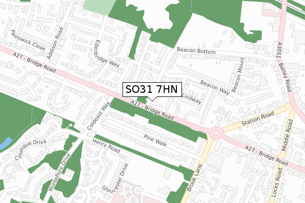
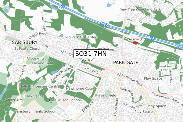
SO31 7HN is located in the Park Gate electoral ward, within the local authority district of Fareham and the English Parliamentary constituency of Fareham. The Sub Integrated Care Board (ICB) Location is NHS Hampshire and Isle of Wight ICB - D9Y0V and the police force is Hampshire. This postcode has been in use since October 2017.


GetTheData
Source: OS Open Zoomstack (Ordnance Survey)
Licence: Open Government Licence (requires attribution)
Attribution: Contains OS data © Crown copyright and database right 2025
Source: Open Postcode Geo
Licence: Open Government Licence (requires attribution)
Attribution: Contains OS data © Crown copyright and database right 2025; Contains Royal Mail data © Royal Mail copyright and database right 2025; Source: Office for National Statistics licensed under the Open Government Licence v.3.0
| Easting | 451153 |
| Northing | 108482 |
| Latitude | 50.873572 |
| Longitude | -1.274358 |
GetTheData
Source: Open Postcode Geo
Licence: Open Government Licence
| Country | England |
| Postcode District | SO31 |
➜ See where SO31 is on a map ➜ Where is Park Gate? | |
GetTheData
Source: Land Registry Price Paid Data
Licence: Open Government Licence
| Ward | Park Gate |
| Constituency | Fareham |
GetTheData
Source: ONS Postcode Database
Licence: Open Government Licence
| Brook Lane (Bridge Road) | Park Gate | 162m |
| Brook Lane (Bridge Road) | Park Gate | 195m |
| Cold East Way (Bridge Road) | Sarisbury | 199m |
| Cold East Way (Bridge Road) | Sarisbury | 243m |
| Community Hospital (Unnamed Road) | Park Gate | 341m |
| Swanwick Station | 0.6km |
| Bursledon Station | 2.4km |
| Hamble Station | 3.9km |
GetTheData
Source: NaPTAN
Licence: Open Government Licence
GetTheData
Source: ONS Postcode Database
Licence: Open Government Licence


➜ Get more ratings from the Food Standards Agency
GetTheData
Source: Food Standards Agency
Licence: FSA terms & conditions
| Last Collection | |||
|---|---|---|---|
| Location | Mon-Fri | Sat | Distance |
| Sarisbury Grn Delivery Office | 17:30 | 11:30 | 355m |
| Addison Road | 17:00 | 09:30 | 374m |
| Middle Road | 17:30 | 09:15 | 451m |
GetTheData
Source: Dracos
Licence: Creative Commons Attribution-ShareAlike
The below table lists the International Territorial Level (ITL) codes (formerly Nomenclature of Territorial Units for Statistics (NUTS) codes) and Local Administrative Units (LAU) codes for SO31 7HN:
| ITL 1 Code | Name |
|---|---|
| TLJ | South East (England) |
| ITL 2 Code | Name |
| TLJ3 | Hampshire and Isle of Wight |
| ITL 3 Code | Name |
| TLJ35 | South Hampshire |
| LAU 1 Code | Name |
| E07000087 | Fareham |
GetTheData
Source: ONS Postcode Directory
Licence: Open Government Licence
The below table lists the Census Output Area (OA), Lower Layer Super Output Area (LSOA), and Middle Layer Super Output Area (MSOA) for SO31 7HN:
| Code | Name | |
|---|---|---|
| OA | E00115668 | |
| LSOA | E01022758 | Fareham 001A |
| MSOA | E02004727 | Fareham 001 |
GetTheData
Source: ONS Postcode Directory
Licence: Open Government Licence
| SO31 7AU | Westbrook Close | 70m |
| SO31 7FX | Ironbridge Crescent | 85m |
| SO31 7DN | Pine Walk | 96m |
| SO31 7GR | Lind Way | 115m |
| SO31 7FZ | Stalybridge Close | 144m |
| SO31 7AW | Eastbrook Close | 151m |
| SO31 7LP | Uxbridge Close | 183m |
| SO31 7FY | Stalybridge Close | 193m |
| SO31 7GL | Beacon Way | 206m |
| SO31 7HL | Bridge Road | 208m |
GetTheData
Source: Open Postcode Geo; Land Registry Price Paid Data
Licence: Open Government Licence