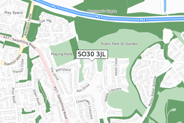
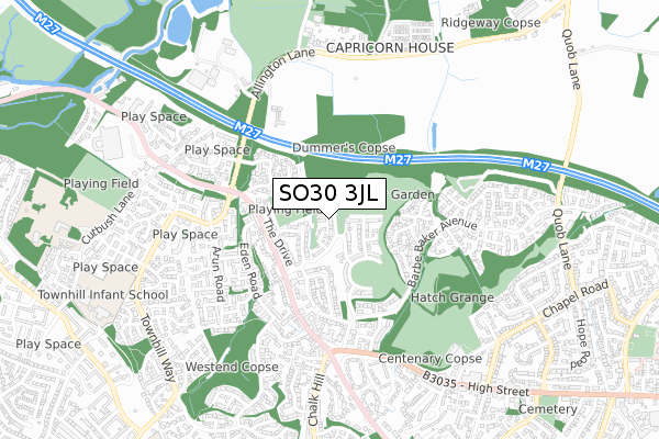
SO30 3JL is located in the West End North electoral ward, within the local authority district of Eastleigh and the English Parliamentary constituency of Eastleigh. The Sub Integrated Care Board (ICB) Location is NHS Hampshire and Isle of Wight ICB - D9Y0V and the police force is Hampshire. This postcode has been in use since August 2019.


GetTheData
Source: OS Open Zoomstack (Ordnance Survey)
Licence: Open Government Licence (requires attribution)
Attribution: Contains OS data © Crown copyright and database right 2025
Source: Open Postcode Geo
Licence: Open Government Licence (requires attribution)
Attribution: Contains OS data © Crown copyright and database right 2025; Contains Royal Mail data © Royal Mail copyright and database right 2025; Source: Office for National Statistics licensed under the Open Government Licence v.3.0
| Easting | 446183 |
| Northing | 115083 |
| Latitude | 50.933345 |
| Longitude | -1.344156 |
GetTheData
Source: Open Postcode Geo
Licence: Open Government Licence
| Country | England |
| Postcode District | SO30 |
➜ See where SO30 is on a map ➜ Where is West End? | |
GetTheData
Source: Land Registry Price Paid Data
Licence: Open Government Licence
| Ward | West End North |
| Constituency | Eastleigh |
GetTheData
Source: ONS Postcode Database
Licence: Open Government Licence
| Barnsland (Swaythling Road) | Townhill Park | 222m |
| Barnsland (Swaythling Road) | Townhill Park | 224m |
| Allington Lane Roundabout (Townhill Way) | Hatch Bottom | 376m |
| Allington Lane Roundabout (Townhill Way) | Hatch Bottom | 380m |
| Midlands Estate (High Street) | West End | 513m |
| Southampton Airport Parkway Station | 2.4km |
| Swaythling Station | 2.4km |
| Bitterne Station | 2.9km |
GetTheData
Source: NaPTAN
Licence: Open Government Licence
GetTheData
Source: ONS Postcode Database
Licence: Open Government Licence


➜ Get more ratings from the Food Standards Agency
GetTheData
Source: Food Standards Agency
Licence: FSA terms & conditions
| Last Collection | |||
|---|---|---|---|
| Location | Mon-Fri | Sat | Distance |
| Oak Vale | 17:00 | 09:00 | 330m |
| The Master Builder Public Hse | 17:15 | 08:00 | 340m |
| Chartwell Green | 17:15 | 07:00 | 386m |
GetTheData
Source: Dracos
Licence: Creative Commons Attribution-ShareAlike
The below table lists the International Territorial Level (ITL) codes (formerly Nomenclature of Territorial Units for Statistics (NUTS) codes) and Local Administrative Units (LAU) codes for SO30 3JL:
| ITL 1 Code | Name |
|---|---|
| TLJ | South East (England) |
| ITL 2 Code | Name |
| TLJ3 | Hampshire and Isle of Wight |
| ITL 3 Code | Name |
| TLJ35 | South Hampshire |
| LAU 1 Code | Name |
| E07000086 | Eastleigh |
GetTheData
Source: ONS Postcode Directory
Licence: Open Government Licence
The below table lists the Census Output Area (OA), Lower Layer Super Output Area (LSOA), and Middle Layer Super Output Area (MSOA) for SO30 3JL:
| Code | Name | |
|---|---|---|
| OA | E00115461 | |
| LSOA | E01022715 | Eastleigh 009C |
| MSOA | E02004720 | Eastleigh 009 |
GetTheData
Source: ONS Postcode Directory
Licence: Open Government Licence
| SO30 3AL | Barnsland | 128m |
| SO30 3AN | The Drive | 186m |
| SO30 3NA | Lancaster Court | 232m |
| SO30 3AQ | Charmwen Crescent | 251m |
| SO30 3SF | Oakvale | 253m |
| SO30 3SE | Oakvale | 264m |
| SO30 3AJ | Barnsland | 264m |
| SO30 3AP | Sharon Road | 273m |
| SO30 3AG | Swaythling Road | 281m |
| SO30 3NB | Halifax Court | 304m |
GetTheData
Source: Open Postcode Geo; Land Registry Price Paid Data
Licence: Open Government Licence