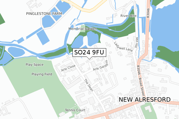
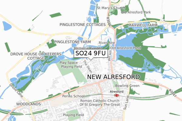
SO24 9FU is located in the Alresford and Itchen Valley electoral ward, within the local authority district of Winchester and the English Parliamentary constituency of Winchester. The Sub Integrated Care Board (ICB) Location is NHS Hampshire and Isle of Wight ICB - D9Y0V and the police force is Hampshire. This postcode has been in use since September 2019.


GetTheData
Source: OS Open Zoomstack (Ordnance Survey)
Licence: Open Government Licence (requires attribution)
Attribution: Contains OS data © Crown copyright and database right 2025
Source: Open Postcode Geo
Licence: Open Government Licence (requires attribution)
Attribution: Contains OS data © Crown copyright and database right 2025; Contains Royal Mail data © Royal Mail copyright and database right 2025; Source: Office for National Statistics licensed under the Open Government Licence v.3.0
| Easting | 458522 |
| Northing | 132923 |
| Latitude | 51.092635 |
| Longitude | -1.165707 |
GetTheData
Source: Open Postcode Geo
Licence: Open Government Licence
| Country | England |
| Postcode District | SO24 |
➜ See where SO24 is on a map ➜ Where is New Alresford? | |
GetTheData
Source: Land Registry Price Paid Data
Licence: Open Government Licence
| Ward | Alresford And Itchen Valley |
| Constituency | Winchester |
GetTheData
Source: ONS Postcode Database
Licence: Open Government Licence
1, FOB DOWN VIEW, ARLE GARDENS, ALRESFORD, SO24 9FU 2020 7 FEB £847,500 |
4, FOB DOWN VIEW, ARLE GARDENS, ALRESFORD, SO24 9FU 2019 19 DEC £950,000 |
GetTheData
Source: HM Land Registry Price Paid Data
Licence: Contains HM Land Registry data © Crown copyright and database right 2025. This data is licensed under the Open Government Licence v3.0.
| Co-op (West Street) | New Alresford | 316m |
| Co-op (West Street) | New Alresford | 327m |
| Library (Broad Street) | New Alresford | 345m |
| Library (Broad Street) | New Alresford | 352m |
| Swan Hotel (West Street) | New Alresford | 365m |
| Alresford (Mid Hants Railway) | New Alresford | 576m |
GetTheData
Source: NaPTAN
Licence: Open Government Licence
GetTheData
Source: ONS Postcode Database
Licence: Open Government Licence


➜ Get more ratings from the Food Standards Agency
GetTheData
Source: Food Standards Agency
Licence: FSA terms & conditions
| Last Collection | |||
|---|---|---|---|
| Location | Mon-Fri | Sat | Distance |
| Broad Street | 17:45 | 12:00 | 275m |
| Alresford Post Office | 17:45 | 12:00 | 366m |
| Salisbury Road | 17:30 | 12:00 | 779m |
GetTheData
Source: Dracos
Licence: Creative Commons Attribution-ShareAlike
The below table lists the International Territorial Level (ITL) codes (formerly Nomenclature of Territorial Units for Statistics (NUTS) codes) and Local Administrative Units (LAU) codes for SO24 9FU:
| ITL 1 Code | Name |
|---|---|
| TLJ | South East (England) |
| ITL 2 Code | Name |
| TLJ3 | Hampshire and Isle of Wight |
| ITL 3 Code | Name |
| TLJ36 | Central Hampshire |
| LAU 1 Code | Name |
| E07000094 | Winchester |
GetTheData
Source: ONS Postcode Directory
Licence: Open Government Licence
The below table lists the Census Output Area (OA), Lower Layer Super Output Area (LSOA), and Middle Layer Super Output Area (MSOA) for SO24 9FU:
| Code | Name | |
|---|---|---|
| OA | E00118281 | |
| LSOA | E01023281 | Winchester 004E |
| MSOA | E02004832 | Winchester 004 |
GetTheData
Source: ONS Postcode Directory
Licence: Open Government Licence
| SO24 9BA | Arle Gardens | 67m |
| SO24 9BD | The Dean | 75m |
| SO24 9BB | Hill Terrace | 84m |
| SO24 9BE | The Dean | 119m |
| SO24 9BX | Mallard Close | 125m |
| SO24 9AZ | The Dean | 130m |
| SO24 9BH | The Dean | 144m |
| SO24 9BG | Arle Close | 147m |
| SO24 9DF | Ladywell Lane | 164m |
| SO24 9TA | 211m |
GetTheData
Source: Open Postcode Geo; Land Registry Price Paid Data
Licence: Open Government Licence