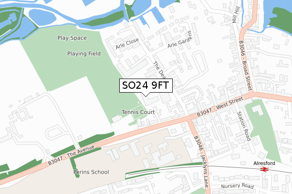
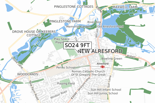
SO24 9FT is located in the Alresford and Itchen Valley electoral ward, within the local authority district of Winchester and the English Parliamentary constituency of Winchester. The Sub Integrated Care Board (ICB) Location is NHS Hampshire and Isle of Wight ICB - D9Y0V and the police force is Hampshire. This postcode has been in use since April 2019.


GetTheData
Source: OS Open Zoomstack (Ordnance Survey)
Licence: Open Government Licence (requires attribution)
Attribution: Contains OS data © Crown copyright and database right 2025
Source: Open Postcode Geo
Licence: Open Government Licence (requires attribution)
Attribution: Contains OS data © Crown copyright and database right 2025; Contains Royal Mail data © Royal Mail copyright and database right 2025; Source: Office for National Statistics licensed under the Open Government Licence v.3.0
| Easting | 458468 |
| Northing | 132691 |
| Latitude | 51.090555 |
| Longitude | -1.166516 |
GetTheData
Source: Open Postcode Geo
Licence: Open Government Licence
| Country | England |
| Postcode District | SO24 |
➜ See where SO24 is on a map ➜ Where is New Alresford? | |
GetTheData
Source: Land Registry Price Paid Data
Licence: Open Government Licence
| Ward | Alresford And Itchen Valley |
| Constituency | Winchester |
GetTheData
Source: ONS Postcode Database
Licence: Open Government Licence
| Perins School Grounds | New Alresford | 192m |
| Co-op (West Street) | New Alresford | 193m |
| Perins School (Jacklyns Lane) | New Alresford | 206m |
| Co-op (West Street) | New Alresford | 227m |
| Perins School (Jacklyns Lane) | New Alresford | 256m |
| Alresford (Mid Hants Railway) | New Alresford | 452m |
GetTheData
Source: NaPTAN
Licence: Open Government Licence
| Percentage of properties with Next Generation Access | 100.0% |
| Percentage of properties with Superfast Broadband | 100.0% |
| Percentage of properties with Ultrafast Broadband | 100.0% |
| Percentage of properties with Full Fibre Broadband | 100.0% |
Superfast Broadband is between 30Mbps and 300Mbps
Ultrafast Broadband is > 300Mbps
| Percentage of properties unable to receive 2Mbps | 0.0% |
| Percentage of properties unable to receive 5Mbps | 0.0% |
| Percentage of properties unable to receive 10Mbps | 0.0% |
| Percentage of properties unable to receive 30Mbps | 0.0% |
GetTheData
Source: Ofcom
Licence: Ofcom Terms of Use (requires attribution)
GetTheData
Source: ONS Postcode Database
Licence: Open Government Licence


➜ Get more ratings from the Food Standards Agency
GetTheData
Source: Food Standards Agency
Licence: FSA terms & conditions
| Last Collection | |||
|---|---|---|---|
| Location | Mon-Fri | Sat | Distance |
| Alresford Post Office | 17:45 | 12:00 | 291m |
| Broad Street | 17:45 | 12:00 | 396m |
| Salisbury Road | 17:30 | 12:00 | 550m |
GetTheData
Source: Dracos
Licence: Creative Commons Attribution-ShareAlike
The below table lists the International Territorial Level (ITL) codes (formerly Nomenclature of Territorial Units for Statistics (NUTS) codes) and Local Administrative Units (LAU) codes for SO24 9FT:
| ITL 1 Code | Name |
|---|---|
| TLJ | South East (England) |
| ITL 2 Code | Name |
| TLJ3 | Hampshire and Isle of Wight |
| ITL 3 Code | Name |
| TLJ36 | Central Hampshire |
| LAU 1 Code | Name |
| E07000094 | Winchester |
GetTheData
Source: ONS Postcode Directory
Licence: Open Government Licence
The below table lists the Census Output Area (OA), Lower Layer Super Output Area (LSOA), and Middle Layer Super Output Area (MSOA) for SO24 9FT:
| Code | Name | |
|---|---|---|
| OA | E00118282 | |
| LSOA | E01023281 | Winchester 004E |
| MSOA | E02004832 | Winchester 004 |
GetTheData
Source: ONS Postcode Directory
Licence: Open Government Licence
| SO24 9BQ | The Dean | 65m |
| SO24 9BZ | Park Mount | 66m |
| SO24 9BH | The Dean | 94m |
| SO24 9BW | Pound Hill | 101m |
| SO24 9AZ | The Dean | 116m |
| SO24 9AX | Evelyn Mews | 145m |
| SO24 9DE | Orchard Dean | 150m |
| SO24 9BP | Pound Hill | 160m |
| SO24 9BX | Mallard Close | 170m |
| SO24 9BG | Arle Close | 182m |
GetTheData
Source: Open Postcode Geo; Land Registry Price Paid Data
Licence: Open Government Licence