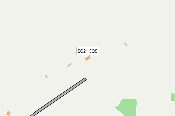
SO21 3QS is located in the Harewood electoral ward, within the local authority district of Test Valley and the English Parliamentary constituency of Romsey and Southampton North. The Sub Integrated Care Board (ICB) Location is NHS Hampshire and Isle of Wight ICB - D9Y0V and the police force is Hampshire. This postcode has been in use since January 2009.


GetTheData
Source: OS OpenMap – Local (Ordnance Survey)
Source: OS VectorMap District (Ordnance Survey)
Licence: Open Government Licence (requires attribution)
| Easting | 444597 |
| Northing | 142957 |
| Latitude | 51.184105 |
| Longitude | -1.363293 |
GetTheData
Source: Open Postcode Geo
Licence: Open Government Licence
| Country | England |
| Postcode District | SO21 |
➜ See where SO21 is on a map | |
GetTheData
Source: Land Registry Price Paid Data
Licence: Open Government Licence
Elevation or altitude of SO21 3QS as distance above sea level:
| Metres | Feet | |
|---|---|---|
| Elevation | 60m | 197ft |
Elevation is measured from the approximate centre of the postcode, to the nearest point on an OS contour line from OS Terrain 50, which has contour spacing of ten vertical metres.
➜ How high above sea level am I? Find the elevation of your current position using your device's GPS.
GetTheData
Source: Open Postcode Elevation
Licence: Open Government Licence
| Ward | Harewood |
| Constituency | Romsey And Southampton North |
GetTheData
Source: ONS Postcode Database
Licence: Open Government Licence
| Barton Stacey Turn (A303(T)) | Barton Stacey | 849m |
| Longparish Turn (A303(T)) | Drayton | 956m |
| Roberts Road | Barton Stacey | 1,433m |
| Roberts Road | Barton Stacey | 1,448m |
| Roman Way (Roberts Road) | Barton Stacey | 1,461m |
GetTheData
Source: NaPTAN
Licence: Open Government Licence
GetTheData
Source: ONS Postcode Database
Licence: Open Government Licence


➜ Get more ratings from the Food Standards Agency
GetTheData
Source: Food Standards Agency
Licence: FSA terms & conditions
| Last Collection | |||
|---|---|---|---|
| Location | Mon-Fri | Sat | Distance |
| Little Chef | 16:30 | 09:15 | 1,031m |
| Lower Bullington | 16:15 | 07:45 | 1,940m |
| Barton Stacey Post Office | 16:45 | 10:00 | 2,171m |
GetTheData
Source: Dracos
Licence: Creative Commons Attribution-ShareAlike
The below table lists the International Territorial Level (ITL) codes (formerly Nomenclature of Territorial Units for Statistics (NUTS) codes) and Local Administrative Units (LAU) codes for SO21 3QS:
| ITL 1 Code | Name |
|---|---|
| TLJ | South East (England) |
| ITL 2 Code | Name |
| TLJ3 | Hampshire and Isle of Wight |
| ITL 3 Code | Name |
| TLJ36 | Central Hampshire |
| LAU 1 Code | Name |
| E07000093 | Test Valley |
GetTheData
Source: ONS Postcode Directory
Licence: Open Government Licence
The below table lists the Census Output Area (OA), Lower Layer Super Output Area (LSOA), and Middle Layer Super Output Area (MSOA) for SO21 3QS:
| Code | Name | |
|---|---|---|
| OA | E00117778 | |
| LSOA | E01023178 | Test Valley 008C |
| MSOA | E02004821 | Test Valley 008 |
GetTheData
Source: ONS Postcode Directory
Licence: Open Government Licence
| SO21 3RU | Roberts Road | 1372m |
| SO21 3RX | Roman Way | 1457m |
| SP11 6PJ | 1490m | |
| SO21 3SA | The Green | 1590m |
| SP11 6PN | Mill Lane | 1643m |
| SO21 3RZ | East Road | 1669m |
| SO21 3RY | Roberts Road | 1672m |
| SP11 6QL | District Villas | 1696m |
| SO21 3SD | Pheasant Close | 1698m |
| SP11 6PH | The Common | 1699m |
GetTheData
Source: Open Postcode Geo; Land Registry Price Paid Data
Licence: Open Government Licence