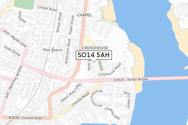
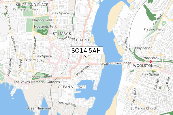
SO14 5AH is located in the Bargate electoral ward, within the unitary authority of Southampton and the English Parliamentary constituency of Southampton, Itchen. The Sub Integrated Care Board (ICB) Location is NHS Hampshire and Isle of Wight ICB - D9Y0V and the police force is Hampshire. This postcode has been in use since January 2018.


GetTheData
Source: OS Open Zoomstack (Ordnance Survey)
Licence: Open Government Licence (requires attribution)
Attribution: Contains OS data © Crown copyright and database right 2025
Source: Open Postcode Geo
Licence: Open Government Licence (requires attribution)
Attribution: Contains OS data © Crown copyright and database right 2025; Contains Royal Mail data © Royal Mail copyright and database right 2025; Source: Office for National Statistics licensed under the Open Government Licence v.3.0
| Easting | 442978 |
| Northing | 111306 |
| Latitude | 50.899629 |
| Longitude | -1.390207 |
GetTheData
Source: Open Postcode Geo
Licence: Open Government Licence
| Country | England |
| Postcode District | SO14 |
➜ See where SO14 is on a map ➜ Where is Southampton? | |
GetTheData
Source: Land Registry Price Paid Data
Licence: Open Government Licence
| Ward | Bargate |
| Constituency | Southampton, Itchen |
GetTheData
Source: ONS Postcode Database
Licence: Open Government Licence
| Itchen Bridge (Albert Road North) | Chapel | 88m |
| Itchen Bridge (Itchen Toll Bridge) | Chapel | 108m |
| Anglesea Terrace (Albert Road North) | Chapel | 176m |
| Anglesea Terrace (Albert Road North) | Chapel | 186m |
| Itchen Bridge (Saltmarsh Road) | Chapel | 207m |
| Woolston Station | 0.9km |
| Southampton Town Quay | 1.2km |
| Sholing Station | 1.8km |
GetTheData
Source: NaPTAN
Licence: Open Government Licence
GetTheData
Source: ONS Postcode Database
Licence: Open Government Licence


➜ Get more ratings from the Food Standards Agency
GetTheData
Source: Food Standards Agency
Licence: FSA terms & conditions
| Last Collection | |||
|---|---|---|---|
| Location | Mon-Fri | Sat | Distance |
| Albert Road South | 16:30 | 12:00 | 207m |
| Chapel Road | 17:30 | 11:30 | 283m |
| City Commerce Centre | 18:30 | 11:45 | 308m |
GetTheData
Source: Dracos
Licence: Creative Commons Attribution-ShareAlike
| Risk of SO14 5AH flooding from rivers and sea | High |
| ➜ SO14 5AH flood map | |
GetTheData
Source: Open Flood Risk by Postcode
Licence: Open Government Licence
The below table lists the International Territorial Level (ITL) codes (formerly Nomenclature of Territorial Units for Statistics (NUTS) codes) and Local Administrative Units (LAU) codes for SO14 5AH:
| ITL 1 Code | Name |
|---|---|
| TLJ | South East (England) |
| ITL 2 Code | Name |
| TLJ3 | Hampshire and Isle of Wight |
| ITL 3 Code | Name |
| TLJ32 | Southampton |
| LAU 1 Code | Name |
| E06000045 | Southampton |
GetTheData
Source: ONS Postcode Directory
Licence: Open Government Licence
The below table lists the Census Output Area (OA), Lower Layer Super Output Area (LSOA), and Middle Layer Super Output Area (MSOA) for SO14 5AH:
| Code | Name | |
|---|---|---|
| OA | E00167007 | |
| LSOA | E01017142 | Southampton 029C |
| MSOA | E02003577 | Southampton 029 |
GetTheData
Source: ONS Postcode Directory
Licence: Open Government Licence
| SO14 5FZ | Endle Street | 37m |
| SO14 5GB | Albert Road North | 69m |
| SO14 5GZ | Crosshouse Road | 102m |
| SO14 5BL | Anglesea Terrace | 143m |
| SO14 5FR | Andersons Road | 162m |
| SO14 3FL | Longbridge Industrial Park | 162m |
| SO14 5FD | Andersons Road | 163m |
| SO14 3FW | Canute Road | 168m |
| SO14 5FH | Ted Bates Road | 193m |
| SO14 5FL | Chantry Road | 194m |
GetTheData
Source: Open Postcode Geo; Land Registry Price Paid Data
Licence: Open Government Licence