SO14 3QS open data databoard
- Home
- Postcode
- SO
- SO14
- SO14 3
SO14 3QS is located in the Bargate electoral ward, within the unitary authority of Southampton and the English Parliamentary constituency of Southampton, Itchen. The Sub Integrated Care Board (ICB) Location is NHS Hampshire and Isle of Wight ICB - D9Y0V and the police force is Hampshire. This postcode has been in use since November 2017.
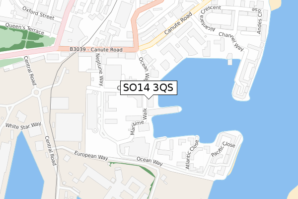
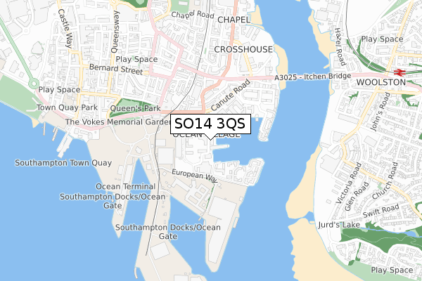
SO14 3QS maps


Source: OS Open Zoomstack (Ordnance Survey)
Licence: Open Government Licence (requires attribution)
Attribution: Contains OS data © Crown copyright and database right 2025
Source: Open Postcode GeoLicence: Open Government Licence (requires attribution)
Attribution: Contains OS data © Crown copyright and database right 2025; Contains Royal Mail data © Royal Mail copyright and database right 2025; Source: Office for National Statistics licensed under the Open Government Licence v.3.0
SO14 3QS geodata
| Easting | 442791 |
| Northing | 110842 |
| Latitude | 50.895471 |
| Longitude | -1.392920 |
Where is SO14 3QS?
| Country | England |
| Postcode District | SO14 |
Politics
| Ward | Bargate |
|---|
| Constituency | Southampton, Itchen |
|---|
Transport
Nearest bus stops to SO14 3QS
| Ocean Village (Ocean Way) | Ocean Village | 61m |
| Ocean Village (Ocean Way) | Ocean Village | 72m |
| Ocean Village (Canute Road) | Ocean Village | 183m |
| Ocean Village (Canute Road) | Ocean Village | 189m |
| National Oceanography Centre (European Way) | Eastern Docks | 294m |
Nearest railway stations to SO14 3QS
| Southampton Town Quay | 0.9km |
| Woolston Station | 1.2km |
| Southampton Central Station | 2km |
Broadband
Broadband access in SO14 3QS (2020 data)
| Percentage of properties with Next Generation Access | 100.0% |
| Percentage of properties with Superfast Broadband | 100.0% |
| Percentage of properties with Ultrafast Broadband | 100.0% |
| Percentage of properties with Full Fibre Broadband | 100.0% |
Superfast Broadband is between 30Mbps and 300Mbps
Ultrafast Broadband is > 300Mbps
Broadband limitations in SO14 3QS (2020 data)
| Percentage of properties unable to receive 2Mbps | 0.0% |
| Percentage of properties unable to receive 5Mbps | 0.0% |
| Percentage of properties unable to receive 10Mbps | 0.0% |
| Percentage of properties unable to receive 30Mbps | 0.0% |
Deprivation
29.2% of English postcodes are less deprived than
SO14 3QS:
Food Standards Agency
Three nearest food hygiene ratings to SO14 3QS (metres)
Blue Jasmine
The Coop
Southampton Harbour Hotel
➜ Get more ratings from the Food Standards Agency
Nearest post box to SO14 3QS
| | Last Collection | |
|---|
| Location | Mon-Fri | Sat | Distance |
|---|
| Ocean Village | 18:30 | 12:15 | 100m |
| Ocean Village | 18:30 | 12:00 | 100m |
| Albert Road South | 16:30 | 12:00 | 301m |
SO14 3QS ITL and SO14 3QS LAU
The below table lists the International Territorial Level (ITL) codes (formerly Nomenclature of Territorial Units for Statistics (NUTS) codes) and Local Administrative Units (LAU) codes for SO14 3QS:
| ITL 1 Code | Name |
|---|
| TLJ | South East (England) |
| ITL 2 Code | Name |
|---|
| TLJ3 | Hampshire and Isle of Wight |
| ITL 3 Code | Name |
|---|
| TLJ32 | Southampton |
| LAU 1 Code | Name |
|---|
| E06000045 | Southampton |
SO14 3QS census areas
The below table lists the Census Output Area (OA), Lower Layer Super Output Area (LSOA), and Middle Layer Super Output Area (MSOA) for SO14 3QS:
| Code | Name |
|---|
| OA | E00167006 | |
|---|
| LSOA | E01032748 | Southampton 029G |
|---|
| MSOA | E02003577 | Southampton 029 |
|---|
Nearest postcodes to SO14 3QS


