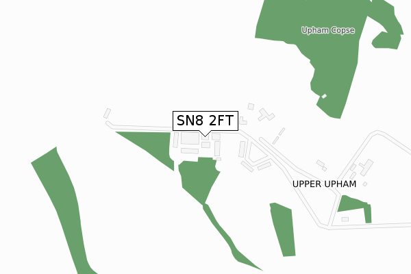
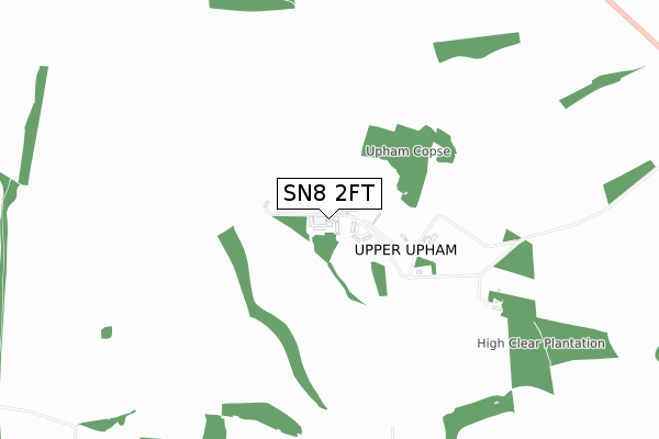
SN8 2FT is located in the Aldbourne & Ramsbury electoral ward, within the unitary authority of Wiltshire and the English Parliamentary constituency of Devizes. The Sub Integrated Care Board (ICB) Location is NHS Bath and North East Somerset, Swindon and Wiltshire ICB - 92 and the police force is Wiltshire. This postcode has been in use since May 2019.


GetTheData
Source: OS Open Zoomstack (Ordnance Survey)
Licence: Open Government Licence (requires attribution)
Attribution: Contains OS data © Crown copyright and database right 2025
Source: Open Postcode Geo
Licence: Open Government Licence (requires attribution)
Attribution: Contains OS data © Crown copyright and database right 2025; Contains Royal Mail data © Royal Mail copyright and database right 2025; Source: Office for National Statistics licensed under the Open Government Licence v.3.0
| Easting | 422541 |
| Northing | 177212 |
| Latitude | 51.493407 |
| Longitude | -1.676697 |
GetTheData
Source: Open Postcode Geo
Licence: Open Government Licence
| Country | England |
| Postcode District | SN8 |
➜ See where SN8 is on a map ➜ Where is Upper Upham? | |
GetTheData
Source: Land Registry Price Paid Data
Licence: Open Government Licence
| Ward | Aldbourne & Ramsbury |
| Constituency | Devizes |
GetTheData
Source: ONS Postcode Database
Licence: Open Government Licence
GetTheData
Source: ONS Postcode Database
Licence: Open Government Licence
| Last Collection | |||
|---|---|---|---|
| Location | Mon-Fri | Sat | Distance |
| The Warren | 16:15 | 10:00 | 1,519m |
| Foxhill | 16:15 | 09:30 | 4,133m |
| Aldbourne Post Office | 16:15 | 10:30 | 4,190m |
GetTheData
Source: Dracos
Licence: Creative Commons Attribution-ShareAlike
The below table lists the International Territorial Level (ITL) codes (formerly Nomenclature of Territorial Units for Statistics (NUTS) codes) and Local Administrative Units (LAU) codes for SN8 2FT:
| ITL 1 Code | Name |
|---|---|
| TLK | South West (England) |
| ITL 2 Code | Name |
| TLK1 | Gloucestershire, Wiltshire and Bath/Bristol area |
| ITL 3 Code | Name |
| TLK15 | Wiltshire |
| LAU 1 Code | Name |
| E06000054 | Wiltshire |
GetTheData
Source: ONS Postcode Directory
Licence: Open Government Licence
The below table lists the Census Output Area (OA), Lower Layer Super Output Area (LSOA), and Middle Layer Super Output Area (MSOA) for SN8 2FT:
| Code | Name | |
|---|---|---|
| OA | E00162387 | |
| LSOA | E01031841 | Wiltshire 012A |
| MSOA | E02006634 | Wiltshire 012 |
GetTheData
Source: ONS Postcode Directory
Licence: Open Government Licence
| SN8 2LG | Summerdale | 97m |
| SN8 2NP | Woodsend | 1300m |
| SN8 2LE | Swindon Road | 1641m |
| SN4 0EB | 1756m | |
| SN8 2LD | Ogbourne Road | 2796m |
| SN8 1TA | 2831m | |
| SN8 2NW | 3068m | |
| SN8 2NU | Stock Lane | 3230m |
| SN4 0JF | Ypres Road | 3236m |
| SN4 0DT | Plain Farm Cottages | 3398m |
GetTheData
Source: Open Postcode Geo; Land Registry Price Paid Data
Licence: Open Government Licence