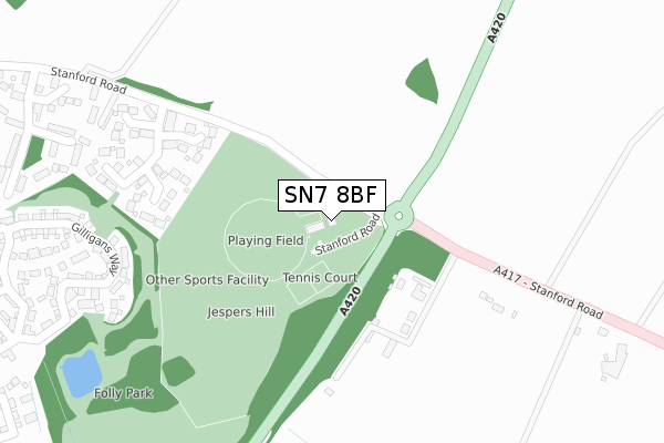
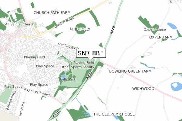
SN7 8BF is located in the Faringdon electoral ward, within the local authority district of Vale of White Horse and the English Parliamentary constituency of Wantage. The Sub Integrated Care Board (ICB) Location is NHS Buckinghamshire, Oxfordshire and Berkshire West ICB - 10Q and the police force is Thames Valley. This postcode has been in use since January 2019.


GetTheData
Source: OS Open Zoomstack (Ordnance Survey)
Licence: Open Government Licence (requires attribution)
Attribution: Contains OS data © Crown copyright and database right 2025
Source: Open Postcode Geo
Licence: Open Government Licence (requires attribution)
Attribution: Contains OS data © Crown copyright and database right 2025; Contains Royal Mail data © Royal Mail copyright and database right 2025; Source: Office for National Statistics licensed under the Open Government Licence v.3.0
| Easting | 429883 |
| Northing | 195222 |
| Latitude | 51.655001 |
| Longitude | -1.569417 |
GetTheData
Source: Open Postcode Geo
Licence: Open Government Licence
| Country | England |
| Postcode District | SN7 |
➜ See where SN7 is on a map | |
GetTheData
Source: Land Registry Price Paid Data
Licence: Open Government Licence
| Ward | Faringdon |
| Constituency | Wantage |
GetTheData
Source: ONS Postcode Database
Licence: Open Government Licence
| Lansdown Road | Faringdon | 699m |
| Clements Way | Faringdon | 709m |
| Pye Street | Faringdon | 768m |
| Stanford Road (London Street) | Faringdon | 786m |
| Stanford Road (London Street) | Faringdon | 801m |
GetTheData
Source: NaPTAN
Licence: Open Government Licence
GetTheData
Source: ONS Postcode Database
Licence: Open Government Licence


➜ Get more ratings from the Food Standards Agency
GetTheData
Source: Food Standards Agency
Licence: FSA terms & conditions
| Last Collection | |||
|---|---|---|---|
| Location | Mon-Fri | Sat | Distance |
| Berners Way | 17:30 | 12:00 | 583m |
| Goodlake Avenue | 17:30 | 12:00 | 871m |
| Faringdon Post Office | 18:30 | 12:30 | 1,119m |
GetTheData
Source: Dracos
Licence: Creative Commons Attribution-ShareAlike
The below table lists the International Territorial Level (ITL) codes (formerly Nomenclature of Territorial Units for Statistics (NUTS) codes) and Local Administrative Units (LAU) codes for SN7 8BF:
| ITL 1 Code | Name |
|---|---|
| TLJ | South East (England) |
| ITL 2 Code | Name |
| TLJ1 | Berkshire, Buckinghamshire and Oxfordshire |
| ITL 3 Code | Name |
| TLJ14 | Oxfordshire CC |
| LAU 1 Code | Name |
| E07000180 | Vale of White Horse |
GetTheData
Source: ONS Postcode Directory
Licence: Open Government Licence
The below table lists the Census Output Area (OA), Lower Layer Super Output Area (LSOA), and Middle Layer Super Output Area (MSOA) for SN7 8BF:
| Code | Name | |
|---|---|---|
| OA | E00173198 | |
| LSOA | E01028716 | Vale of White Horse 009A |
| MSOA | E02005986 | Vale of White Horse 009 |
GetTheData
Source: ONS Postcode Directory
Licence: Open Government Licence
| SN7 8SJ | Nursery View | 313m |
| SN7 8EP | Kiln Cottages | 399m |
| SN7 7FX | Gilligans Way | 435m |
| SN7 7YQ | Tuckers Road | 437m |
| SN7 7YG | Tuckers Road | 492m |
| SN7 7GA | Russ Avenue | 495m |
| SN7 7YZ | Wessex Close | 541m |
| SN7 7YX | Hampden Close | 549m |
| SN7 7YY | Wessex Close | 563m |
| SN7 7GJ | Hobbs Road | 573m |
GetTheData
Source: Open Postcode Geo; Land Registry Price Paid Data
Licence: Open Government Licence