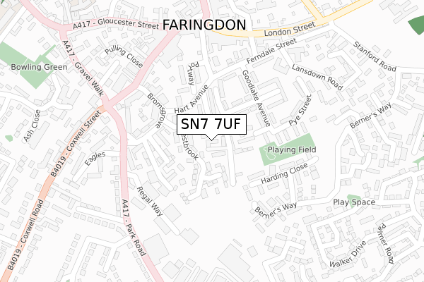
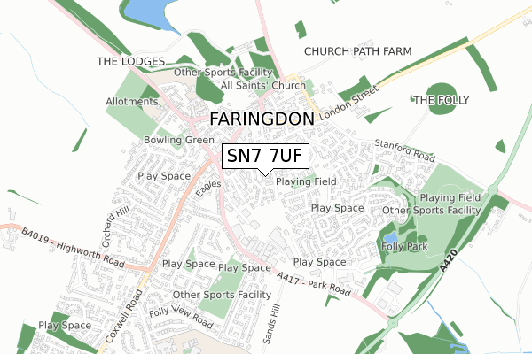
SN7 7UF is located in the Faringdon electoral ward, within the local authority district of Vale of White Horse and the English Parliamentary constituency of Wantage. The Sub Integrated Care Board (ICB) Location is NHS Buckinghamshire, Oxfordshire and Berkshire West ICB - 10Q and the police force is Thames Valley. This postcode has been in use since September 2019.


GetTheData
Source: OS Open Zoomstack (Ordnance Survey)
Licence: Open Government Licence (requires attribution)
Attribution: Contains OS data © Crown copyright and database right 2025
Source: Open Postcode Geo
Licence: Open Government Licence (requires attribution)
Attribution: Contains OS data © Crown copyright and database right 2025; Contains Royal Mail data © Royal Mail copyright and database right 2025; Source: Office for National Statistics licensed under the Open Government Licence v.3.0
| Easting | 428916 |
| Northing | 195290 |
| Latitude | 51.655663 |
| Longitude | -1.583389 |
GetTheData
Source: Open Postcode Geo
Licence: Open Government Licence
| Country | England |
| Postcode District | SN7 |
➜ See where SN7 is on a map ➜ Where is Faringdon? | |
GetTheData
Source: Land Registry Price Paid Data
Licence: Open Government Licence
| Ward | Faringdon |
| Constituency | Wantage |
GetTheData
Source: ONS Postcode Database
Licence: Open Government Licence
| Southampton Street Car Park (Portway) | Faringdon | 189m |
| Station Road | Faringdon | 212m |
| Pye Street | Faringdon | 221m |
| Marlborough Street | Faringdon | 236m |
| Coxwell Street | Faringdon | 294m |
GetTheData
Source: NaPTAN
Licence: Open Government Licence
GetTheData
Source: ONS Postcode Database
Licence: Open Government Licence


➜ Get more ratings from the Food Standards Agency
GetTheData
Source: Food Standards Agency
Licence: FSA terms & conditions
| Last Collection | |||
|---|---|---|---|
| Location | Mon-Fri | Sat | Distance |
| Goodlake Avenue | 17:30 | 12:00 | 153m |
| Faringdon Post Office | 18:30 | 12:30 | 258m |
| Gravel Walk | 17:30 | 12:15 | 385m |
GetTheData
Source: Dracos
Licence: Creative Commons Attribution-ShareAlike
The below table lists the International Territorial Level (ITL) codes (formerly Nomenclature of Territorial Units for Statistics (NUTS) codes) and Local Administrative Units (LAU) codes for SN7 7UF:
| ITL 1 Code | Name |
|---|---|
| TLJ | South East (England) |
| ITL 2 Code | Name |
| TLJ1 | Berkshire, Buckinghamshire and Oxfordshire |
| ITL 3 Code | Name |
| TLJ14 | Oxfordshire CC |
| LAU 1 Code | Name |
| E07000180 | Vale of White Horse |
GetTheData
Source: ONS Postcode Directory
Licence: Open Government Licence
The below table lists the Census Output Area (OA), Lower Layer Super Output Area (LSOA), and Middle Layer Super Output Area (MSOA) for SN7 7UF:
| Code | Name | |
|---|---|---|
| OA | E00146259 | |
| LSOA | E01028718 | Vale of White Horse 009C |
| MSOA | E02005986 | Vale of White Horse 009 |
GetTheData
Source: ONS Postcode Directory
Licence: Open Government Licence
| SN7 7DZ | Westbrook | 52m |
| SN7 7AZ | Southampton Street | 55m |
| SN7 7BA | The Lees | 68m |
| SN7 7AU | Liddiards Row | 83m |
| SN7 7AX | Cadels Row | 84m |
| SN7 7BF | Fletcher Close | 87m |
| SN7 7BB | The Lees | 88m |
| SN7 7AY | Bennett Road | 93m |
| SN7 7DU | Willes Close | 100m |
| SN7 7JH | Walnut Court | 104m |
GetTheData
Source: Open Postcode Geo; Land Registry Price Paid Data
Licence: Open Government Licence