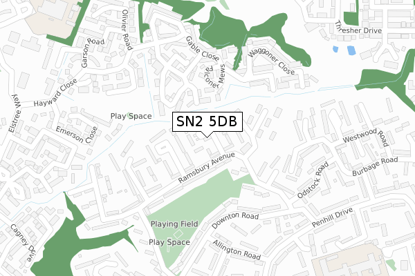
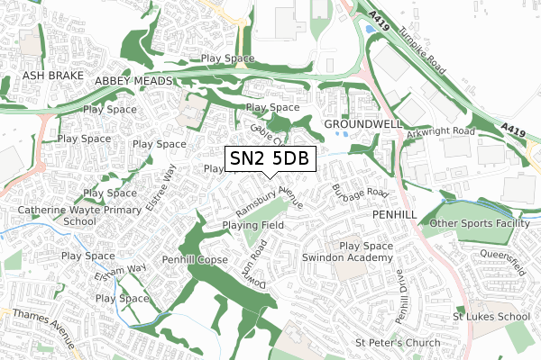
SN2 5DB is located in the Penhill and Upper Stratton electoral ward, within the unitary authority of Swindon and the English Parliamentary constituency of North Swindon. The Sub Integrated Care Board (ICB) Location is NHS Bath and North East Somerset, Swindon and Wiltshire ICB - 92 and the police force is Wiltshire. This postcode has been in use since February 2020.


GetTheData
Source: OS Open Zoomstack (Ordnance Survey)
Licence: Open Government Licence (requires attribution)
Attribution: Contains OS data © Crown copyright and database right 2025
Source: Open Postcode Geo
Licence: Open Government Licence (requires attribution)
Attribution: Contains OS data © Crown copyright and database right 2025; Contains Royal Mail data © Royal Mail copyright and database right 2025; Source: Office for National Statistics licensed under the Open Government Licence v.3.0
| Easting | 414830 |
| Northing | 188671 |
| Latitude | 51.596693 |
| Longitude | -1.787286 |
GetTheData
Source: Open Postcode Geo
Licence: Open Government Licence
| Country | England |
| Postcode District | SN2 |
➜ See where SN2 is on a map ➜ Where is Swindon? | |
GetTheData
Source: Land Registry Price Paid Data
Licence: Open Government Licence
| Ward | Penhill And Upper Stratton |
| Constituency | North Swindon |
GetTheData
Source: ONS Postcode Database
Licence: Open Government Licence
| Hannington Close (Ramsbury Avenue) | Penhill | 76m |
| Imber Walk (Ramsbury Avenue) | Penhill | 138m |
| Hilmarton Avenue | Penhill | 365m |
| Downton Road (Penhill Drive) | Penhill | 429m |
| Avebury Road (Downton Road) | Penhill | 430m |
| Swindon Station | 3.5km |
GetTheData
Source: NaPTAN
Licence: Open Government Licence
GetTheData
Source: ONS Postcode Database
Licence: Open Government Licence


➜ Get more ratings from the Food Standards Agency
GetTheData
Source: Food Standards Agency
Licence: FSA terms & conditions
| Last Collection | |||
|---|---|---|---|
| Location | Mon-Fri | Sat | Distance |
| Hilmarton Avenue | 17:30 | 11:45 | 408m |
| Groundwell Industrial Estate | 18:45 | 11:30 | 536m |
| Penhill Post Office | 17:30 | 12:00 | 641m |
GetTheData
Source: Dracos
Licence: Creative Commons Attribution-ShareAlike
The below table lists the International Territorial Level (ITL) codes (formerly Nomenclature of Territorial Units for Statistics (NUTS) codes) and Local Administrative Units (LAU) codes for SN2 5DB:
| ITL 1 Code | Name |
|---|---|
| TLK | South West (England) |
| ITL 2 Code | Name |
| TLK1 | Gloucestershire, Wiltshire and Bath/Bristol area |
| ITL 3 Code | Name |
| TLK14 | Swindon |
| LAU 1 Code | Name |
| E06000030 | Swindon |
GetTheData
Source: ONS Postcode Directory
Licence: Open Government Licence
The below table lists the Census Output Area (OA), Lower Layer Super Output Area (LSOA), and Middle Layer Super Output Area (MSOA) for SN2 5DB:
| Code | Name | |
|---|---|---|
| OA | E00078612 | |
| LSOA | E01015546 | Swindon 003D |
| MSOA | E02003214 | Swindon 003 |
GetTheData
Source: ONS Postcode Directory
Licence: Open Government Licence
| SN2 5NU | Stapleford Way | 38m |
| SN2 5NT | Mildenhall Way | 45m |
| SN2 5NS | Chippenham Walk | 67m |
| SN2 5NX | Ramsbury Avenue | 86m |
| SN2 5NN | Hannington Close | 97m |
| SN2 5NR | Chippenham Walk | 107m |
| SN25 4WT | Falconer Mews | 116m |
| SN2 5NY | Ramsbury Avenue | 123m |
| SN2 5NZ | Imber Walk | 128m |
| SN25 4WS | Woodsman Road | 131m |
GetTheData
Source: Open Postcode Geo; Land Registry Price Paid Data
Licence: Open Government Licence