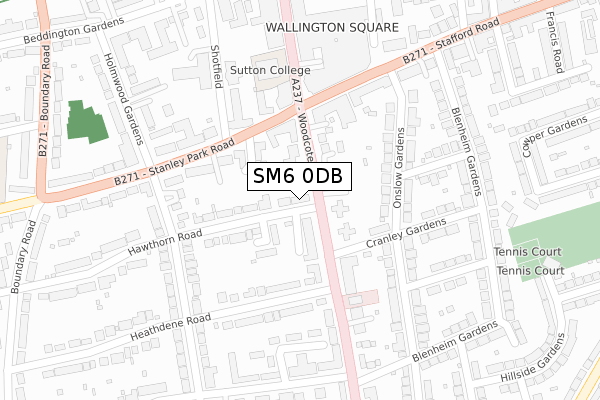
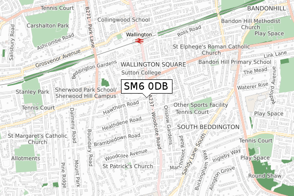
SM6 0DB is located in the Wallington South electoral ward, within the London borough of Sutton and the English Parliamentary constituency of Carshalton and Wallington. The Sub Integrated Care Board (ICB) Location is NHS South West London ICB - 36L and the police force is Metropolitan Police. This postcode has been in use since January 2019.


GetTheData
Source: OS Open Zoomstack (Ordnance Survey)
Licence: Open Government Licence (requires attribution)
Attribution: Contains OS data © Crown copyright and database right 2025
Source: Open Postcode Geo
Licence: Open Government Licence (requires attribution)
Attribution: Contains OS data © Crown copyright and database right 2025; Contains Royal Mail data © Royal Mail copyright and database right 2025; Source: Office for National Statistics licensed under the Open Government Licence v.3.0
| Easting | 528955 |
| Northing | 163497 |
| Latitude | 51.355919 |
| Longitude | -0.149379 |
GetTheData
Source: Open Postcode Geo
Licence: Open Government Licence
| Country | England |
| Postcode District | SM6 |
➜ See where SM6 is on a map ➜ Where is Wallington? | |
GetTheData
Source: Land Registry Price Paid Data
Licence: Open Government Licence
| Ward | Wallington South |
| Constituency | Carshalton And Wallington |
GetTheData
Source: ONS Postcode Database
Licence: Open Government Licence
| Woodcote Road Stafford Road | Wallington | 67m |
| Woodcote Road Stafford Road | Wallington | 92m |
| Shotfield | Wallington | 182m |
| Shotfield | Wallington | 195m |
| Stafford Road Woodcote Road (Stafford Road) | Wallington | 200m |
| Wallington Station | 0.5km |
| Carshalton Beeches Station | 1.4km |
| Carshalton Station | 1.8km |
GetTheData
Source: NaPTAN
Licence: Open Government Licence
| Percentage of properties with Next Generation Access | 100.0% |
| Percentage of properties with Superfast Broadband | 100.0% |
| Percentage of properties with Ultrafast Broadband | 100.0% |
| Percentage of properties with Full Fibre Broadband | 0.0% |
Superfast Broadband is between 30Mbps and 300Mbps
Ultrafast Broadband is > 300Mbps
| Percentage of properties unable to receive 2Mbps | 0.0% |
| Percentage of properties unable to receive 5Mbps | 0.0% |
| Percentage of properties unable to receive 10Mbps | 0.0% |
| Percentage of properties unable to receive 30Mbps | 0.0% |
GetTheData
Source: Ofcom
Licence: Ofcom Terms of Use (requires attribution)
GetTheData
Source: ONS Postcode Database
Licence: Open Government Licence


➜ Get more ratings from the Food Standards Agency
GetTheData
Source: Food Standards Agency
Licence: FSA terms & conditions
| Last Collection | |||
|---|---|---|---|
| Location | Mon-Fri | Sat | Distance |
| Parkhill Road | 18:00 | 12:00 | 274m |
| Woodcote Road (Woolworth) | 19:00 | 12:00 | 304m |
| Onslow Gardens (94) | 17:30 | 12:00 | 320m |
GetTheData
Source: Dracos
Licence: Creative Commons Attribution-ShareAlike
The below table lists the International Territorial Level (ITL) codes (formerly Nomenclature of Territorial Units for Statistics (NUTS) codes) and Local Administrative Units (LAU) codes for SM6 0DB:
| ITL 1 Code | Name |
|---|---|
| TLI | London |
| ITL 2 Code | Name |
| TLI6 | Outer London - South |
| ITL 3 Code | Name |
| TLI63 | Merton, Kingston upon Thames and Sutton |
| LAU 1 Code | Name |
| E09000029 | Sutton |
GetTheData
Source: ONS Postcode Directory
Licence: Open Government Licence
The below table lists the Census Output Area (OA), Lower Layer Super Output Area (LSOA), and Middle Layer Super Output Area (MSOA) for SM6 0DB:
| Code | Name | |
|---|---|---|
| OA | E00021050 | |
| LSOA | E01004177 | Sutton 020C |
| MSOA | E02000859 | Sutton 020 |
GetTheData
Source: ONS Postcode Directory
Licence: Open Government Licence
| SM6 0PY | Woodcote Road | 59m |
| SM6 0PF | Willow Road | 61m |
| SM6 0PR | Woodcote Road | 71m |
| SM6 0SX | Hawthorn Road | 79m |
| SM6 0SN | Turpin Way | 81m |
| SM6 0PW | Woodcote Road | 96m |
| SM6 0HH | Stanley Park Road | 100m |
| SM6 0PS | Woodcote Road | 101m |
| SM6 0PN | Woodcote Road | 114m |
| SM6 0PL | Woodcote Road | 142m |
GetTheData
Source: Open Postcode Geo; Land Registry Price Paid Data
Licence: Open Government Licence