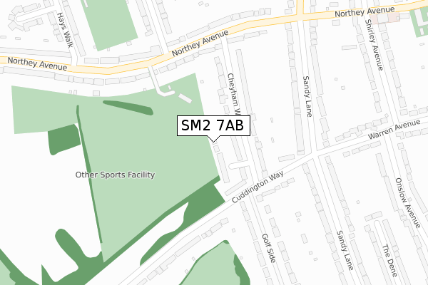
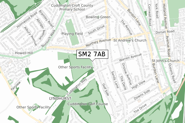
SM2 7AB is located in the Cheam electoral ward, within the London borough of Sutton and the English Parliamentary constituency of Sutton and Cheam. The Sub Integrated Care Board (ICB) Location is NHS South West London ICB - 36L and the police force is Metropolitan Police. This postcode has been in use since August 2019.


GetTheData
Source: OS Open Zoomstack (Ordnance Survey)
Licence: Open Government Licence (requires attribution)
Attribution: Contains OS data © Crown copyright and database right 2025
Source: Open Postcode Geo
Licence: Open Government Licence (requires attribution)
Attribution: Contains OS data © Crown copyright and database right 2025; Contains Royal Mail data © Royal Mail copyright and database right 2025; Source: Office for National Statistics licensed under the Open Government Licence v.3.0
| Easting | 524247 |
| Northing | 162076 |
| Latitude | 51.344196 |
| Longitude | -0.217453 |
GetTheData
Source: Open Postcode Geo
Licence: Open Government Licence
| Country | England |
| Postcode District | SM2 |
➜ See where SM2 is on a map ➜ Where is London? | |
GetTheData
Source: Land Registry Price Paid Data
Licence: Open Government Licence
| Ward | Cheam |
| Constituency | Sutton And Cheam |
GetTheData
Source: ONS Postcode Database
Licence: Open Government Licence
4, WISTERIA MEWS, CHEAM, SUTTON, SM2 7AB 2018 7 NOV £900,000 |
4, WISTERIA MEWS, CHEAM, SUTTON, SM2 7AB 2017 20 JAN £755,000 |
GetTheData
Source: HM Land Registry Price Paid Data
Licence: Contains HM Land Registry data © Crown copyright and database right 2025. This data is licensed under the Open Government Licence v3.0.
| South Drive | Cheam | 421m |
| South Drive | Cheam | 421m |
| Northey Avenue | Cheam | 594m |
| Northey Avenue | Cheam | 622m |
| Sandy Lane Devon Road | Cheam | 623m |
| Cheam Station | 1.3km |
| Belmont Station | 1.3km |
| Banstead Station | 1.7km |
GetTheData
Source: NaPTAN
Licence: Open Government Licence
GetTheData
Source: ONS Postcode Database
Licence: Open Government Licence


➜ Get more ratings from the Food Standards Agency
GetTheData
Source: Food Standards Agency
Licence: FSA terms & conditions
| Last Collection | |||
|---|---|---|---|
| Location | Mon-Fri | Sat | Distance |
| Northey Avenue (68) | 18:45 | 12:00 | 319m |
| Onslow Avenue (2) | 17:15 | 12:00 | 423m |
| Sandy Lane (62) | 17:15 | 12:00 | 431m |
GetTheData
Source: Dracos
Licence: Creative Commons Attribution-ShareAlike
The below table lists the International Territorial Level (ITL) codes (formerly Nomenclature of Territorial Units for Statistics (NUTS) codes) and Local Administrative Units (LAU) codes for SM2 7AB:
| ITL 1 Code | Name |
|---|---|
| TLI | London |
| ITL 2 Code | Name |
| TLI6 | Outer London - South |
| ITL 3 Code | Name |
| TLI63 | Merton, Kingston upon Thames and Sutton |
| LAU 1 Code | Name |
| E09000029 | Sutton |
GetTheData
Source: ONS Postcode Directory
Licence: Open Government Licence
The below table lists the Census Output Area (OA), Lower Layer Super Output Area (LSOA), and Middle Layer Super Output Area (MSOA) for SM2 7AB:
| Code | Name | |
|---|---|---|
| OA | E00165852 | |
| LSOA | E01032623 | Sutton 025E |
| MSOA | E02006836 | Sutton 025 |
GetTheData
Source: ONS Postcode Directory
Licence: Open Government Licence
| SM2 7HX | Cheyham Way | 62m |
| SM2 7HZ | Cuddington Way | 120m |
| SM2 7HY | Cuddington Way | 191m |
| SM2 7HJ | Northey Avenue | 213m |
| SM2 7EP | Sandy Lane | 232m |
| SM2 7HH | Northey Avenue | 254m |
| SM2 7JA | Cuddington Way | 269m |
| SM2 7HQ | Northey Avenue | 278m |
| SM2 7HU | Northey Avenue | 290m |
| SM2 7QN | Warren Avenue | 347m |
GetTheData
Source: Open Postcode Geo; Land Registry Price Paid Data
Licence: Open Government Licence