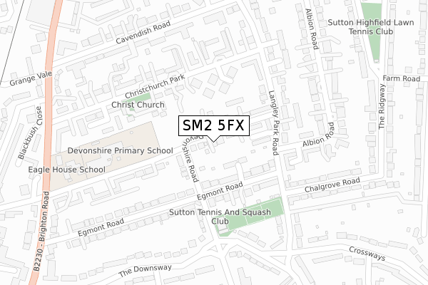
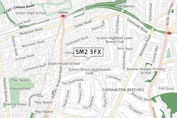
SM2 5FX is located in the Sutton South electoral ward, within the London borough of Sutton and the English Parliamentary constituency of Sutton and Cheam. The Sub Integrated Care Board (ICB) Location is NHS South West London ICB - 36L and the police force is Metropolitan Police. This postcode has been in use since September 2018.


GetTheData
Source: OS Open Zoomstack (Ordnance Survey)
Licence: Open Government Licence (requires attribution)
Attribution: Contains OS data © Crown copyright and database right 2024
Source: Open Postcode Geo
Licence: Open Government Licence (requires attribution)
Attribution: Contains OS data © Crown copyright and database right 2024; Contains Royal Mail data © Royal Mail copyright and database right 2024; Source: Office for National Statistics licensed under the Open Government Licence v.3.0
| Easting | 526389 |
| Northing | 163241 |
| Latitude | 51.354194 |
| Longitude | -0.186301 |
GetTheData
Source: Open Postcode Geo
Licence: Open Government Licence
| Country | England |
| Postcode District | SM2 |
➜ See where SM2 is on a map ➜ Where is Sutton? | |
GetTheData
Source: Land Registry Price Paid Data
Licence: Open Government Licence
| Ward | Sutton South |
| Constituency | Sutton And Cheam |
GetTheData
Source: ONS Postcode Database
Licence: Open Government Licence
| Cavendish Road (Sm2) (Cavendish Road) | Sutton | 320m |
| Cavendish Road (Sm2) (Cavendish Road) | Sutton | 338m |
| Langley Park Road | Sutton | 355m |
| Devonshire Avenue | Sutton | 392m |
| Brighton Road Cavendish Road | Sutton | 410m |
| Sutton (London) Station | 0.7km |
| Carshalton Beeches Station | 1.2km |
| Belmont Station | 1.4km |
GetTheData
Source: NaPTAN
Licence: Open Government Licence
| Percentage of properties with Next Generation Access | 100.0% |
| Percentage of properties with Superfast Broadband | 100.0% |
| Percentage of properties with Ultrafast Broadband | 100.0% |
| Percentage of properties with Full Fibre Broadband | 0.0% |
Superfast Broadband is between 30Mbps and 300Mbps
Ultrafast Broadband is > 300Mbps
| Percentage of properties unable to receive 2Mbps | 0.0% |
| Percentage of properties unable to receive 5Mbps | 0.0% |
| Percentage of properties unable to receive 10Mbps | 0.0% |
| Percentage of properties unable to receive 30Mbps | 0.0% |
GetTheData
Source: Ofcom
Licence: Ofcom Terms of Use (requires attribution)
GetTheData
Source: ONS Postcode Database
Licence: Open Government Licence


➜ Get more ratings from the Food Standards Agency
GetTheData
Source: Food Standards Agency
Licence: FSA terms & conditions
| Last Collection | |||
|---|---|---|---|
| Location | Mon-Fri | Sat | Distance |
| Langley Park Road (40) | 17:30 | 11:15 | 159m |
| Christchurch Park | 17:00 | 12:00 | 168m |
| Egmont Road (46 - Middle) | 17:15 | 12:00 | 202m |
GetTheData
Source: Dracos
Licence: Creative Commons Attribution-ShareAlike
The below table lists the International Territorial Level (ITL) codes (formerly Nomenclature of Territorial Units for Statistics (NUTS) codes) and Local Administrative Units (LAU) codes for SM2 5FX:
| ITL 1 Code | Name |
|---|---|
| TLI | London |
| ITL 2 Code | Name |
| TLI6 | Outer London - South |
| ITL 3 Code | Name |
| TLI63 | Merton, Kingston upon Thames and Sutton |
| LAU 1 Code | Name |
| E09000029 | Sutton |
GetTheData
Source: ONS Postcode Directory
Licence: Open Government Licence
The below table lists the Census Output Area (OA), Lower Layer Super Output Area (LSOA), and Middle Layer Super Output Area (MSOA) for SM2 5FX:
| Code | Name | |
|---|---|---|
| OA | E00020914 | |
| LSOA | E01004153 | Sutton 021E |
| MSOA | E02000860 | Sutton 021 |
GetTheData
Source: ONS Postcode Directory
Licence: Open Government Licence
| SM2 5HQ | Devonshire Road | 19m |
| SM2 5EJ | Devonshire Road | 63m |
| SM2 5JZ | Filey Close | 72m |
| SM2 5PH | Grampian Close | 105m |
| SM2 5HJ | Mitre Close | 114m |
| SM2 5TQ | White Lodge Close | 123m |
| SM2 5JS | Egmont Road | 127m |
| SM2 5TP | White Lodge Close | 149m |
| SM2 5TJ | Christchurch Park | 153m |
| SM2 5JL | Devonshire Avenue | 163m |
GetTheData
Source: Open Postcode Geo; Land Registry Price Paid Data
Licence: Open Government Licence