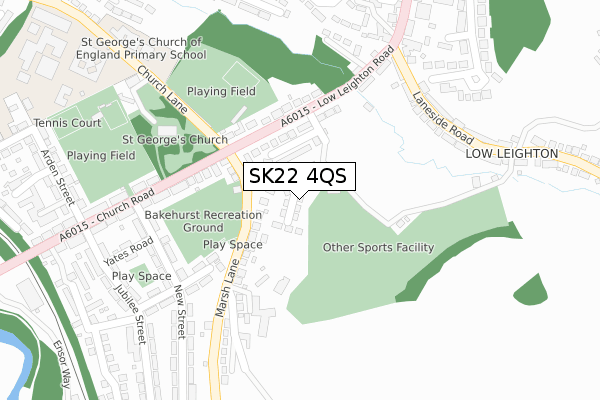
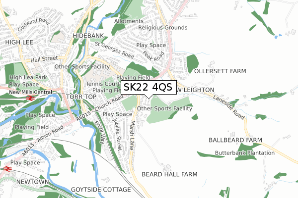
SK22 4QS is located in the New Mills East electoral ward, within the local authority district of High Peak and the English Parliamentary constituency of High Peak. The Sub Integrated Care Board (ICB) Location is NHS Derby and Derbyshire ICB - 15M and the police force is Derbyshire. This postcode has been in use since November 2018.


GetTheData
Source: OS Open Zoomstack (Ordnance Survey)
Licence: Open Government Licence (requires attribution)
Attribution: Contains OS data © Crown copyright and database right 2025
Source: Open Postcode Geo
Licence: Open Government Licence (requires attribution)
Attribution: Contains OS data © Crown copyright and database right 2025; Contains Royal Mail data © Royal Mail copyright and database right 2025; Source: Office for National Statistics licensed under the Open Government Licence v.3.0
| Easting | 400710 |
| Northing | 385326 |
| Latitude | 53.364820 |
| Longitude | -1.990793 |
GetTheData
Source: Open Postcode Geo
Licence: Open Government Licence
| Country | England |
| Postcode District | SK22 |
➜ See where SK22 is on a map | |
GetTheData
Source: Land Registry Price Paid Data
Licence: Open Government Licence
| Ward | New Mills East |
| Constituency | High Peak |
GetTheData
Source: ONS Postcode Database
Licence: Open Government Licence
| Marsh Lane (Low Leighton Road) | New Mills | 131m |
| Marsh Lane (Church Road) | New Mills | 166m |
| Cale Road (Low Leighton Road) | New Mills | 197m |
| Yates Road (New Street) | New Mills | 251m |
| Yates Road (New Street) | New Mills | 255m |
| New Mills Central Station | 1km |
| New Mills Newtown Station | 1.3km |
| Furness Vale Station | 1.8km |
GetTheData
Source: NaPTAN
Licence: Open Government Licence
| Percentage of properties with Next Generation Access | 100.0% |
| Percentage of properties with Superfast Broadband | 100.0% |
| Percentage of properties with Ultrafast Broadband | 0.0% |
| Percentage of properties with Full Fibre Broadband | 0.0% |
Superfast Broadband is between 30Mbps and 300Mbps
Ultrafast Broadband is > 300Mbps
| Percentage of properties unable to receive 2Mbps | 0.0% |
| Percentage of properties unable to receive 5Mbps | 0.0% |
| Percentage of properties unable to receive 10Mbps | 0.0% |
| Percentage of properties unable to receive 30Mbps | 0.0% |
GetTheData
Source: Ofcom
Licence: Ofcom Terms of Use (requires attribution)
GetTheData
Source: ONS Postcode Database
Licence: Open Government Licence


➜ Get more ratings from the Food Standards Agency
GetTheData
Source: Food Standards Agency
Licence: FSA terms & conditions
| Last Collection | |||
|---|---|---|---|
| Location | Mon-Fri | Sat | Distance |
| Church Road | 17:30 | 11:30 | 279m |
| Long Side Road | 17:30 | 11:45 | 285m |
| Goyt Road/ Jubilee Road | 17:30 | 11:45 | 427m |
GetTheData
Source: Dracos
Licence: Creative Commons Attribution-ShareAlike
The below table lists the International Territorial Level (ITL) codes (formerly Nomenclature of Territorial Units for Statistics (NUTS) codes) and Local Administrative Units (LAU) codes for SK22 4QS:
| ITL 1 Code | Name |
|---|---|
| TLF | East Midlands (England) |
| ITL 2 Code | Name |
| TLF1 | Derbyshire and Nottinghamshire |
| ITL 3 Code | Name |
| TLF13 | South and West Derbyshire |
| LAU 1 Code | Name |
| E07000037 | High Peak |
GetTheData
Source: ONS Postcode Directory
Licence: Open Government Licence
The below table lists the Census Output Area (OA), Lower Layer Super Output Area (LSOA), and Middle Layer Super Output Area (MSOA) for SK22 4QS:
| Code | Name | |
|---|---|---|
| OA | E00099896 | |
| LSOA | E01019745 | High Peak 006E |
| MSOA | E02004098 | High Peak 006 |
GetTheData
Source: ONS Postcode Directory
Licence: Open Government Licence
| SK22 4PH | Arden Estate | 73m |
| SK22 4PN | Marsh Lane | 114m |
| SK22 4PG | Low Leighton Road | 149m |
| SK22 4NB | New Park Court | 172m |
| SK22 4PF | Church Road | 214m |
| SK22 4PE | New Street | 235m |
| SK22 4NZ | Park Road | 236m |
| SK22 4PJ | Low Leighton Road | 243m |
| SK22 4LX | Laneside Road | 258m |
| SK22 4LT | Laneside Road | 295m |
GetTheData
Source: Open Postcode Geo; Land Registry Price Paid Data
Licence: Open Government Licence