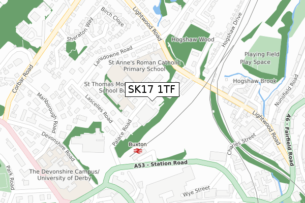
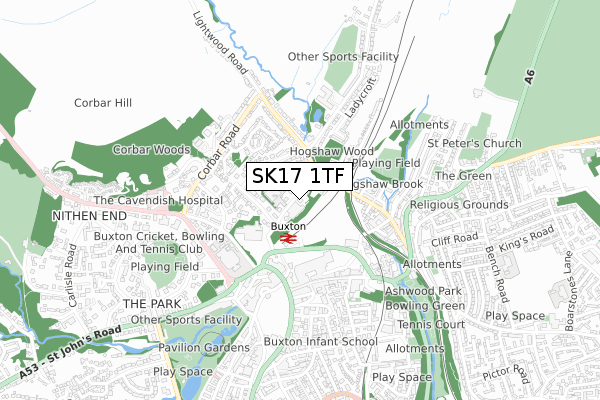
SK17 1TF is located in the Corbar electoral ward, within the local authority district of High Peak and the English Parliamentary constituency of High Peak. The Sub Integrated Care Board (ICB) Location is NHS Derby and Derbyshire ICB - 15M and the police force is Derbyshire. This postcode has been in use since October 2017.


GetTheData
Source: OS Open Zoomstack (Ordnance Survey)
Licence: Open Government Licence (requires attribution)
Attribution: Contains OS data © Crown copyright and database right 2024
Source: Open Postcode Geo
Licence: Open Government Licence (requires attribution)
Attribution: Contains OS data © Crown copyright and database right 2024; Contains Royal Mail data © Royal Mail copyright and database right 2024; Source: Office for National Statistics licensed under the Open Government Licence v.3.0
| Easting | 405947 |
| Northing | 373922 |
| Latitude | 53.262281 |
| Longitude | -1.912304 |
GetTheData
Source: Open Postcode Geo
Licence: Open Government Licence
| Country | England |
| Postcode District | SK17 |
➜ See where SK17 is on a map | |
GetTheData
Source: Land Registry Price Paid Data
Licence: Open Government Licence
| Ward | Corbar |
| Constituency | High Peak |
GetTheData
Source: ONS Postcode Database
Licence: Open Government Licence
| St Annes School (Lightwood Road) | Buxton | 142m |
| Lascelles Road | Buxton | 177m |
| Railway Station (Station Road) | Buxton | 202m |
| Lansdowne Road | Buxton | 209m |
| Lansdowne Road | Buxton | 210m |
| Buxton Station | 0.2km |
| Dove Holes Station | 4.5km |
GetTheData
Source: NaPTAN
Licence: Open Government Licence
GetTheData
Source: ONS Postcode Database
Licence: Open Government Licence


➜ Get more ratings from the Food Standards Agency
GetTheData
Source: Food Standards Agency
Licence: FSA terms & conditions
| Last Collection | |||
|---|---|---|---|
| Location | Mon-Fri | Sat | Distance |
| Palace Road | 18:15 | 13:00 | 35m |
| Quadrant | 18:00 | 12:30 | 315m |
| Brown Edge Road | 17:45 | 11:30 | 390m |
GetTheData
Source: Dracos
Licence: Creative Commons Attribution-ShareAlike
The below table lists the International Territorial Level (ITL) codes (formerly Nomenclature of Territorial Units for Statistics (NUTS) codes) and Local Administrative Units (LAU) codes for SK17 1TF:
| ITL 1 Code | Name |
|---|---|
| TLF | East Midlands (England) |
| ITL 2 Code | Name |
| TLF1 | Derbyshire and Nottinghamshire |
| ITL 3 Code | Name |
| TLF13 | South and West Derbyshire |
| LAU 1 Code | Name |
| E07000037 | High Peak |
GetTheData
Source: ONS Postcode Directory
Licence: Open Government Licence
The below table lists the Census Output Area (OA), Lower Layer Super Output Area (LSOA), and Middle Layer Super Output Area (MSOA) for SK17 1TF:
| Code | Name | |
|---|---|---|
| OA | E00099790 | |
| LSOA | E01019722 | High Peak 010D |
| MSOA | E02004102 | High Peak 010 |
GetTheData
Source: ONS Postcode Directory
Licence: Open Government Licence
| SK17 6AF | Palace Road | 94m |
| SK17 7AW | Railway Terrace | 128m |
| SK17 7AN | Lightwood Road | 156m |
| SK17 6GH | Palace Mews | 175m |
| SK17 6RA | Lascelles Road | 197m |
| SK17 6RR | Lansdowne Road | 221m |
| SK17 7AP | Lightwood Road | 243m |
| SK17 7AL | Brown Edge Road | 255m |
| SK17 6AH | Station Approach | 257m |
| SK17 6FD | Aspen Close | 265m |
GetTheData
Source: Open Postcode Geo; Land Registry Price Paid Data
Licence: Open Government Licence