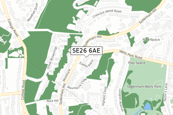
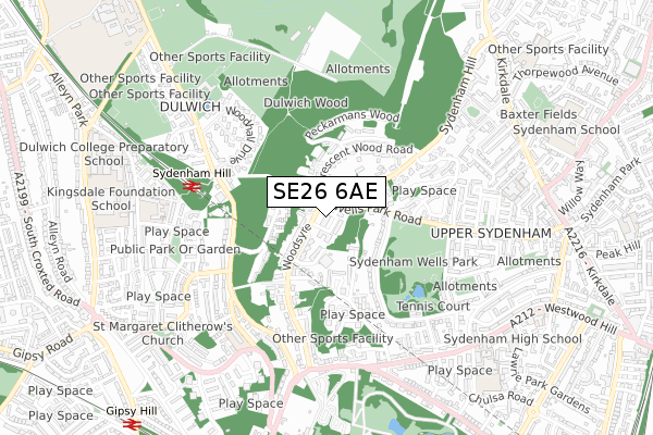
SE26 6AE is located in the Sydenham electoral ward, within the London borough of Lewisham and the English Parliamentary constituency of Lewisham West and Penge. The Sub Integrated Care Board (ICB) Location is NHS South East London ICB - 72Q and the police force is Metropolitan Police. This postcode has been in use since July 2018.


GetTheData
Source: OS Open Zoomstack (Ordnance Survey)
Licence: Open Government Licence (requires attribution)
Attribution: Contains OS data © Crown copyright and database right 2024
Source: Open Postcode Geo
Licence: Open Government Licence (requires attribution)
Attribution: Contains OS data © Crown copyright and database right 2024; Contains Royal Mail data © Royal Mail copyright and database right 2024; Source: Office for National Statistics licensed under the Open Government Licence v.3.0
| Easting | 534066 |
| Northing | 172031 |
| Latitude | 51.431429 |
| Longitude | -0.072800 |
GetTheData
Source: Open Postcode Geo
Licence: Open Government Licence
| Country | England |
| Postcode District | SE26 |
➜ See where SE26 is on a map ➜ Where is London? | |
GetTheData
Source: Land Registry Price Paid Data
Licence: Open Government Licence
| Ward | Sydenham |
| Constituency | Lewisham West And Penge |
GetTheData
Source: ONS Postcode Database
Licence: Open Government Licence
| Wells Park Road (Sydenham Hill) | Dulwich | 40m |
| Wells Park Road (Sydenham Hill) | Dulwich | 53m |
| Canbury Mews (Wells Park Road) | Upper Sydenham | 115m |
| Canbury Mews (Wells Park Road) | Upper Sydenham | 162m |
| Droitwich Close (Sydenham Hill) | Dulwich | 224m |
| Sydenham Hill Station | 0.5km |
| Gipsy Hill Station | 1.1km |
| Sydenham Station | 1.4km |
GetTheData
Source: NaPTAN
Licence: Open Government Licence
| Percentage of properties with Next Generation Access | 100.0% |
| Percentage of properties with Superfast Broadband | 100.0% |
| Percentage of properties with Ultrafast Broadband | 100.0% |
| Percentage of properties with Full Fibre Broadband | 0.0% |
Superfast Broadband is between 30Mbps and 300Mbps
Ultrafast Broadband is > 300Mbps
| Median download speed | 39.8Mbps |
| Average download speed | 40.8Mbps |
| Maximum download speed | 62.62Mbps |
| Median upload speed | 9.3Mbps |
| Average upload speed | 8.6Mbps |
| Maximum upload speed | 16.52Mbps |
| Percentage of properties unable to receive 2Mbps | 0.0% |
| Percentage of properties unable to receive 5Mbps | 0.0% |
| Percentage of properties unable to receive 10Mbps | 0.0% |
| Percentage of properties unable to receive 30Mbps | 0.0% |
GetTheData
Source: Ofcom
Licence: Ofcom Terms of Use (requires attribution)
GetTheData
Source: ONS Postcode Database
Licence: Open Government Licence


➜ Get more ratings from the Food Standards Agency
GetTheData
Source: Food Standards Agency
Licence: FSA terms & conditions
| Last Collection | |||
|---|---|---|---|
| Location | Mon-Fri | Sat | Distance |
| 24 Sydenham Hill | 17:30 | 12:00 | 55m |
| 111 Longton Road | 17:30 | 12:00 | 238m |
| Crescent Wood Road | 17:30 | 12:00 | 405m |
GetTheData
Source: Dracos
Licence: Creative Commons Attribution-ShareAlike
The below table lists the International Territorial Level (ITL) codes (formerly Nomenclature of Territorial Units for Statistics (NUTS) codes) and Local Administrative Units (LAU) codes for SE26 6AE:
| ITL 1 Code | Name |
|---|---|
| TLI | London |
| ITL 2 Code | Name |
| TLI4 | Inner London - East |
| ITL 3 Code | Name |
| TLI44 | Lewisham and Southwark |
| LAU 1 Code | Name |
| E09000023 | Lewisham |
GetTheData
Source: ONS Postcode Directory
Licence: Open Government Licence
The below table lists the Census Output Area (OA), Lower Layer Super Output Area (LSOA), and Middle Layer Super Output Area (MSOA) for SE26 6AE:
| Code | Name | |
|---|---|---|
| OA | E00016874 | |
| LSOA | E01003330 | Lewisham 033B |
| MSOA | E02000685 | Lewisham 033 |
GetTheData
Source: ONS Postcode Directory
Licence: Open Government Licence
| SE26 6RR | Sydenham Hill | 81m |
| SE26 6ST | Crouchmans Close | 109m |
| SE26 6TJ | Canbury Mews | 125m |
| SE26 6SS | Sydenham Hill | 140m |
| SE26 6TL | Droitwich Close | 162m |
| SE26 6YB | Vigilant Close | 168m |
| SE26 6TW | Droitwich Close | 176m |
| SE21 7HP | Great Brownings | 177m |
| SE26 6RQ | Wells Park Road | 220m |
| SE26 6RT | Crescent Wood Road | 223m |
GetTheData
Source: Open Postcode Geo; Land Registry Price Paid Data
Licence: Open Government Licence