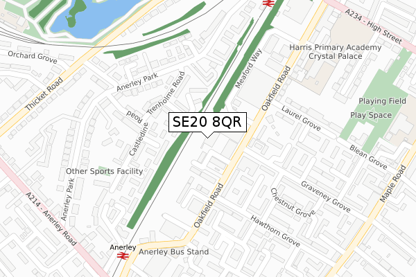
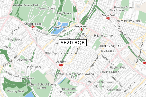
SE20 8QR is located in the Penge & Cator electoral ward, within the London borough of Bromley and the English Parliamentary constituency of Lewisham West and Penge. The Sub Integrated Care Board (ICB) Location is NHS South East London ICB - 72Q and the police force is Metropolitan Police. This postcode has been in use since January 1980.


GetTheData
Source: OS Open Zoomstack (Ordnance Survey)
Licence: Open Government Licence (requires attribution)
Attribution: Contains OS data © Crown copyright and database right 2025
Source: Open Postcode Geo
Licence: Open Government Licence (requires attribution)
Attribution: Contains OS data © Crown copyright and database right 2025; Contains Royal Mail data © Royal Mail copyright and database right 2025; Source: Office for National Statistics licensed under the Open Government Licence v.3.0
| Easting | 534820 |
| Northing | 170180 |
| Latitude | 51.414616 |
| Longitude | -0.062664 |
GetTheData
Source: Open Postcode Geo
Licence: Open Government Licence
| Country | England |
| Postcode District | SE20 |
➜ See where SE20 is on a map ➜ Where is Penge? | |
GetTheData
Source: Land Registry Price Paid Data
Licence: Open Government Licence
Elevation or altitude of SE20 8QR as distance above sea level:
| Metres | Feet | |
|---|---|---|
| Elevation | 50m | 164ft |
Elevation is measured from the approximate centre of the postcode, to the nearest point on an OS contour line from OS Terrain 50, which has contour spacing of ten vertical metres.
➜ How high above sea level am I? Find the elevation of your current position using your device's GPS.
GetTheData
Source: Open Postcode Elevation
Licence: Open Government Licence
| Ward | Penge & Cator |
| Constituency | Lewisham West And Penge |
GetTheData
Source: ONS Postcode Database
Licence: Open Government Licence
| Trenholme Road (Anerley Park) | Penge & Sydenham | 198m |
| Jasmine Grove (Anerley Station Road) | Anerley | 273m |
| Castledine Road (Anerley Park) | Anerley | 289m |
| Penge West Station (Anerley Park) | Penge & Sydenham | 323m |
| Castledine Road (Anerley Park) | Anerley | 325m |
| Avenue Road Tram Stop (Avenue Road) | Penge & Sydenham | 1,265m |
| Birkbeck Tram Stop (Elmers End Road) | Anerley | 1,299m |
| Beckenham Road Tram Stop (Beckenham Road) | Penge & Sydenham | 1,455m |
| Penge West Station | 0.4km |
| Anerley Station | 0.4km |
| Penge East Station | 0.8km |
GetTheData
Source: NaPTAN
Licence: Open Government Licence
GetTheData
Source: ONS Postcode Database
Licence: Open Government Licence


➜ Get more ratings from the Food Standards Agency
GetTheData
Source: Food Standards Agency
Licence: FSA terms & conditions
| Last Collection | |||
|---|---|---|---|
| Location | Mon-Fri | Sat | Distance |
| Oakfield Road | 17:30 | 12:00 | 76m |
| Anerley Park | 17:30 | 12:00 | 281m |
| Laurel Grove | 17:30 | 12:00 | 282m |
GetTheData
Source: Dracos
Licence: Creative Commons Attribution-ShareAlike
The below table lists the International Territorial Level (ITL) codes (formerly Nomenclature of Territorial Units for Statistics (NUTS) codes) and Local Administrative Units (LAU) codes for SE20 8QR:
| ITL 1 Code | Name |
|---|---|
| TLI | London |
| ITL 2 Code | Name |
| TLI6 | Outer London - South |
| ITL 3 Code | Name |
| TLI61 | Bromley |
| LAU 1 Code | Name |
| E09000006 | Bromley |
GetTheData
Source: ONS Postcode Directory
Licence: Open Government Licence
The below table lists the Census Output Area (OA), Lower Layer Super Output Area (LSOA), and Middle Layer Super Output Area (MSOA) for SE20 8QR:
| Code | Name | |
|---|---|---|
| OA | E00003928 | |
| LSOA | E01000800 | Bromley 009E |
| MSOA | E02000135 | Bromley 009 |
GetTheData
Source: ONS Postcode Directory
Licence: Open Government Licence
| SE20 8PR | Trenholme Close | 103m |
| SE20 8QP | Oakfield Road | 108m |
| SE20 8UY | Woodbine Grove | 110m |
| SE20 8PW | Trenholme Terrace | 112m |
| SE20 8QW | Oakfield Road | 118m |
| SE20 8QZ | Chalkenden Close | 120m |
| SE20 8LG | Westmoreland Terrace | 126m |
| SE20 8UU | Cumberland Terrace | 148m |
| SE20 8RG | Oakfield Road | 150m |
| SE20 8NN | Anerley Park | 160m |
GetTheData
Source: Open Postcode Geo; Land Registry Price Paid Data
Licence: Open Government Licence