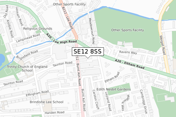
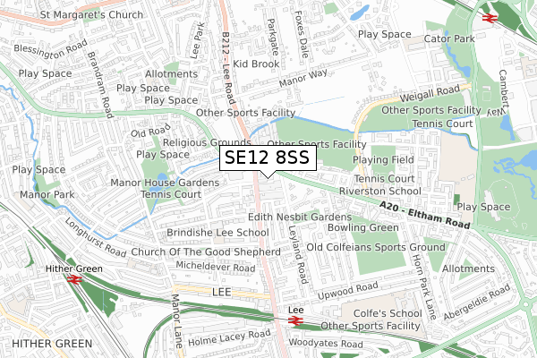
SE12 8SS lies on Leegate in London. SE12 8SS is located in the Lee Green electoral ward, within the London borough of Lewisham and the English Parliamentary constituency of Lewisham East. The Sub Integrated Care Board (ICB) Location is NHS South East London ICB - 72Q and the police force is Metropolitan Police. This postcode has been in use since January 1980.


GetTheData
Source: OS Open Zoomstack (Ordnance Survey)
Licence: Open Government Licence (requires attribution)
Attribution: Contains OS data © Crown copyright and database right 2025
Source: Open Postcode Geo
Licence: Open Government Licence (requires attribution)
Attribution: Contains OS data © Crown copyright and database right 2025; Contains Royal Mail data © Royal Mail copyright and database right 2025; Source: Office for National Statistics licensed under the Open Government Licence v.3.0
| Easting | 539915 |
| Northing | 174890 |
| Latitude | 51.455707 |
| Longitude | 0.012387 |
GetTheData
Source: Open Postcode Geo
Licence: Open Government Licence
| Street | Leegate |
| Town/City | London |
| Country | England |
| Postcode District | SE12 |
➜ See where SE12 is on a map ➜ Where is London? | |
GetTheData
Source: Land Registry Price Paid Data
Licence: Open Government Licence
Elevation or altitude of SE12 8SS as distance above sea level:
| Metres | Feet | |
|---|---|---|
| Elevation | 20m | 66ft |
Elevation is measured from the approximate centre of the postcode, to the nearest point on an OS contour line from OS Terrain 50, which has contour spacing of ten vertical metres.
➜ How high above sea level am I? Find the elevation of your current position using your device's GPS.
GetTheData
Source: Open Postcode Elevation
Licence: Open Government Licence
| Ward | Lee Green |
| Constituency | Lewisham East |
GetTheData
Source: ONS Postcode Database
Licence: Open Government Licence
| Lee Green | Lee | 52m |
| Burnt Ash Road Lee Road | Lee | 57m |
| Burnt Ash Road Lee Road | Lee | 85m |
| Lee Green The Old Tigers Head | Lee | 186m |
| Cambridge Drive (Eltham Road) | Lee | 256m |
| Lee Station | 0.7km |
| Hither Green Station | 1km |
| Blackheath Station | 1.1km |
GetTheData
Source: NaPTAN
Licence: Open Government Licence
| Median download speed | 47.4Mbps |
| Average download speed | 45.8Mbps |
| Maximum download speed | 80.00Mbps |
| Median upload speed | 16.4Mbps |
| Average upload speed | 11.0Mbps |
| Maximum upload speed | 20.00Mbps |
GetTheData
Source: Ofcom
Licence: Ofcom Terms of Use (requires attribution)
GetTheData
Source: ONS Postcode Database
Licence: Open Government Licence


➜ Get more ratings from the Food Standards Agency
GetTheData
Source: Food Standards Agency
Licence: FSA terms & conditions
| Last Collection | |||
|---|---|---|---|
| Location | Mon-Fri | Sat | Distance |
| 151 - 157 Lee Road | 17:30 | 12:00 | 146m |
| Lee High Road | 17:30 | 12:00 | 273m |
| Eltham Road | 17:30 | 12:00 | 285m |
GetTheData
Source: Dracos
Licence: Creative Commons Attribution-ShareAlike
The below table lists the International Territorial Level (ITL) codes (formerly Nomenclature of Territorial Units for Statistics (NUTS) codes) and Local Administrative Units (LAU) codes for SE12 8SS:
| ITL 1 Code | Name |
|---|---|
| TLI | London |
| ITL 2 Code | Name |
| TLI4 | Inner London - East |
| ITL 3 Code | Name |
| TLI44 | Lewisham and Southwark |
| LAU 1 Code | Name |
| E09000023 | Lewisham |
GetTheData
Source: ONS Postcode Directory
Licence: Open Government Licence
The below table lists the Census Output Area (OA), Lower Layer Super Output Area (LSOA), and Middle Layer Super Output Area (MSOA) for SE12 8SS:
| Code | Name | |
|---|---|---|
| OA | E00016599 | |
| LSOA | E01003286 | Lewisham 013D |
| MSOA | E02000665 | Lewisham 013 |
GetTheData
Source: ONS Postcode Directory
Licence: Open Government Licence
| SE12 8SR | Leegate | 39m |
| SE12 8RG | Burnt Ash Road | 42m |
| SE12 8DU | Leyland Road | 56m |
| SE12 8ES | Eltham Road | 82m |
| SE12 8PZ | Burnt Ash Road | 101m |
| SE12 8PQ | Taunton Road | 110m |
| SE3 9DL | Lee Road | 111m |
| SE12 8TH | Eltham Road | 117m |
| SE12 8TG | Carston Close | 122m |
| SE12 8BQ | St Peters Court | 127m |
GetTheData
Source: Open Postcode Geo; Land Registry Price Paid Data
Licence: Open Government Licence