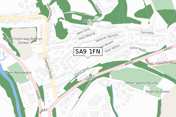
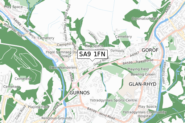
SA9 1FN is located in the Cwm-twrch electoral ward, within the unitary authority of Powys and the Welsh Parliamentary constituency of Brecon and Radnorshire. The Local Health Board is Powys Teaching and the police force is Dyfed-Powys. This postcode has been in use since October 2019.


GetTheData
Source: OS Open Zoomstack (Ordnance Survey)
Licence: Open Government Licence (requires attribution)
Attribution: Contains OS data © Crown copyright and database right 2025
Source: Open Postcode Geo
Licence: Open Government Licence (requires attribution)
Attribution: Contains OS data © Crown copyright and database right 2025; Contains Royal Mail data © Royal Mail copyright and database right 2025; Source: Office for National Statistics licensed under the Open Government Licence v.3.0
| Easting | 277647 |
| Northing | 209804 |
| Latitude | 51.773500 |
| Longitude | -3.774753 |
GetTheData
Source: Open Postcode Geo
Licence: Open Government Licence
| Country | Wales |
| Postcode District | SA9 |
➜ See where SA9 is on a map ➜ Where is Gurnos? | |
GetTheData
Source: Land Registry Price Paid Data
Licence: Open Government Licence
| Ward | Cwm-twrch |
| Constituency | Brecon And Radnorshire |
GetTheData
Source: ONS Postcode Database
Licence: Open Government Licence
| Primary School (Gorof Road) | Gurnos | 71m |
| Primary School (Gorof Road) | Gurnos | 80m |
| Square (Cwmphil Road) | Gurnos | 248m |
| Square (Cwmphil Road) | Gurnos | 253m |
| Heol Meurig (Cwmphil Road) | Gurnos | 254m |
GetTheData
Source: NaPTAN
Licence: Open Government Licence
GetTheData
Source: ONS Postcode Database
Licence: Open Government Licence


➜ Get more ratings from the Food Standards Agency
GetTheData
Source: Food Standards Agency
Licence: FSA terms & conditions
| Last Collection | |||
|---|---|---|---|
| Location | Mon-Fri | Sat | Distance |
| Gurnos P O | 17:30 | 12:00 | 830m |
| Ystradgynlais P O | 17:30 | 12:00 | 1,200m |
| Lower Cwmtwrch P O | 17:00 | 10:45 | 1,245m |
GetTheData
Source: Dracos
Licence: Creative Commons Attribution-ShareAlike
The below table lists the International Territorial Level (ITL) codes (formerly Nomenclature of Territorial Units for Statistics (NUTS) codes) and Local Administrative Units (LAU) codes for SA9 1FN:
| ITL 1 Code | Name |
|---|---|
| TLL | Wales |
| ITL 2 Code | Name |
| TLL2 | East Wales |
| ITL 3 Code | Name |
| TLL24 | Powys |
| LAU 1 Code | Name |
| W06000023 | Powys |
GetTheData
Source: ONS Postcode Directory
Licence: Open Government Licence
The below table lists the Census Output Area (OA), Lower Layer Super Output Area (LSOA), and Middle Layer Super Output Area (MSOA) for SA9 1FN:
| Code | Name | |
|---|---|---|
| OA | W00002327 | |
| LSOA | W01001899 | Powys 021F |
| MSOA | W02000416 | Powys 021 |
GetTheData
Source: ONS Postcode Directory
Licence: Open Government Licence
| SA9 1EG | New Houses | 76m |
| SA9 1EF | Spencer Terrace | 110m |
| SA9 1EH | Gorof Road | 127m |
| SA9 1DJ | Heol Meurig | 132m |
| SA9 1EE | Spencer Terrace | 135m |
| SA9 1EQ | School Road | 138m |
| SA9 1EA | Heol Aaron | 148m |
| SA9 1DY | Gorof Road | 149m |
| SA9 1EB | Heol Abram | 156m |
| SA9 1DL | Heol Gron | 176m |
GetTheData
Source: Open Postcode Geo; Land Registry Price Paid Data
Licence: Open Government Licence