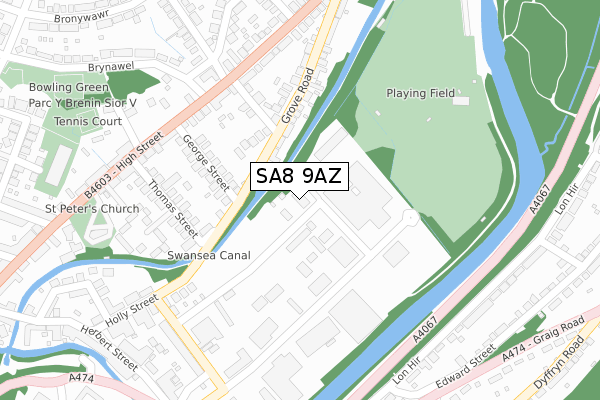
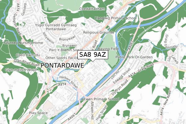
SA8 9AZ is located in the Pontardawe electoral ward, within the unitary authority of Neath Port Talbot and the Welsh Parliamentary constituency of Neath. The Local Health Board is Swansea Bay University and the police force is South Wales. This postcode has been in use since December 2018.


GetTheData
Source: OS Open Zoomstack (Ordnance Survey)
Licence: Open Government Licence (requires attribution)
Attribution: Contains OS data © Crown copyright and database right 2024
Source: Open Postcode Geo
Licence: Open Government Licence (requires attribution)
Attribution: Contains OS data © Crown copyright and database right 2024; Contains Royal Mail data © Royal Mail copyright and database right 2024; Source: Office for National Statistics licensed under the Open Government Licence v.3.0
| Easting | 272604 |
| Northing | 204189 |
| Latitude | 51.721915 |
| Longitude | -3.845747 |
GetTheData
Source: Open Postcode Geo
Licence: Open Government Licence
| Country | Wales |
| Postcode District | SA8 |
➜ See where SA8 is on a map ➜ Where is Pontardawe? | |
GetTheData
Source: Land Registry Price Paid Data
Licence: Open Government Licence
| Ward | Pontardawe |
| Constituency | Neath |
GetTheData
Source: ONS Postcode Database
Licence: Open Government Licence
| The Ivy Bush (Brecon Road) | Pontardawe | 229m |
| Woodland Court (Brecon Road) | Pontardawe | 248m |
| Ffordd Silkin (Brynawel) | Pontardawe | 262m |
| Ffordd Silkin (Brynawel) | Pontardawe | 286m |
| Depot (Tawe Terrace) | Pontardawe | 304m |
GetTheData
Source: NaPTAN
Licence: Open Government Licence
GetTheData
Source: ONS Postcode Database
Licence: Open Government Licence


➜ Get more ratings from the Food Standards Agency
GetTheData
Source: Food Standards Agency
Licence: FSA terms & conditions
| Last Collection | |||
|---|---|---|---|
| Location | Mon-Fri | Sat | Distance |
| Public Hall | 18:00 | 12:15 | 397m |
| Pontardawe P O | 18:00 | 11:30 | 616m |
| Tesco Pontardawe | 17:45 | 12:30 | 925m |
GetTheData
Source: Dracos
Licence: Creative Commons Attribution-ShareAlike
The below table lists the International Territorial Level (ITL) codes (formerly Nomenclature of Territorial Units for Statistics (NUTS) codes) and Local Administrative Units (LAU) codes for SA8 9AZ:
| ITL 1 Code | Name |
|---|---|
| TLL | Wales |
| ITL 2 Code | Name |
| TLL1 | West Wales and The Valleys |
| ITL 3 Code | Name |
| TLL17 | Bridgend and Neath Port Talbot |
| LAU 1 Code | Name |
| W06000012 | Neath Port Talbot |
GetTheData
Source: ONS Postcode Directory
Licence: Open Government Licence
The below table lists the Census Output Area (OA), Lower Layer Super Output Area (LSOA), and Middle Layer Super Output Area (MSOA) for SA8 9AZ:
| Code | Name | |
|---|---|---|
| OA | W00005037 | |
| LSOA | W01000946 | Neath Port Talbot 004B |
| MSOA | W02000202 | Neath Port Talbot 004 |
GetTheData
Source: ONS Postcode Directory
Licence: Open Government Licence
| SA8 4HQ | George Street | 153m |
| SA8 4HE | Arthur Terrace | 158m |
| SA8 4HJ | Woodland Road | 183m |
| SA8 4HH | Grove Road | 190m |
| SA8 4HB | Mount Pleasant | 193m |
| SA8 4EN | Alloy Industrial Estate | 208m |
| SA8 4PW | Brecon Road | 221m |
| SA8 4JN | High Street | 231m |
| SA8 4HD | Thomas Street | 233m |
| SA8 4PA | Brecon Road | 266m |
GetTheData
Source: Open Postcode Geo; Land Registry Price Paid Data
Licence: Open Government Licence