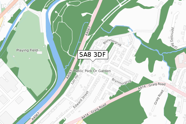
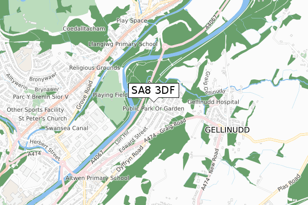
SA8 3DF is located in the Allt-wen electoral ward, within the unitary authority of Neath Port Talbot and the Welsh Parliamentary constituency of Neath. The Local Health Board is Swansea Bay University and the police force is South Wales. This postcode has been in use since September 2019.


GetTheData
Source: OS Open Zoomstack (Ordnance Survey)
Licence: Open Government Licence (requires attribution)
Attribution: Contains OS data © Crown copyright and database right 2025
Source: Open Postcode Geo
Licence: Open Government Licence (requires attribution)
Attribution: Contains OS data © Crown copyright and database right 2025; Contains Royal Mail data © Royal Mail copyright and database right 2025; Source: Office for National Statistics licensed under the Open Government Licence v.3.0
| Easting | 273161 |
| Northing | 204304 |
| Latitude | 51.723075 |
| Longitude | -3.837729 |
GetTheData
Source: Open Postcode Geo
Licence: Open Government Licence
| Country | Wales |
| Postcode District | SA8 |
➜ See where SA8 is on a map ➜ Where is Alltwen? | |
GetTheData
Source: Land Registry Price Paid Data
Licence: Open Government Licence
| Ward | Allt-wen |
| Constituency | Neath |
GetTheData
Source: ONS Postcode Database
Licence: Open Government Licence
1, CLOS GELLI WEN, ALLTWEN, SWANSEA, SA8 3DF 2020 17 SEP £216,000 |
1, CLOS GELLI WEN, ALLTWEN, SWANSEA, SA8 3DF 2020 17 SEP £191,524 |
31, CLOS GELLI WEN, ALLTWEN, SWANSEA, SA8 3DF 2019 28 OCT £191,524 |
31, CLOS GELLI WEN, ALLTWEN, SWANSEA, SA8 3DF 2019 28 OCT £225,000 |
GetTheData
Source: HM Land Registry Price Paid Data
Licence: Contains HM Land Registry data © Crown copyright and database right 2025. This data is licensed under the Open Government Licence v3.0.
| Dyffryn Road (Graig Road) | Alltwen | 305m |
| Danygraig Chapel (Graig Road) | Alltwen | 394m |
| Danygraig Chapel (Graig Road) | Pen Yr Alltwen | 431m |
| Capel Bryn Seion (Graig Road) | Gelli-nudd | 461m |
| Danybryn (Brecon Road) | Craig Llangiwg | 526m |
GetTheData
Source: NaPTAN
Licence: Open Government Licence
GetTheData
Source: ONS Postcode Database
Licence: Open Government Licence


➜ Get more ratings from the Food Standards Agency
GetTheData
Source: Food Standards Agency
Licence: FSA terms & conditions
| Last Collection | |||
|---|---|---|---|
| Location | Mon-Fri | Sat | Distance |
| Ynysmeudwy P O | 17:00 | 12:00 | 862m |
| Public Hall | 18:00 | 12:15 | 942m |
| Pontardawe P O | 18:00 | 11:30 | 1,180m |
GetTheData
Source: Dracos
Licence: Creative Commons Attribution-ShareAlike
The below table lists the International Territorial Level (ITL) codes (formerly Nomenclature of Territorial Units for Statistics (NUTS) codes) and Local Administrative Units (LAU) codes for SA8 3DF:
| ITL 1 Code | Name |
|---|---|
| TLL | Wales |
| ITL 2 Code | Name |
| TLL1 | West Wales and The Valleys |
| ITL 3 Code | Name |
| TLL17 | Bridgend and Neath Port Talbot |
| LAU 1 Code | Name |
| W06000012 | Neath Port Talbot |
GetTheData
Source: ONS Postcode Directory
Licence: Open Government Licence
The below table lists the Census Output Area (OA), Lower Layer Super Output Area (LSOA), and Middle Layer Super Output Area (MSOA) for SA8 3DF:
| Code | Name | |
|---|---|---|
| OA | W00004734 | |
| LSOA | W01000888 | Neath Port Talbot 004A |
| MSOA | W02000202 | Neath Port Talbot 004 |
GetTheData
Source: ONS Postcode Directory
Licence: Open Government Licence
| SA8 3DP | Bryn Morgrug | 141m |
| SA8 3BE | Bryn Morgrug | 154m |
| SA8 3DG | Bryn Morgrug | 160m |
| SA8 3DD | Edward Street | 164m |
| SA8 3DE | Lon Hir | 254m |
| SA8 3DB | Edward Street | 347m |
| SA8 3DS | Graig Road | 458m |
| SA8 3DX | Lon Catwg | 475m |
| SA8 3DA | Graig Road | 497m |
| SA8 3HP | Graig Gellinudd | 511m |
GetTheData
Source: Open Postcode Geo; Land Registry Price Paid Data
Licence: Open Government Licence