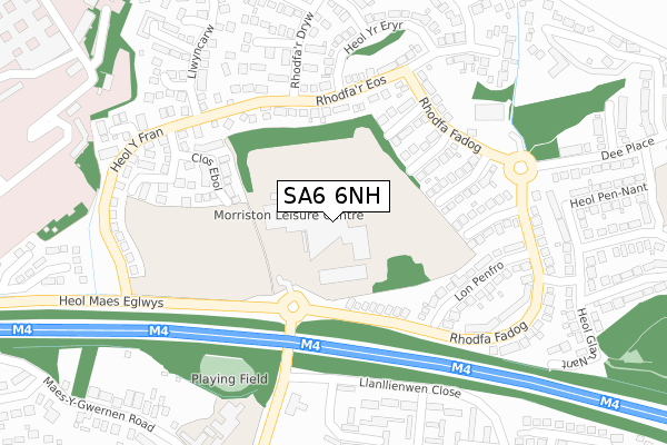
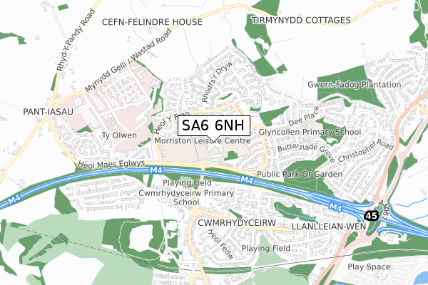
SA6 6NH is located in the Morriston electoral ward, within the unitary authority of Swansea and the Welsh Parliamentary constituency of Swansea East. The Local Health Board is Swansea Bay University and the police force is South Wales. This postcode has been in use since January 1980.


GetTheData
Source: OS Open Zoomstack (Ordnance Survey)
Licence: Open Government Licence (requires attribution)
Attribution: Contains OS data © Crown copyright and database right 2025
Source: Open Postcode Geo
Licence: Open Government Licence (requires attribution)
Attribution: Contains OS data © Crown copyright and database right 2025; Contains Royal Mail data © Royal Mail copyright and database right 2025; Source: Office for National Statistics licensed under the Open Government Licence v.3.0
| Easting | 266896 |
| Northing | 199861 |
| Latitude | 51.681696 |
| Longitude | -3.926683 |
GetTheData
Source: Open Postcode Geo
Licence: Open Government Licence
| Country | Wales |
| Postcode District | SA6 |
➜ See where SA6 is on a map ➜ Where is Swansea? | |
GetTheData
Source: Land Registry Price Paid Data
Licence: Open Government Licence
Elevation or altitude of SA6 6NH as distance above sea level:
| Metres | Feet | |
|---|---|---|
| Elevation | 70m | 230ft |
Elevation is measured from the approximate centre of the postcode, to the nearest point on an OS contour line from OS Terrain 50, which has contour spacing of ten vertical metres.
➜ How high above sea level am I? Find the elevation of your current position using your device's GPS.
GetTheData
Source: Open Postcode Elevation
Licence: Open Government Licence
| Ward | Morriston |
| Constituency | Swansea East |
GetTheData
Source: ONS Postcode Database
Licence: Open Government Licence
| Morriston Comprehensive School (Heol Maes Eglwys) | Cwmrhydyceirw | 122m |
| Morriston School (Rhodfa Fadog) | Ynysforgan | 190m |
| Morriston School (Heol Maes Eglwys) | Cwmrhydyceirw | 203m |
| Rhodfa Fadog | Parc Gwernfadog | 213m |
| Cwrt Merlyn (Rhodfa'r Dryw) | Parc Gwernfadog | 216m |
| Llansamlet Station | 3.7km |
GetTheData
Source: NaPTAN
Licence: Open Government Licence
GetTheData
Source: ONS Postcode Database
Licence: Open Government Licence


➜ Get more ratings from the Food Standards Agency
GetTheData
Source: Food Standards Agency
Licence: FSA terms & conditions
| Last Collection | |||
|---|---|---|---|
| Location | Mon-Fri | Sat | Distance |
| Rhodfa Fadog | 17:30 | 12:15 | 229m |
| Maes Y Gwernen Road | 17:30 | 11:15 | 511m |
| Butterslade Gro | 17:45 | 12:15 | 691m |
GetTheData
Source: Dracos
Licence: Creative Commons Attribution-ShareAlike
The below table lists the International Territorial Level (ITL) codes (formerly Nomenclature of Territorial Units for Statistics (NUTS) codes) and Local Administrative Units (LAU) codes for SA6 6NH:
| ITL 1 Code | Name |
|---|---|
| TLL | Wales |
| ITL 2 Code | Name |
| TLL1 | West Wales and The Valleys |
| ITL 3 Code | Name |
| TLL18 | Swansea |
| LAU 1 Code | Name |
| W06000011 | Swansea |
GetTheData
Source: ONS Postcode Directory
Licence: Open Government Licence
The below table lists the Census Output Area (OA), Lower Layer Super Output Area (LSOA), and Middle Layer Super Output Area (MSOA) for SA6 6NH:
| Code | Name | |
|---|---|---|
| OA | W00004322 | |
| LSOA | W01000807 | Swansea 003B |
| MSOA | W02000170 | Swansea 003 |
GetTheData
Source: ONS Postcode Directory
Licence: Open Government Licence
| SA6 6NG | Rhodfa Fadog | 148m |
| SA6 6TF | Rhodfar Eos | 168m |
| SA6 6NZ | Cwrt Yr Aeron | 176m |
| SA6 6PT | Clos Y Bont Faen | 197m |
| SA6 6RD | Clos Crucywel | 201m |
| SA6 6TP | Clos Ebol | 203m |
| SA6 6RB | Clos Rhymni | 221m |
| SA6 6TQ | Cwrt Merlyn | 235m |
| SA6 6TL | Heol Y Fran | 240m |
| SA6 6LQ | Rhodfa Fadog | 240m |
GetTheData
Source: Open Postcode Geo; Land Registry Price Paid Data
Licence: Open Government Licence