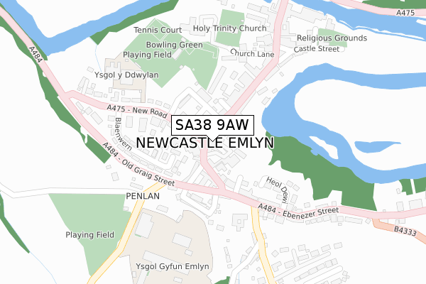
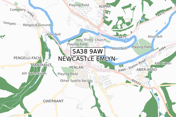
SA38 9AW lies on Emlyn Square in Newcastle Emlyn. SA38 9AW is located in the Cenarth and Llangeler electoral ward, within the unitary authority of Carmarthenshire and the Welsh Parliamentary constituency of Carmarthen East and Dinefwr. The Local Health Board is Hywel Dda University and the police force is Dyfed-Powys. This postcode has been in use since August 2019.


GetTheData
Source: OS Open Zoomstack (Ordnance Survey)
Licence: Open Government Licence (requires attribution)
Attribution: Contains OS data © Crown copyright and database right 2025
Source: Open Postcode Geo
Licence: Open Government Licence (requires attribution)
Attribution: Contains OS data © Crown copyright and database right 2025; Contains Royal Mail data © Royal Mail copyright and database right 2025; Source: Office for National Statistics licensed under the Open Government Licence v.3.0
| Easting | 230737 |
| Northing | 240513 |
| Latitude | 52.037126 |
| Longitude | -4.469162 |
GetTheData
Source: Open Postcode Geo
Licence: Open Government Licence
| Street | Emlyn Square |
| Town/City | Newcastle Emlyn |
| Country | Wales |
| Postcode District | SA38 |
➜ See where SA38 is on a map ➜ Where is Newcastle Emlyn? | |
GetTheData
Source: Land Registry Price Paid Data
Licence: Open Government Licence
| Ward | Cenarth And Llangeler |
| Constituency | Carmarthen East And Dinefwr |
GetTheData
Source: ONS Postcode Database
Licence: Open Government Licence
| Cattle Market (New Road) | Newcastle Emlyn | 93m |
| Cattle Market (New Road) | Newcastle Emlyn | 98m |
| Sycamore Street | Newcastle Emlyn | 225m |
| Ysgol Emlyn (Main Road) | Newcastle Emlyn | 301m |
| Ysgol Emlyn (Main Road) | Newcastle Emlyn | 312m |
GetTheData
Source: NaPTAN
Licence: Open Government Licence
GetTheData
Source: ONS Postcode Database
Licence: Open Government Licence


➜ Get more ratings from the Food Standards Agency
GetTheData
Source: Food Standards Agency
Licence: FSA terms & conditions
| Last Collection | |||
|---|---|---|---|
| Location | Mon-Fri | Sat | Distance |
| Danyrhelyg | 11:00 | 11:00 | 1,311m |
| Penrherber P O | 11:00 | 11:00 | 2,371m |
| Brongest P O | 16:00 | 10:30 | 4,768m |
GetTheData
Source: Dracos
Licence: Creative Commons Attribution-ShareAlike
The below table lists the International Territorial Level (ITL) codes (formerly Nomenclature of Territorial Units for Statistics (NUTS) codes) and Local Administrative Units (LAU) codes for SA38 9AW:
| ITL 1 Code | Name |
|---|---|
| TLL | Wales |
| ITL 2 Code | Name |
| TLL1 | West Wales and The Valleys |
| ITL 3 Code | Name |
| TLL14 | South West Wales |
| LAU 1 Code | Name |
| W06000010 | Carmarthenshire |
GetTheData
Source: ONS Postcode Directory
Licence: Open Government Licence
The below table lists the Census Output Area (OA), Lower Layer Super Output Area (LSOA), and Middle Layer Super Output Area (MSOA) for SA38 9AW:
| Code | Name | |
|---|---|---|
| OA | W00003476 | |
| LSOA | W01000646 | Carmarthenshire 003A |
| MSOA | W02000144 | Carmarthenshire 003 |
GetTheData
Source: ONS Postcode Directory
Licence: Open Government Licence
| SA38 9BG | Emlyn Square | 48m |
| SA38 9BQ | Emlyn Square | 51m |
| SA38 9AU | Cawdor Terrace | 79m |
| SA38 9BH | Water Street | 96m |
| SA38 9HH | Porth Street | 103m |
| SA38 9HN | Graig Street | 127m |
| SA38 9AJ | Sycamore Street | 128m |
| SA38 9AR | Parc Hafan | 132m |
| SA38 9HJ | Glaziers Row | 143m |
| SA38 9HL | Penlan Terrace | 158m |
GetTheData
Source: Open Postcode Geo; Land Registry Price Paid Data
Licence: Open Government Licence