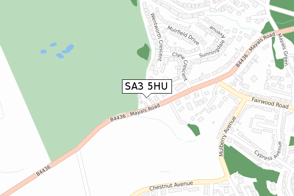
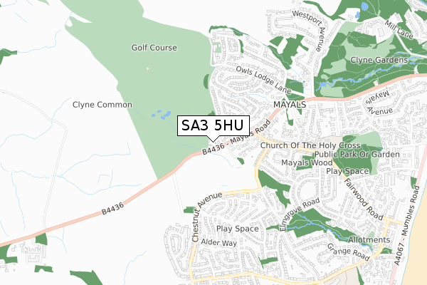
SA3 5HU is located in the Mayals electoral ward, within the unitary authority of Swansea and the Welsh Parliamentary constituency of Swansea West. The Local Health Board is Swansea Bay University and the police force is South Wales. This postcode has been in use since December 2019.


GetTheData
Source: OS Open Zoomstack (Ordnance Survey)
Licence: Open Government Licence (requires attribution)
Attribution: Contains OS data © Crown copyright and database right 2025
Source: Open Postcode Geo
Licence: Open Government Licence (requires attribution)
Attribution: Contains OS data © Crown copyright and database right 2025; Contains Royal Mail data © Royal Mail copyright and database right 2025; Source: Office for National Statistics licensed under the Open Government Licence v.3.0
| Easting | 260413 |
| Northing | 189989 |
| Latitude | 51.591414 |
| Longitude | -4.016455 |
GetTheData
Source: Open Postcode Geo
Licence: Open Government Licence
| Country | Wales |
| Postcode District | SA3 |
➜ See where SA3 is on a map ➜ Where is Swansea? | |
GetTheData
Source: Land Registry Price Paid Data
Licence: Open Government Licence
| Ward | Mayals |
| Constituency | Swansea West |
GetTheData
Source: ONS Postcode Database
Licence: Open Government Licence
2023 1 DEC £775,000 |
2020 14 AUG £485,000 |
2020 6 MAR £750,000 |
4, GOWER COURT, MAYALS, SWANSEA, SA3 5HU 2019 16 DEC £545,000 |
3, GOWER COURT, MAYALS, SWANSEA, SA3 5HU 2019 13 DEC £700,000 |
1, GOWER COURT, MAYALS, SWANSEA, SA3 5HU 2019 14 NOV £568,000 |
GetTheData
Source: HM Land Registry Price Paid Data
Licence: Contains HM Land Registry data © Crown copyright and database right 2025. This data is licensed under the Open Government Licence v3.0.
| Mayals Common (Mayals Road) | Mayals | 130m |
| Mayals Common (Mayals Road) | Mayals | 189m |
| Nazareth House (B4436) | Mayals | 258m |
| Mayals Road | Mayals | 289m |
| Gonhill (Chestnut Avenue) | West Cross | 300m |
GetTheData
Source: NaPTAN
Licence: Open Government Licence
GetTheData
Source: ONS Postcode Database
Licence: Open Government Licence


➜ Get more ratings from the Food Standards Agency
GetTheData
Source: Food Standards Agency
Licence: FSA terms & conditions
| Last Collection | |||
|---|---|---|---|
| Location | Mon-Fri | Sat | Distance |
| West Cross Lane (Upper) | 18:00 | 13:30 | 936m |
| Mayals Road | 17:45 | 13:30 | 1,141m |
| Clyne Castle | 18:00 | 13:45 | 1,220m |
GetTheData
Source: Dracos
Licence: Creative Commons Attribution-ShareAlike
The below table lists the International Territorial Level (ITL) codes (formerly Nomenclature of Territorial Units for Statistics (NUTS) codes) and Local Administrative Units (LAU) codes for SA3 5HU:
| ITL 1 Code | Name |
|---|---|
| TLL | Wales |
| ITL 2 Code | Name |
| TLL1 | West Wales and The Valleys |
| ITL 3 Code | Name |
| TLL18 | Swansea |
| LAU 1 Code | Name |
| W06000011 | Swansea |
GetTheData
Source: ONS Postcode Directory
Licence: Open Government Licence
The below table lists the Census Output Area (OA), Lower Layer Super Output Area (LSOA), and Middle Layer Super Output Area (MSOA) for SA3 5HU:
| Code | Name | |
|---|---|---|
| OA | W00004307 | |
| LSOA | W01000804 | Swansea 028C |
| MSOA | W02000195 | Swansea 028 |
GetTheData
Source: ONS Postcode Directory
Licence: Open Government Licence
| SA3 5HG | Curlew Close | 47m |
| SA3 5HJ | Clyne Close | 115m |
| SA3 5HL | Clyne Close | 116m |
| SA3 5HN | Clyne Crescent | 165m |
| SA3 5HH | Whitestone Close | 168m |
| SA3 5HQ | Mayals Road | 170m |
| SA3 5HT | Wentworth Crescent | 198m |
| SA3 5HS | Muirfield Drive | 269m |
| SA3 5HP | Sunningdale Avenue | 305m |
| SA3 5HF | Mayals Road | 307m |
GetTheData
Source: Open Postcode Geo; Land Registry Price Paid Data
Licence: Open Government Licence