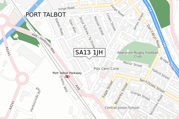
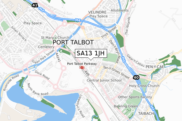
SA13 1JH is located in the Port Talbot electoral ward, within the unitary authority of Neath Port Talbot and the Welsh Parliamentary constituency of Aberavon. The Local Health Board is Swansea Bay University and the police force is South Wales. This postcode has been in use since October 2017.


GetTheData
Source: OS Open Zoomstack (Ordnance Survey)
Licence: Open Government Licence (requires attribution)
Attribution: Contains OS data © Crown copyright and database right 2025
Source: Open Postcode Geo
Licence: Open Government Licence (requires attribution)
Attribution: Contains OS data © Crown copyright and database right 2025; Contains Royal Mail data © Royal Mail copyright and database right 2025; Source: Office for National Statistics licensed under the Open Government Licence v.3.0
| Easting | 276792 |
| Northing | 189803 |
| Latitude | 51.593564 |
| Longitude | -3.780075 |
GetTheData
Source: Open Postcode Geo
Licence: Open Government Licence
| Country | Wales |
| Postcode District | SA13 |
➜ See where SA13 is on a map ➜ Where is Port Talbot? | |
GetTheData
Source: Land Registry Price Paid Data
Licence: Open Government Licence
| Ward | Port Talbot |
| Constituency | Aberavon |
GetTheData
Source: ONS Postcode Database
Licence: Open Government Licence
| Parkway Station (Heilbronn Way) | Port Talbot | 126m |
| Parkway Station (Heilbronn Way) | Port Talbot | 151m |
| Plaza (Talbot Road) | Port Talbot | 268m |
| The Legion (Talbot Road) | Port Talbot | 276m |
| Central Junior School (Broad Street) | Port Talbot | 352m |
| Port Talbot Parkway Station | 0.2km |
| Baglan Station | 3.3km |
| Briton Ferry Station | 5.6km |
GetTheData
Source: NaPTAN
Licence: Open Government Licence
GetTheData
Source: ONS Postcode Database
Licence: Open Government Licence


➜ Get more ratings from the Food Standards Agency
GetTheData
Source: Food Standards Agency
Licence: FSA terms & conditions
| Last Collection | |||
|---|---|---|---|
| Location | Mon-Fri | Sat | Distance |
| Tanygroes Street Post Office | 17:45 | 11:30 | 305m |
| Sunny Croft Road | 17:30 | 07:30 | 3,176m |
| Mayberry Road Post Office | 17:30 | 11:30 | 4,088m |
GetTheData
Source: Dracos
Licence: Creative Commons Attribution-ShareAlike
The below table lists the International Territorial Level (ITL) codes (formerly Nomenclature of Territorial Units for Statistics (NUTS) codes) and Local Administrative Units (LAU) codes for SA13 1JH:
| ITL 1 Code | Name |
|---|---|
| TLL | Wales |
| ITL 2 Code | Name |
| TLL1 | West Wales and The Valleys |
| ITL 3 Code | Name |
| TLL17 | Bridgend and Neath Port Talbot |
| LAU 1 Code | Name |
| W06000012 | Neath Port Talbot |
GetTheData
Source: ONS Postcode Directory
Licence: Open Government Licence
The below table lists the Census Output Area (OA), Lower Layer Super Output Area (LSOA), and Middle Layer Super Output Area (MSOA) for SA13 1JH:
| Code | Name | |
|---|---|---|
| OA | W00005043 | |
| LSOA | W01000951 | Neath Port Talbot 018C |
| MSOA | W02000216 | Neath Port Talbot 018 |
GetTheData
Source: ONS Postcode Directory
Licence: Open Government Licence
| SA13 1JB | Station Road | 43m |
| SA13 1XA | Grove Place | 48m |
| SA13 1EZ | Grove Place | 75m |
| SA13 1JJ | Courtland Place | 77m |
| SA13 1NN | Station Road | 84m |
| SA13 1BP | Oakwood Street | 87m |
| SA13 1JS | Station Road | 111m |
| SA13 1BR | Tydraw Street | 122m |
| SA13 1DF | Oakwood Lane | 125m |
| SA13 1BT | Tydraw Street | 127m |
GetTheData
Source: Open Postcode Geo; Land Registry Price Paid Data
Licence: Open Government Licence