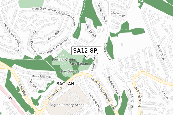
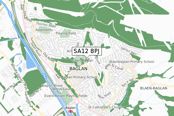
SA12 8PJ is located in the Baglan electoral ward, within the unitary authority of Neath Port Talbot and the Welsh Parliamentary constituency of Aberavon. The Local Health Board is Swansea Bay University and the police force is South Wales. This postcode has been in use since January 2019.


GetTheData
Source: OS Open Zoomstack (Ordnance Survey)
Licence: Open Government Licence (requires attribution)
Attribution: Contains OS data © Crown copyright and database right 2025
Source: Open Postcode Geo
Licence: Open Government Licence (requires attribution)
Attribution: Contains OS data © Crown copyright and database right 2025; Contains Royal Mail data © Royal Mail copyright and database right 2025; Source: Office for National Statistics licensed under the Open Government Licence v.3.0
| Easting | 275039 |
| Northing | 192957 |
| Latitude | 51.621523 |
| Longitude | -3.806493 |
GetTheData
Source: Open Postcode Geo
Licence: Open Government Licence
| Country | Wales |
| Postcode District | SA12 |
➜ See where SA12 is on a map ➜ Where is Baglan? | |
GetTheData
Source: Land Registry Price Paid Data
Licence: Open Government Licence
| Ward | Baglan |
| Constituency | Aberavon |
GetTheData
Source: ONS Postcode Database
Licence: Open Government Licence
| Libary (Laurel Avenue) | Baglan | 74m |
| Caer Hir Cottage (Chestnut Road) | Baglan | 84m |
| Library (Laurel Avenue) | Baglan | 86m |
| Caer Hir Cottage (Chestnut Road) | Baglan | 88m |
| Park (Lodge Drive) | Baglan | 131m |
| Baglan Station | 0.7km |
| Briton Ferry Station | 2km |
| Port Talbot Parkway Station | 3.7km |
GetTheData
Source: NaPTAN
Licence: Open Government Licence
| Percentage of properties with Next Generation Access | 100.0% |
| Percentage of properties with Superfast Broadband | 100.0% |
| Percentage of properties with Ultrafast Broadband | 0.0% |
| Percentage of properties with Full Fibre Broadband | 0.0% |
Superfast Broadband is between 30Mbps and 300Mbps
Ultrafast Broadband is > 300Mbps
| Percentage of properties unable to receive 2Mbps | 0.0% |
| Percentage of properties unable to receive 5Mbps | 0.0% |
| Percentage of properties unable to receive 10Mbps | 0.0% |
| Percentage of properties unable to receive 30Mbps | 0.0% |
GetTheData
Source: Ofcom
Licence: Ofcom Terms of Use (requires attribution)
GetTheData
Source: ONS Postcode Database
Licence: Open Government Licence


➜ Get more ratings from the Food Standards Agency
GetTheData
Source: Food Standards Agency
Licence: FSA terms & conditions
| Last Collection | |||
|---|---|---|---|
| Location | Mon-Fri | Sat | Distance |
| Mayberry Road Post Office | 17:30 | 11:30 | 526m |
| Sunny Croft Road | 17:30 | 07:30 | 581m |
| Tanygroes Street Post Office | 17:45 | 11:30 | 3,354m |
GetTheData
Source: Dracos
Licence: Creative Commons Attribution-ShareAlike
The below table lists the International Territorial Level (ITL) codes (formerly Nomenclature of Territorial Units for Statistics (NUTS) codes) and Local Administrative Units (LAU) codes for SA12 8PJ:
| ITL 1 Code | Name |
|---|---|
| TLL | Wales |
| ITL 2 Code | Name |
| TLL1 | West Wales and The Valleys |
| ITL 3 Code | Name |
| TLL17 | Bridgend and Neath Port Talbot |
| LAU 1 Code | Name |
| W06000012 | Neath Port Talbot |
GetTheData
Source: ONS Postcode Directory
Licence: Open Government Licence
The below table lists the Census Output Area (OA), Lower Layer Super Output Area (LSOA), and Middle Layer Super Output Area (MSOA) for SA12 8PJ:
| Code | Name | |
|---|---|---|
| OA | W00004738 | |
| LSOA | W01000891 | Neath Port Talbot 015C |
| MSOA | W02000213 | Neath Port Talbot 015 |
GetTheData
Source: ONS Postcode Directory
Licence: Open Government Licence
| SA12 8PS | Cae Hir Cottages | 62m |
| SA12 8PA | Laurel Avenue | 65m |
| SA12 8PY | Sycamore Court | 97m |
| SA12 8PE | Chestnut Road | 102m |
| SA12 8PB | Laburnham Avenue | 149m |
| SA12 8PD | Lilac Grove | 176m |
| SA12 8NU | Fairwood Drive | 182m |
| SA12 8UH | Rosewood Avenue | 195m |
| SA12 8PH | Hawthorn Avenue | 196m |
| SA12 8PN | Birch Road | 210m |
GetTheData
Source: Open Postcode Geo; Land Registry Price Paid Data
Licence: Open Government Licence