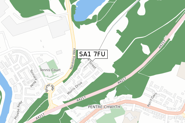
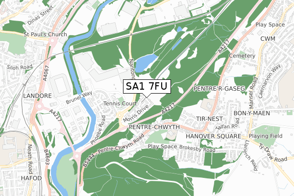
SA1 7FU is located in the Bôn-y-maen electoral ward, within the unitary authority of Swansea and the Welsh Parliamentary constituency of Swansea East. The Local Health Board is Swansea Bay University and the police force is South Wales. This postcode has been in use since November 2018.


GetTheData
Source: OS Open Zoomstack (Ordnance Survey)
Licence: Open Government Licence (requires attribution)
Attribution: Contains OS data © Crown copyright and database right 2025
Source: Open Postcode Geo
Licence: Open Government Licence (requires attribution)
Attribution: Contains OS data © Crown copyright and database right 2025; Contains Royal Mail data © Royal Mail copyright and database right 2025; Source: Office for National Statistics licensed under the Open Government Licence v.3.0
| Easting | 266968 |
| Northing | 195434 |
| Latitude | 51.641931 |
| Longitude | -3.923955 |
GetTheData
Source: Open Postcode Geo
Licence: Open Government Licence
| Country | Wales |
| Postcode District | SA1 |
➜ See where SA1 is on a map ➜ Where is Swansea? | |
GetTheData
Source: Land Registry Price Paid Data
Licence: Open Government Licence
| Ward | Bôn-y-maen |
| Constituency | Swansea East |
GetTheData
Source: ONS Postcode Database
Licence: Open Government Licence
| Brunel Way (Nantong Way) | Pentre-chwyth | 188m |
| Gwyndy Stores (Pentre-chwyth Road) | Pentre-chwyth | 250m |
| Brunel Way (Nantong Way) | Pentre-chwyth | 255m |
| Gwyndy Stores (Pentre-chwyth Road) | Pentre-chwyth | 274m |
| Morfa Retail Park (Brunel Way) | Pentre-chwyth | 282m |
| Swansea Station | 2.2km |
| Llansamlet Station | 3.5km |
GetTheData
Source: NaPTAN
Licence: Open Government Licence
| Percentage of properties with Next Generation Access | 100.0% |
| Percentage of properties with Superfast Broadband | 100.0% |
| Percentage of properties with Ultrafast Broadband | 100.0% |
| Percentage of properties with Full Fibre Broadband | 100.0% |
Superfast Broadband is between 30Mbps and 300Mbps
Ultrafast Broadband is > 300Mbps
| Percentage of properties unable to receive 2Mbps | 0.0% |
| Percentage of properties unable to receive 5Mbps | 0.0% |
| Percentage of properties unable to receive 10Mbps | 0.0% |
| Percentage of properties unable to receive 30Mbps | 0.0% |
GetTheData
Source: Ofcom
Licence: Ofcom Terms of Use (requires attribution)
GetTheData
Source: ONS Postcode Database
Licence: Open Government Licence


➜ Get more ratings from the Food Standards Agency
GetTheData
Source: Food Standards Agency
Licence: FSA terms & conditions
| Last Collection | |||
|---|---|---|---|
| Location | Mon-Fri | Sat | Distance |
| Brunel Way (Morrisons) | 17:30 | 13:30 | 246m |
| Swansea Mail Centre | 19:30 | 15:15 | 764m |
| Bonymaen P O | 18:00 | 11:30 | 895m |
GetTheData
Source: Dracos
Licence: Creative Commons Attribution-ShareAlike
The below table lists the International Territorial Level (ITL) codes (formerly Nomenclature of Territorial Units for Statistics (NUTS) codes) and Local Administrative Units (LAU) codes for SA1 7FU:
| ITL 1 Code | Name |
|---|---|
| TLL | Wales |
| ITL 2 Code | Name |
| TLL1 | West Wales and The Valleys |
| ITL 3 Code | Name |
| TLL18 | Swansea |
| LAU 1 Code | Name |
| W06000011 | Swansea |
GetTheData
Source: ONS Postcode Directory
Licence: Open Government Licence
The below table lists the Census Output Area (OA), Lower Layer Super Output Area (LSOA), and Middle Layer Super Output Area (MSOA) for SA1 7FU:
| Code | Name | |
|---|---|---|
| OA | W00003974 | |
| LSOA | W01000741 | Swansea 014D |
| MSOA | W02000181 | Swansea 014 |
GetTheData
Source: ONS Postcode Directory
Licence: Open Government Licence
| SA1 7EG | Morris Drive | 154m |
| SA1 7DS | Brunel Way | 257m |
| SA1 7AN | Pentrechwyth Road | 275m |
| SA1 7FE | Tonnant Road | 321m |
| SA1 7FP | Tonnant Road | 338m |
| SA1 7FN | Temeraire Court | 369m |
| SA1 7FB | Naiad Road | 371m |
| SA1 7AA | Pentrechwyth Road | 377m |
| SA1 7AW | Bonymaen Road | 377m |
| SA1 7FS | Bellerphon Court | 387m |
GetTheData
Source: Open Postcode Geo; Land Registry Price Paid Data
Licence: Open Government Licence